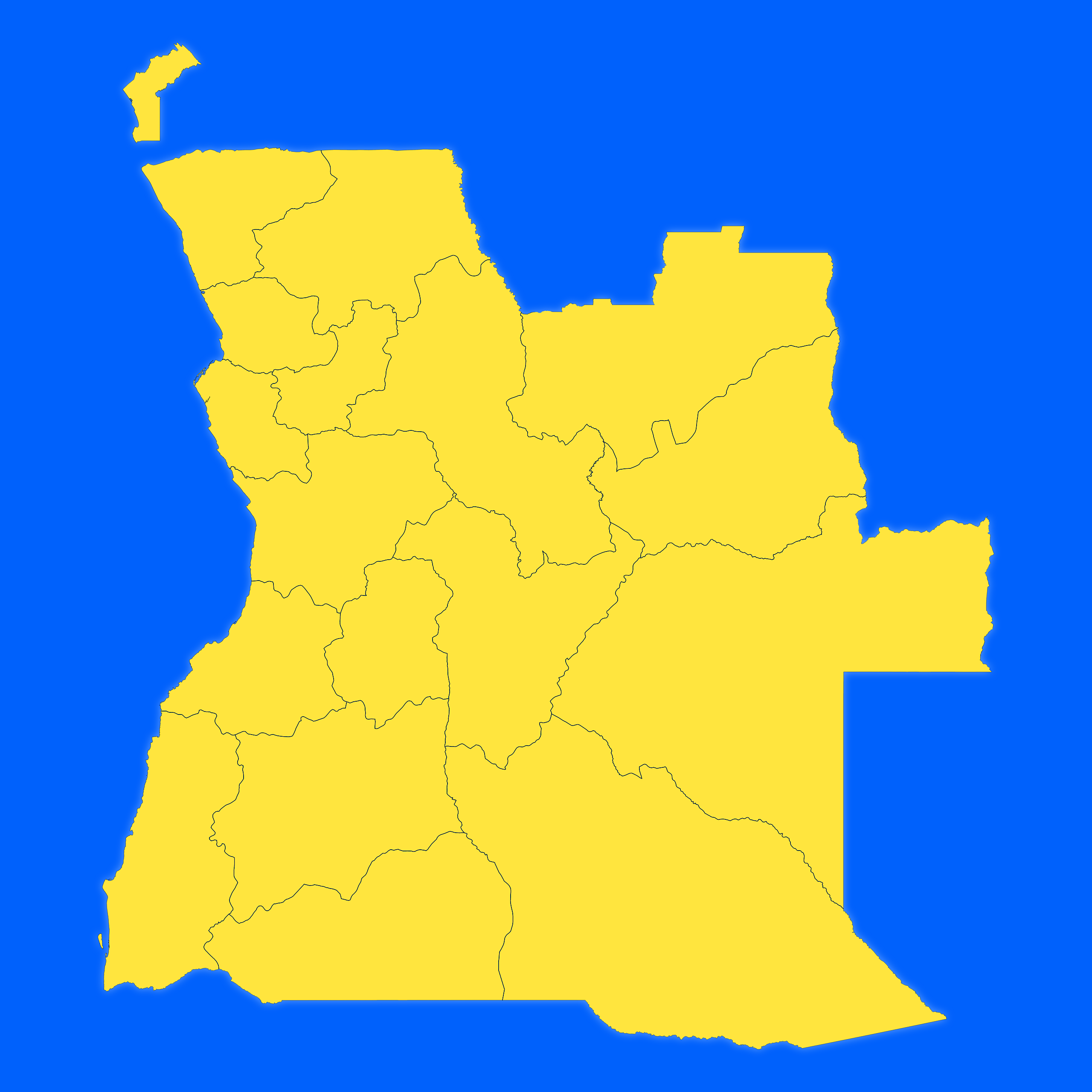
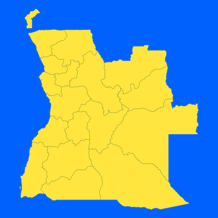
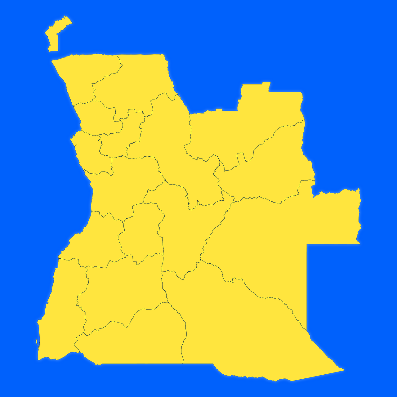
Map #104327
Download map
PNG format
Full (2560x2560)
SVG format
Scalable vector (any size)
Licence
 Licenced under a Creative Commons Attribution 4.0 International Licence
Free to copy and distribute.
Free for commercial and non-commercial use, but you must credit.
Attribution example:
Image source: SuperMap.World
Unlock this map
Access high definition downloads and full-use licence (no attribution required).
Description
Mercator projection map of Angola showing province boundaries in night azure and dim indigo
Projection
Location
Data source
Similar

#142631🇦🇴 Angola

#148759🇦🇴 Angola

#179018🇦🇴 Angola

#180221🇦🇴 Angola

#299986🇦🇴 Angola

#328034🇦🇴 Angola

#360585🇦🇴 Angola

#471413🇦🇴 Angola