Map #107045
Download map
PNG format
Full (2560x2560)
SVG format
Scalable vector (any size)
Licence
 Licenced under a Creative Commons Attribution 4.0 International Licence
Free to copy and distribute.
Free for commercial and non-commercial use, but you must credit.
Attribution example:
Image source: SuperMap.World
Unlock this map
Access high definition downloads and full-use licence (no attribution required).
Description
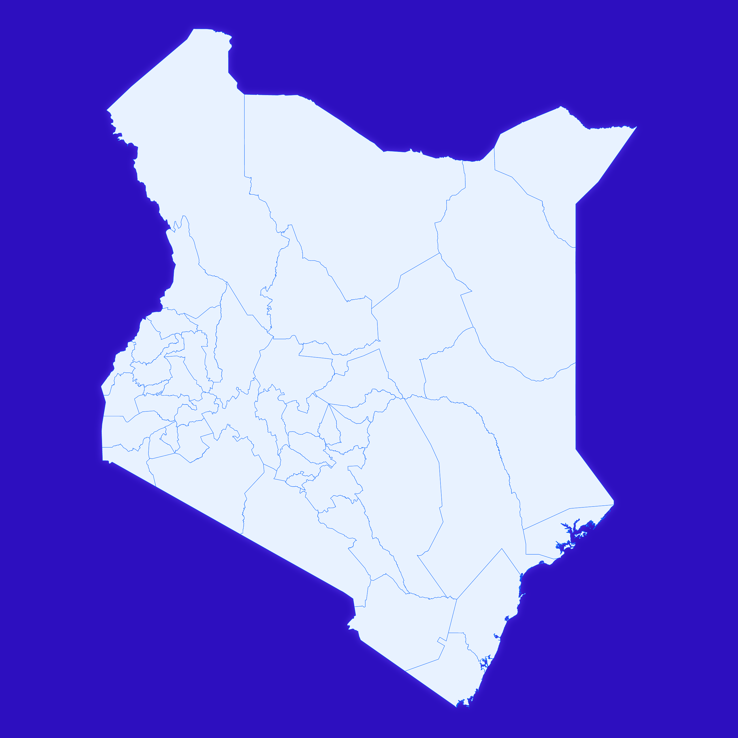
Mercator projection map of Kenya showing counties boundaries in whitened-azure and dim indigo
Projection
Location
Data source
Similar

#167097🇰🇪 Kenya

#211469🇰🇪 Kenya

#310493🇰🇪 Kenya

#311713🇰🇪 Kenya

#342877🇰🇪 Kenya

#359204🇰🇪 Kenya

#371413🇰🇪 Kenya

#518228🇰🇪 Kenya