
Map #112954
Download map
PNG format
Full (2560x1965)
SVG format
Scalable vector (any size)
Licence
 Licenced under a Creative Commons Attribution 4.0 International Licence
Free to copy and distribute.
Free for commercial and non-commercial use, but you must credit.
Attribution example:
Image source: SuperMap.World
Unlock this map
Access high definition downloads and full-use licence (no attribution required).
Description
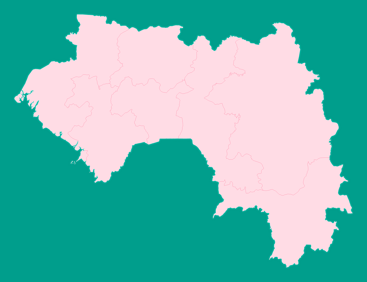
Mercator projection map of Guinea showing administrative regions and governate boundaries in pastel rose and teal
Projection
Location
Data source
Similar

#30379🇬🇼 Guinea-Bissau

#32369🇬🇼 Guinea-Bissau

#292258🇬🇳 Guinea

#364893🇬🇼 Guinea-Bissau
#384904🇬🇳 Guinea

#406654🇬🇼 Guinea-Bissau

#451880🇬🇼 Guinea-Bissau

#492812🇬🇳 Guinea