Map #118362

Description

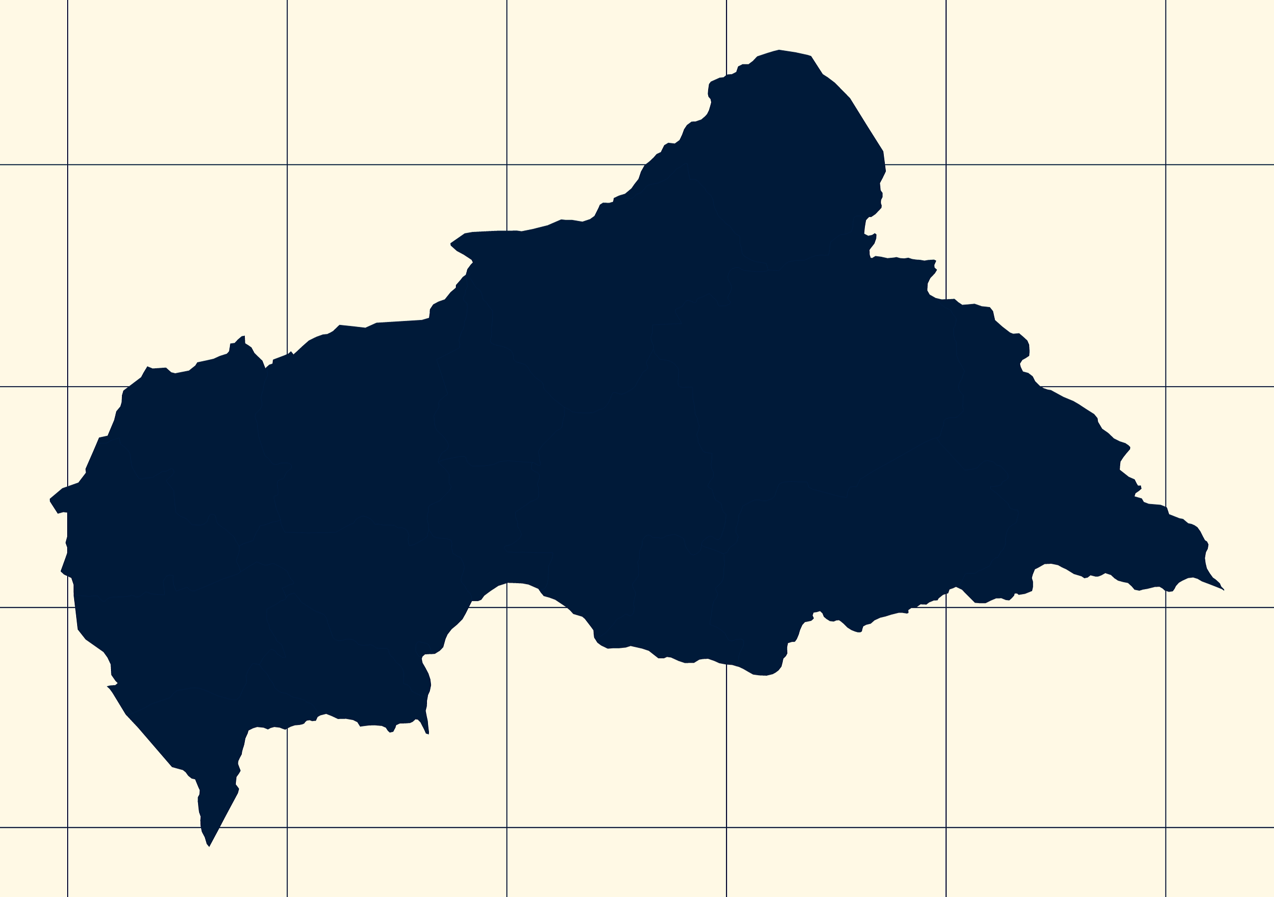
Mercator projection map of Central African Republic showing prefecture and commune boundaries in night blue and whitened-beige

Colours

Projection

Mercator

Location

Central African Republic

Data source

geoBoundaries, Wikimedia


Similar

Mercator projection map of Central African Republic showing prefecture and commune boundaries in violet and maize-yellow

#29436🇨🇫 Central African Republic

Orthographic projection map of the World focused on Central African Republic in night azure and dim indigo

#33669🇨🇫 Central African Republic

Orthographic projection map of the World focused on Central African Republic in light gray and kassel-earth

#136334🇨🇫 Central African Republic

Orthographic projection map of the World focused on Central African Republic in night blue and whitened-beige

#238862🇨🇫 Central African Republic

Orthographic projection map of the World focused on Central African Republic in dark amber on transparent background

#313317🇨🇫 Central African Republic

Mercator projection map of Central African Republic showing sub-prefectures boundaries in night blue and whitened-beige

#354692🇨🇫 Central African Republic

Orthographic projection map of the World focused on Central African Republic in night teal on transparent background

#425030🇨🇫 Central African Republic

Mercator projection map of Central African Republic showing sub-prefectures boundaries in night teal on transparent background

#550459🇨🇫 Central African Republic