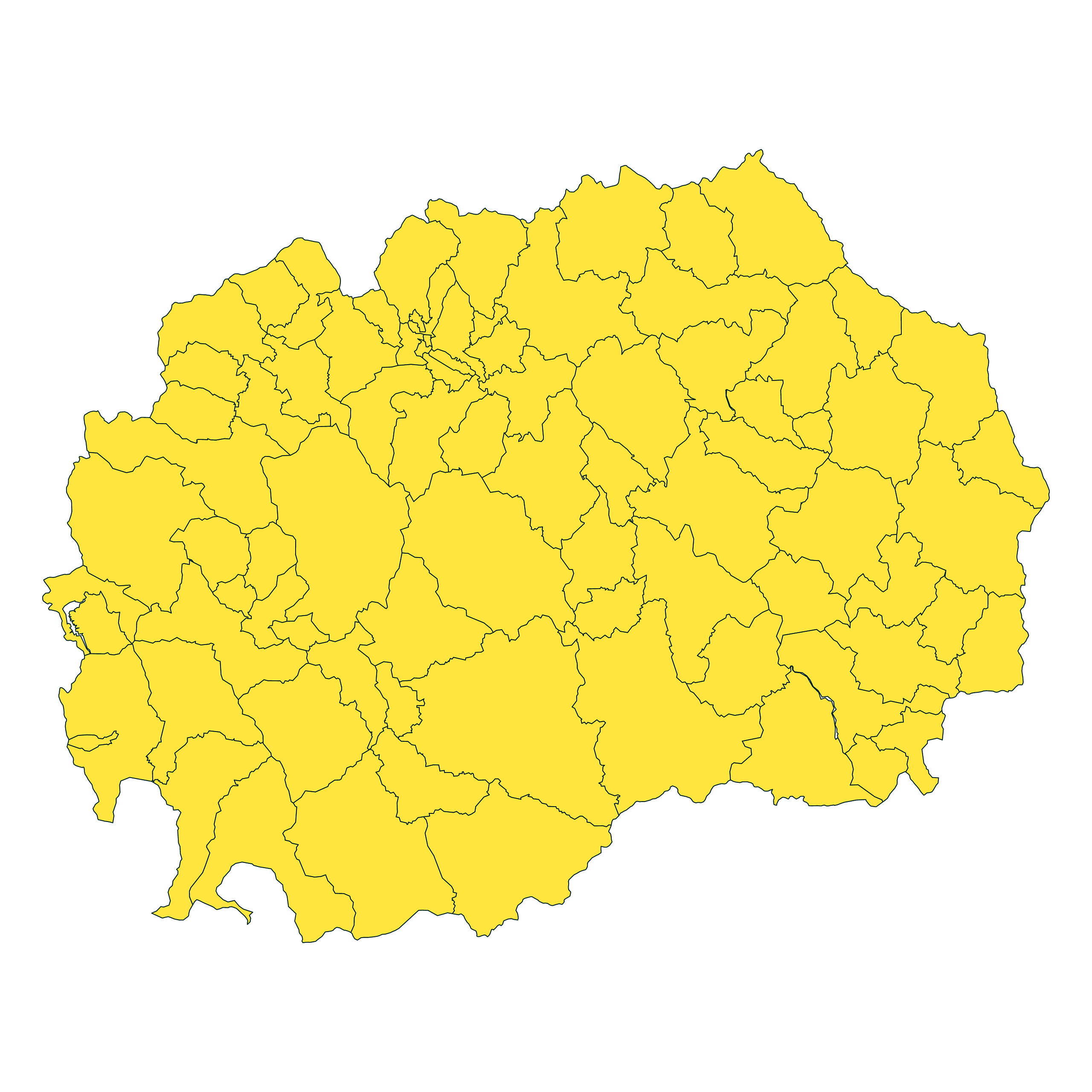
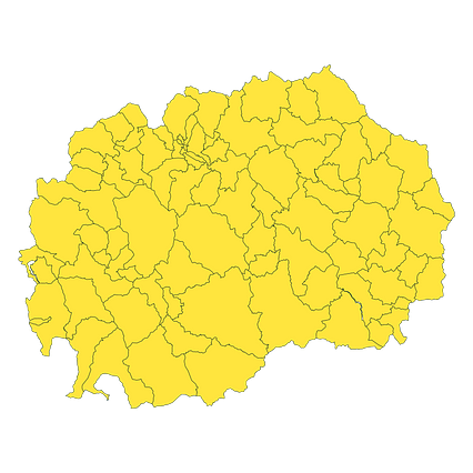
Map #124422
Download map
PNG format
Full (2560x2560)
SVG format
Scalable vector (any size)
Licence
 Licenced under a Creative Commons Attribution 4.0 International Licence
Free to copy and distribute.
Free for commercial and non-commercial use, but you must credit.
Attribution example:
Image source: SuperMap.World
Unlock this map
Access high definition downloads and full-use licence (no attribution required).
Description
Mercator projection map of North Macedonia showing opštini boundaries in night teal on transparent background
Projection
Location
Similar

#111104🇲🇰 Macedonia

#350586🇲🇰 Macedonia

#414559🇲🇰 Macedonia

#456261🇲🇰 Macedonia

#670901🇲🇰 Macedonia

#719478🇲🇰 Macedonia

#925519🇲🇰 Macedonia