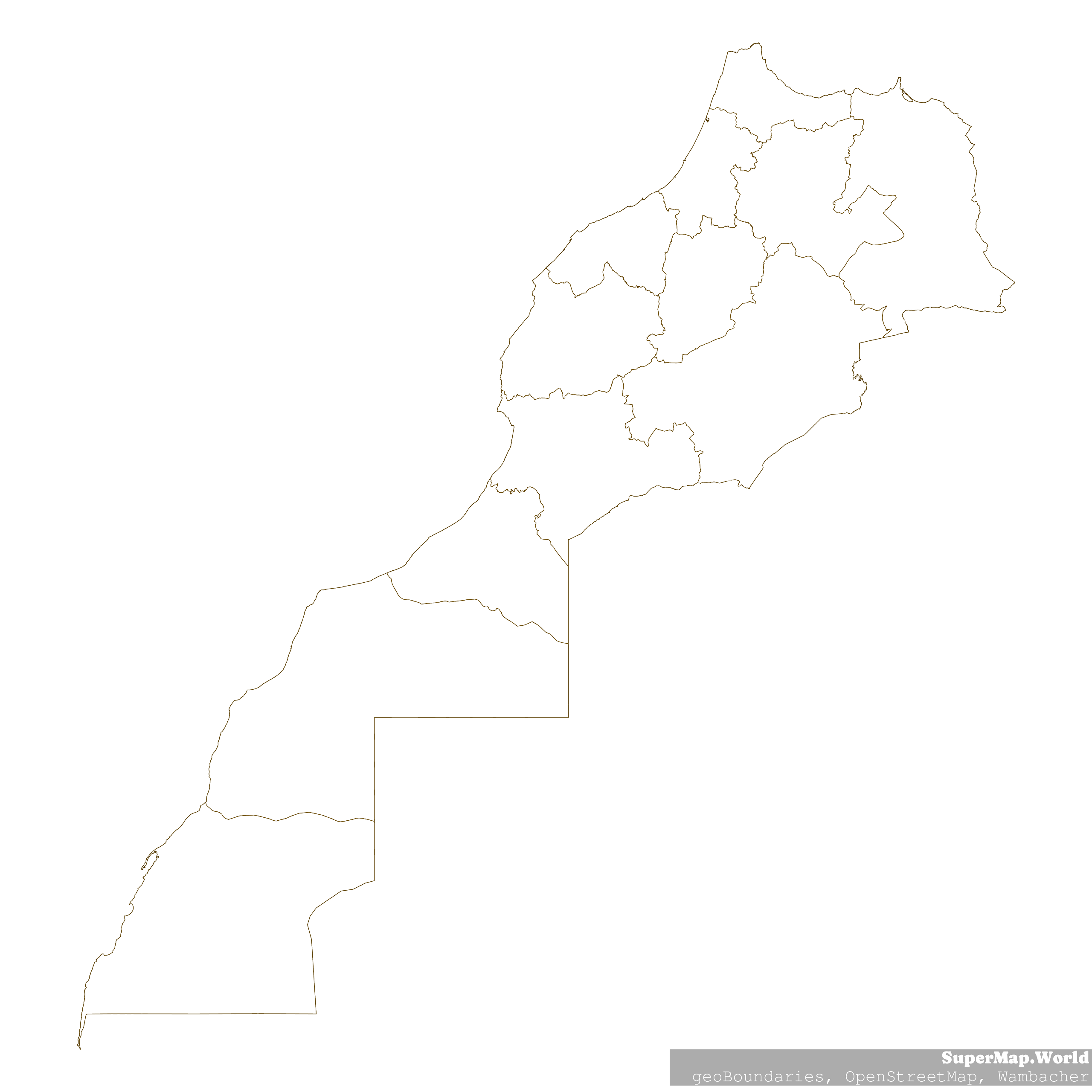
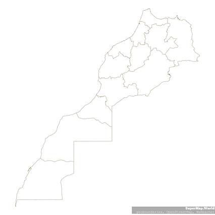
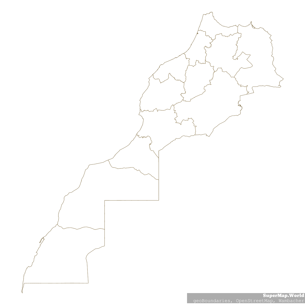
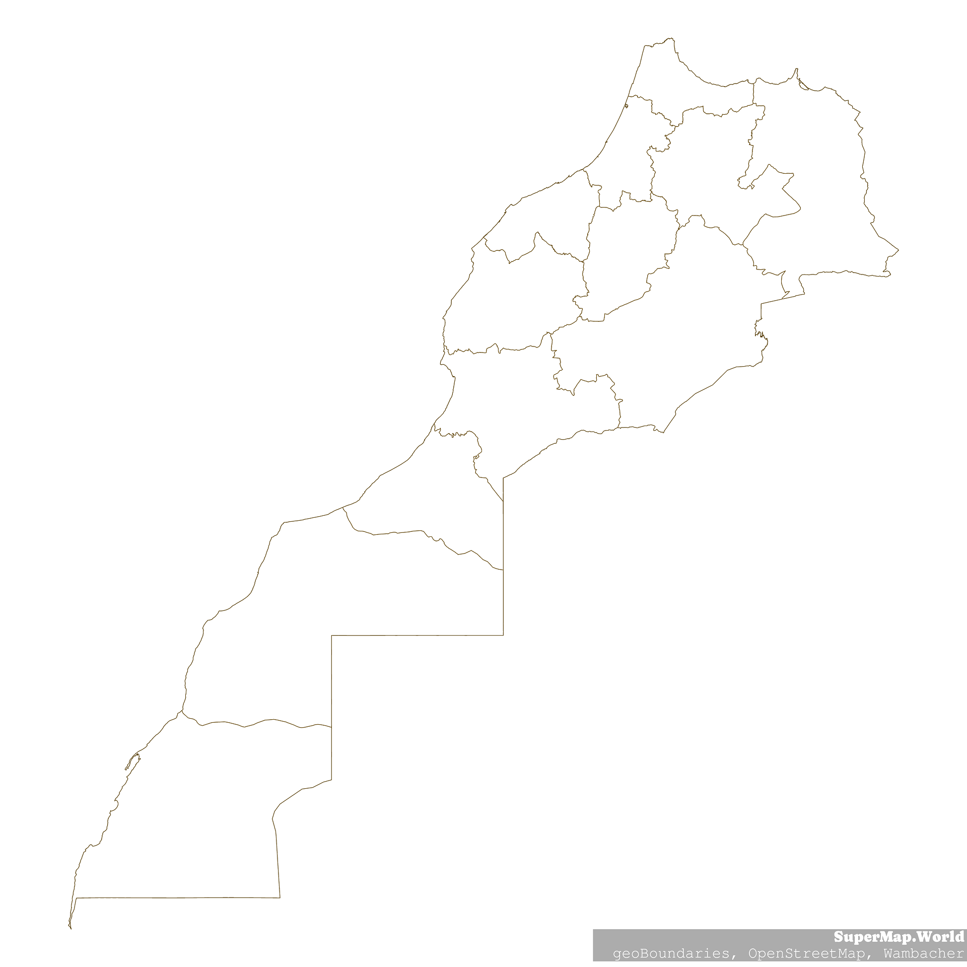
Map #12500
Download map
PNG format
Full (2560x2560)
SVG format
Scalable vector (any size)
Licence
Licenced under a Open Data Commons Open Database License 1.0
- Free to copy and distribute
- Free for commercial and non-commercial use, but you must credit (Image: SuperMap.World, Data: geoBoundaries, OpenStreetMap, Wambacher)
- Share-alike: if you publicly use any adapted version you must also offer that adapted work under the same licence
Unlock this map
Access high definition downloads and full-use licence (no attribution required).
Description
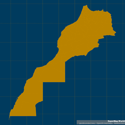
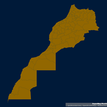
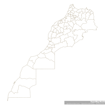
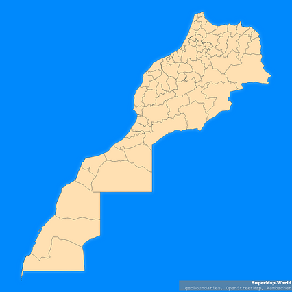
Mercator projection map of Morocco showing region boundaries in dark amber on transparent background
Projection
Location
Data source
Licence
Open Data Commons Open Database License 1.0
Similar
#35288🇲🇦 Morocco
#71542🇲🇦 Morocco
#96451🇲🇦 Morocco
#194966🇲🇦 Morocco

#232396🇲🇦 Morocco

#299634🇲🇦 Morocco
#406346🇲🇦 Morocco
#555796🇲🇦 Morocco