
Map #130009
Download map
PNG format
Full (2560x2560)
SVG format
Scalable vector (any size)
Licence
 Licenced under a Creative Commons Attribution 4.0 International Licence
Free to copy and distribute.
Free for commercial and non-commercial use, but you must credit.
Attribution example:
Image source: SuperMap.World
Unlock this map
Access high definition downloads and full-use licence (no attribution required).
Description
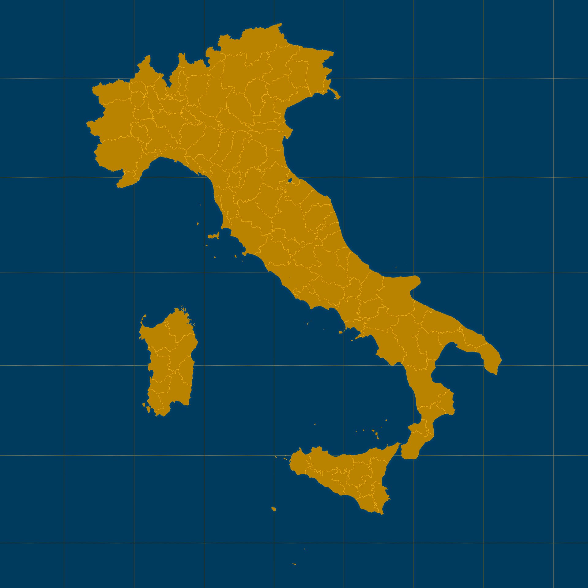
Mercator projection map of Italy showing province boundaries in amber and dark azure
Projection
Location
Similar

#45201🇮🇹 Italy

#150798🇮🇹 Italy

#272042🇮🇹 Italy

#281864🇮🇹 Italy

#420981🇮🇹 Italy

#439507🇮🇹 Italy

#602153🇮🇹 Italy

#654496🇮🇹 Italy