Map #134424
Download map
PNG format
Full (1160x2560)
SVG format
Scalable vector (any size)
Licence
 Licenced under a Creative Commons Attribution 4.0 International Licence
Free to copy and distribute.
Free for commercial and non-commercial use, but you must credit.
Attribution example:
Image source: SuperMap.World
Unlock this map
Access high definition downloads and full-use licence (no attribution required).
Description
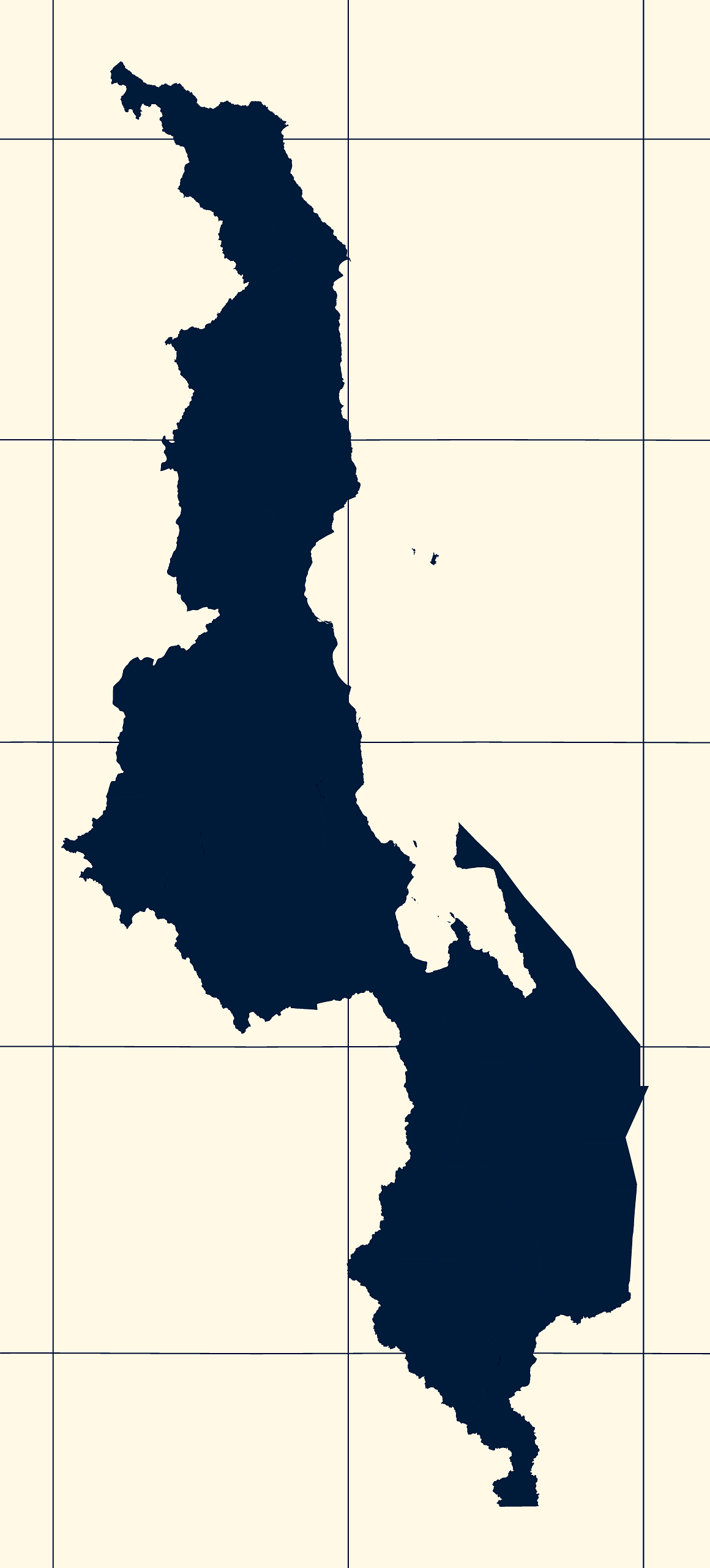
Mercator projection map of Malawi showing district boundaries in night blue and whitened-beige
Projection
Location
Similar

#34671🇲🇼 Malawi

#132990🇲🇼 Malawi

#406469🇲🇼 Malawi

#476354🇲🇼 Malawi

#528780🇲🇼 Malawi

#556610🇲🇼 Malawi

#556738🇲🇼 Malawi

#597499🇲🇼 Malawi