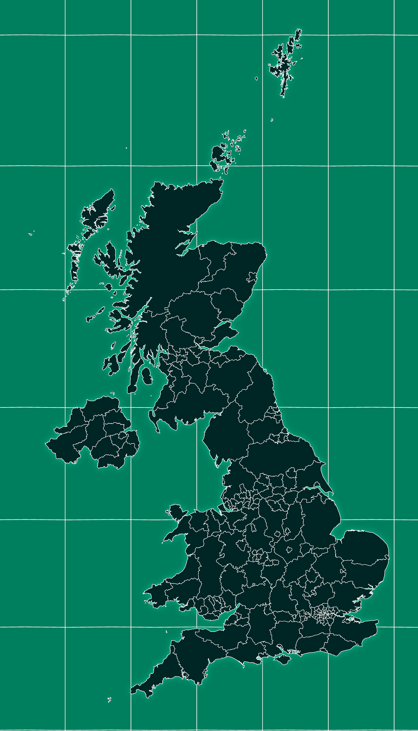
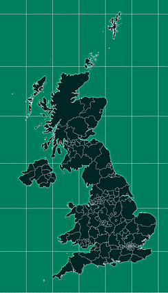
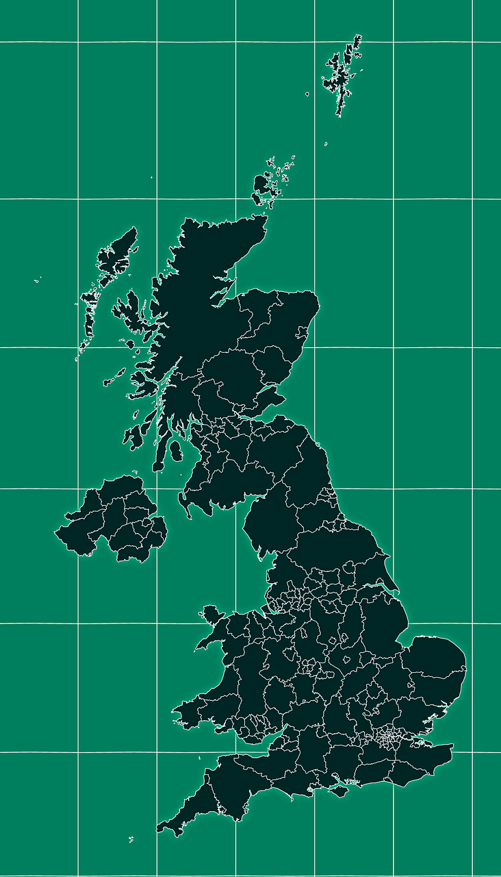
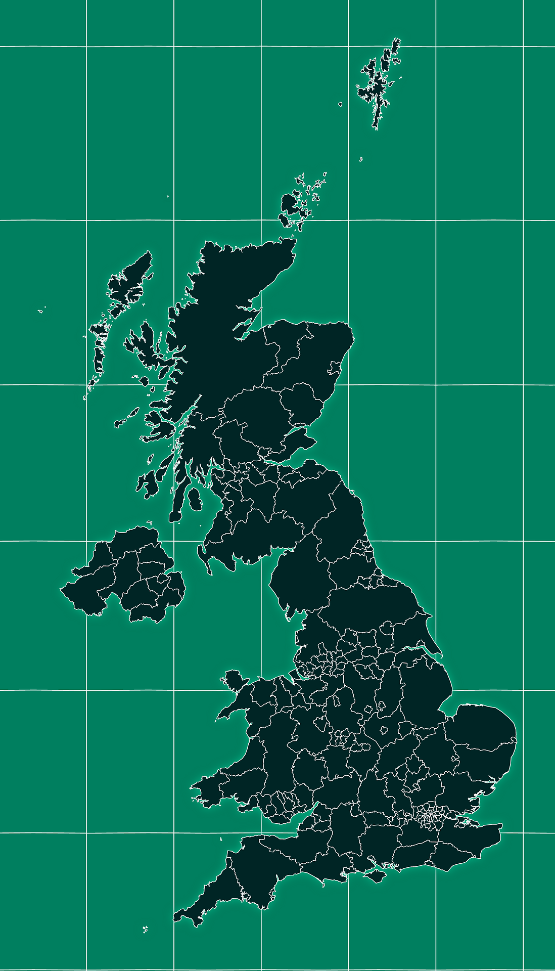
Map #140175
Download map
PNG format
Full (1464x2560)
SVG format
Scalable vector (any size)
Licence
 Licenced under a Creative Commons Attribution 4.0 International Licence
Free to copy and distribute.
Free for commercial and non-commercial use, but you must credit.
Attribution example:
Image source: SuperMap.World
Unlock this map
Access high definition downloads and full-use licence (no attribution required).
Description
Mercator projection map of United Kingdom in night cyan and whitened-rose
Projection
Location
Similar

#4111🇬🇧 United Kingdom

#88960🇬🇧 United Kingdom

#94158🇬🇧 United Kingdom

#164242🇬🇧 United Kingdom

#237272🇬🇧 United Kingdom

#273414🇬🇧 United Kingdom

#499007🇬🇧 United Kingdom

#522419🇬🇧 United Kingdom