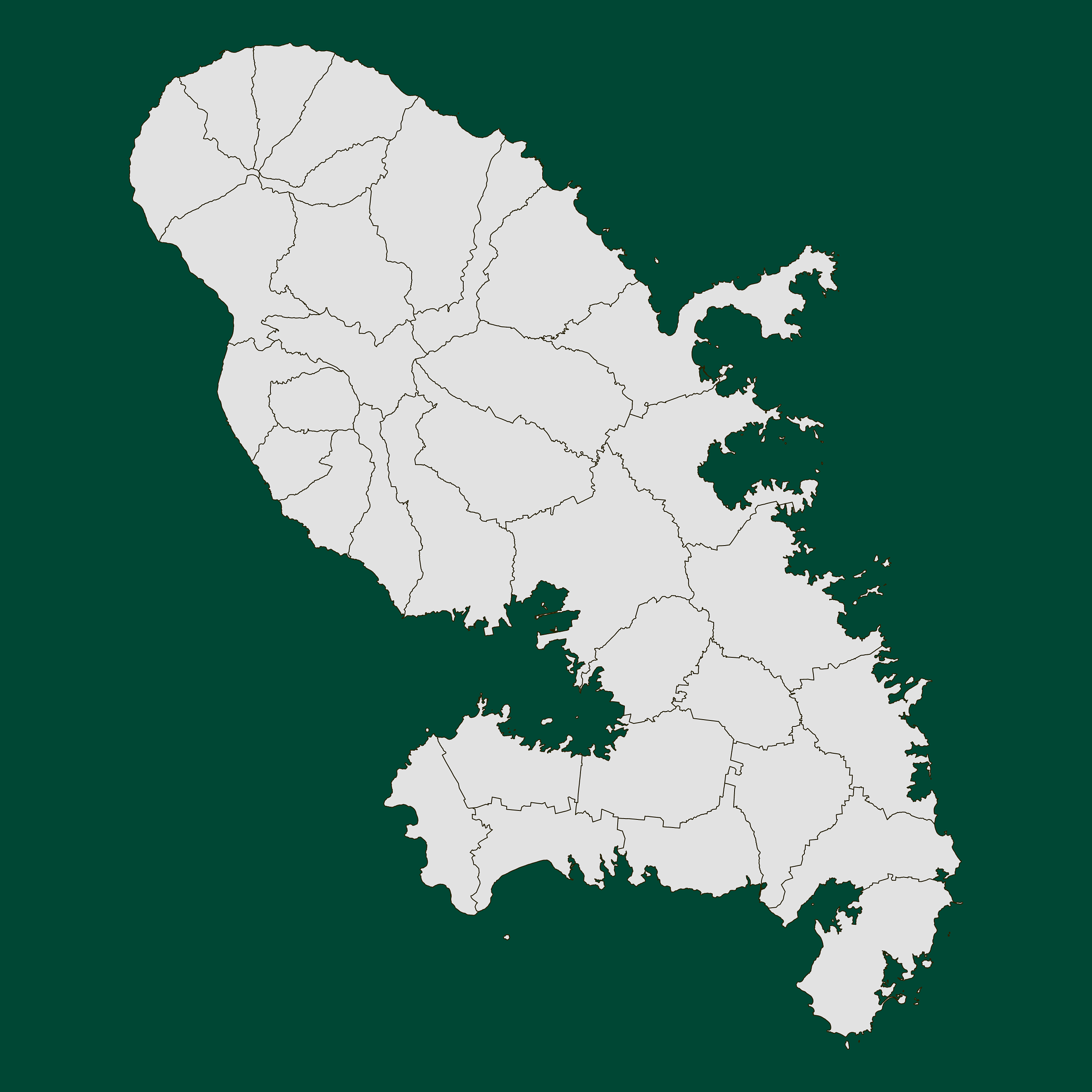
Map #152045

Description

Mercator projection map of Martinique in light gray and kassel-earth

Colours

Projection

Mercator

Location

Martinique

Data source

geoBoundaries, Institut national de l'information géographique et forestière (IGN-F)


Similar

Mercator projection map of Martinique showing commune boundaries in night blue and whitened-beige

#82220🇲🇶 Martinique

Mercator projection map of Martinique showing arrondissement boundaries in night blue and whitened-beige

#104916🇲🇶 Martinique

Mercator projection map of Martinique in dark amber on transparent background

#157743🇲🇶 Martinique

Mercator projection map of Martinique in dim powder on transparent background

#348447🇲🇶 Martinique

Mercator projection map of Martinique showing arrondissement boundaries in night azure and dim indigo

#509417🇲🇶 Martinique

Mercator projection map of Martinique showing arrondissement boundaries in violet and maize-yellow

#543242🇲🇶 Martinique

Mercator projection map of Martinique showing commune boundaries in night teal on transparent background

#586071🇲🇶 Martinique

Mercator projection map of Martinique showing commune boundaries in night azure and dim indigo

#859096🇲🇶 Martinique