
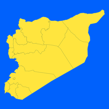
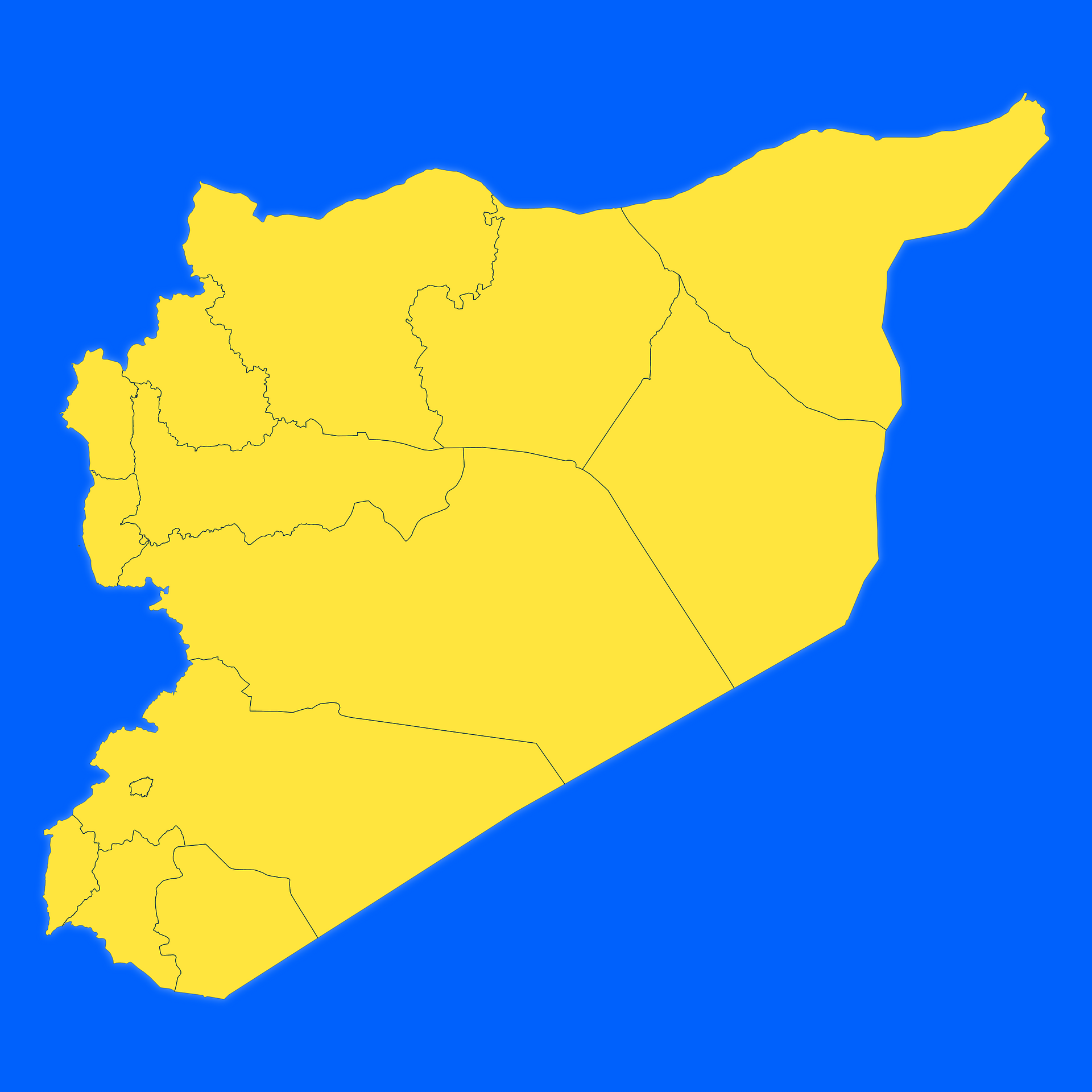
Map #170963
Download map
PNG format
Full (2560x2560)
SVG format
Scalable vector (any size)
Licence
 Licenced under a Creative Commons Attribution 4.0 International Licence
Free to copy and distribute.
Free for commercial and non-commercial use, but you must credit.
Attribution example:
Image source: SuperMap.World
Unlock this map
Access high definition downloads and full-use licence (no attribution required).
Description
Mercator projection map of Syrian Arab Republic showing governorate boundaries in night azure and dim indigo
Projection
Location
Similar

#158759🇸🇾 Syria

#217342🇸🇾 Syria

#435439🇸🇾 Syria

#511244🇸🇾 Syria

#569741🇸🇾 Syria

#586328🇸🇾 Syria

#662511🇸🇾 Syria

#850577🇸🇾 Syria