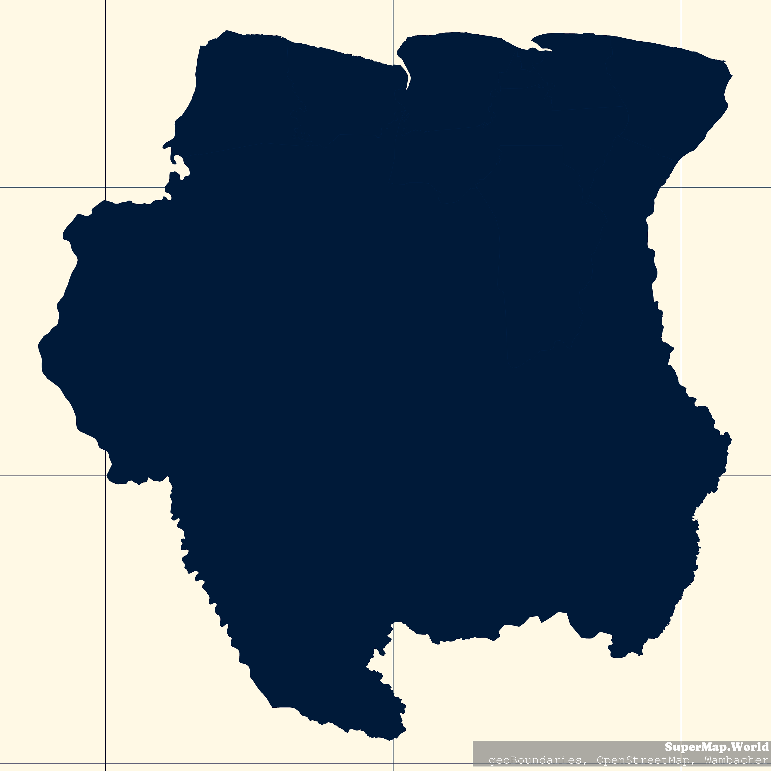
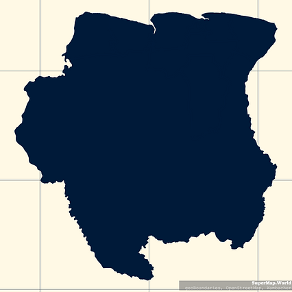
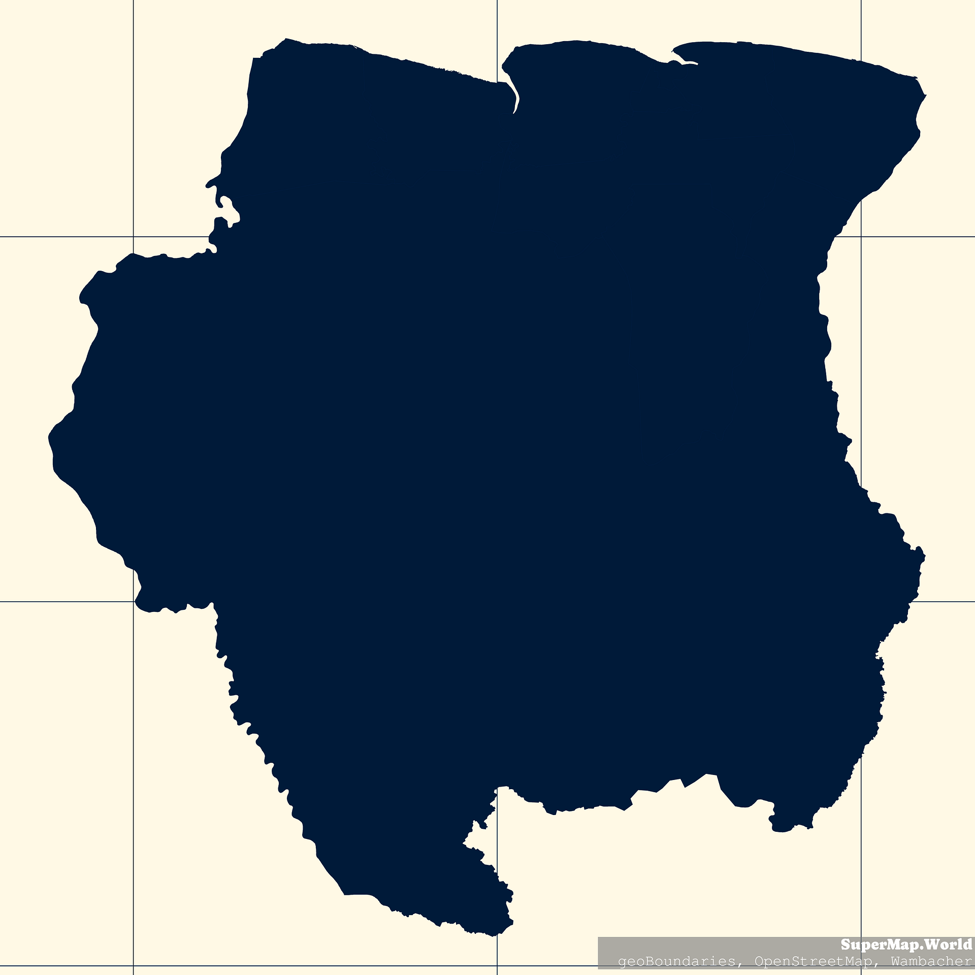
Map #192132
Download map
PNG format
Full (2560x2560)
SVG format
Scalable vector (any size)
Licence
Licenced under a Open Data Commons Open Database License 1.0
- Free to copy and distribute
- Free for commercial and non-commercial use, but you must credit (Image: SuperMap.World, Data: geoBoundaries, OpenStreetMap, Wambacher)
- Share-alike: if you publicly use any adapted version you must also offer that adapted work under the same licence
Unlock this map
Access high definition downloads and full-use licence (no attribution required).
Description
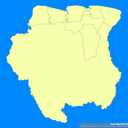
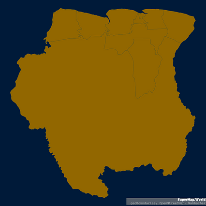
Mercator projection map of Suriname showing boundaries in night blue and whitened-beige
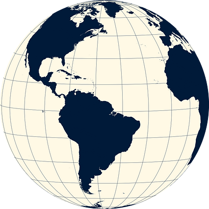
Projection
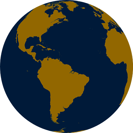
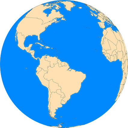
Location
Data source
Licence
Open Data Commons Open Database License 1.0
Similar

#34831🇸🇷 Suriname
#90247🇸🇷 Suriname

#171813🇸🇷 Suriname

#210731🇸🇷 Suriname
#320212🇸🇷 Suriname
#404831🇸🇷 Suriname
#443152🇸🇷 Suriname
#557160🇸🇷 Suriname