
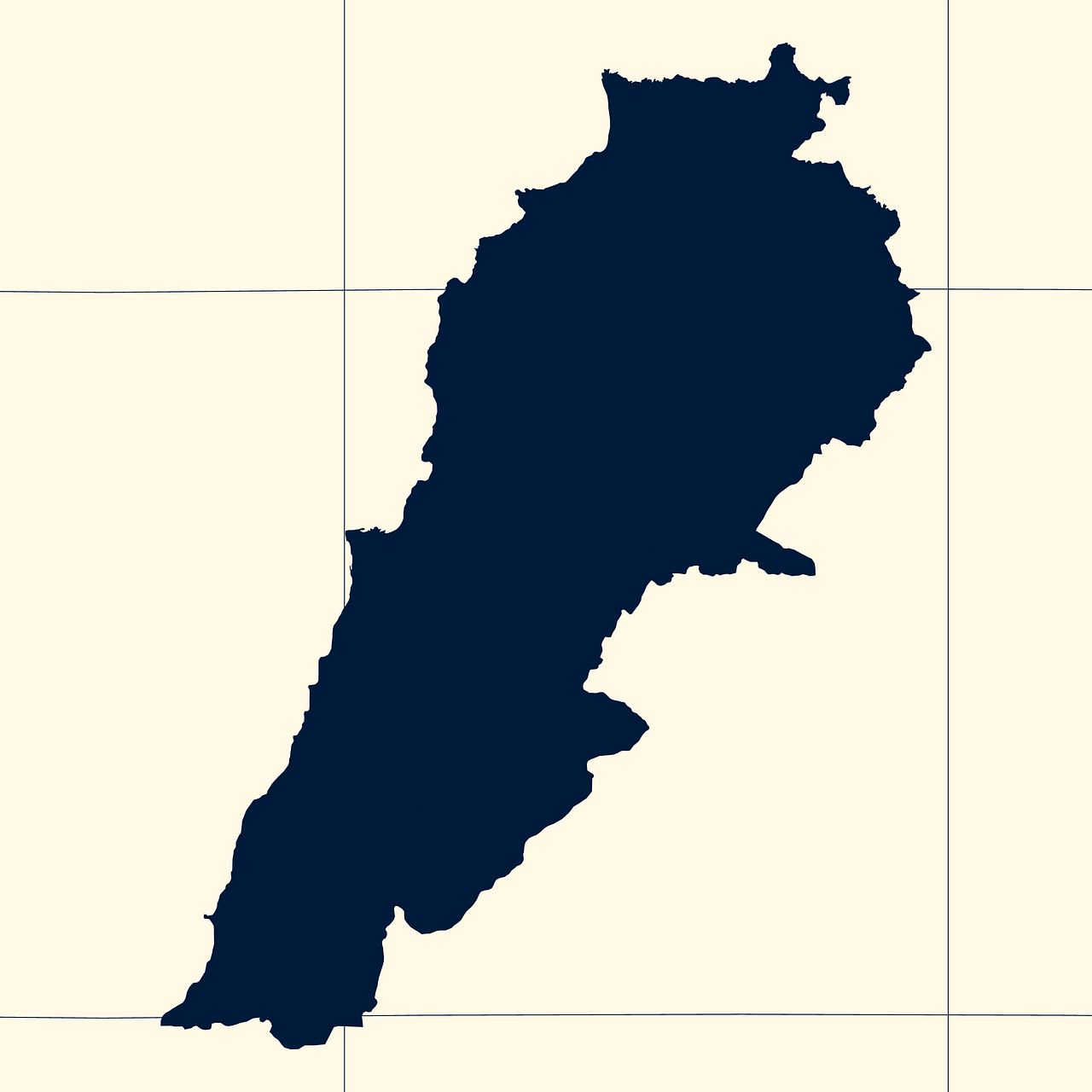
Map #199241
Download map
PNG format
Full (2560x2560)
SVG format
Scalable vector (any size)
Licence
 Licenced under a Creative Commons Attribution 4.0 International Licence
Free to copy and distribute.
Free for commercial and non-commercial use, but you must credit.
Attribution example:
Image source: SuperMap.World
Unlock this map
Access high definition downloads and full-use licence (no attribution required).
Description
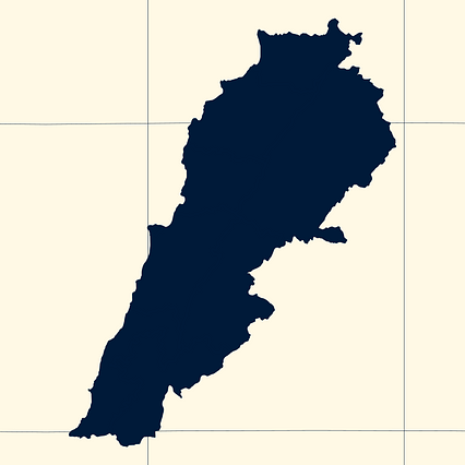
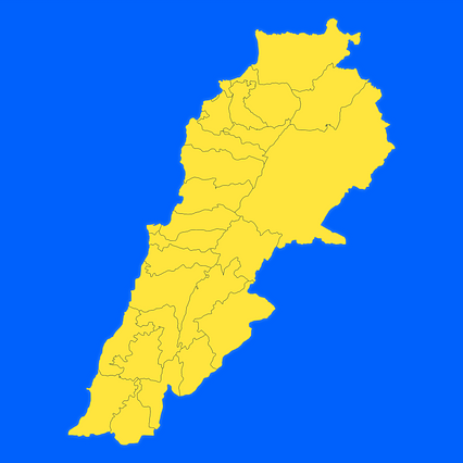
Mercator projection map of Lebanon showing districts (aqdya) boundaries in night blue and whitened-beige
Projection
Location
Data source
Similar
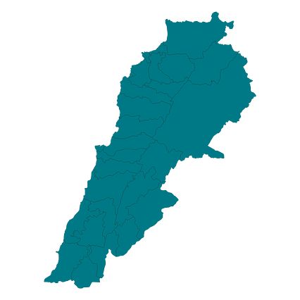
#118343🇱🇧 Lebanon
#298102🇱🇧 Lebanon
#340048🇱🇧 Lebanon
#362256🇱🇧 Lebanon
#537846🇱🇧 Lebanon
#618227🇱🇧 Lebanon
#622982🇱🇧 Lebanon
#823480🇱🇧 Lebanon