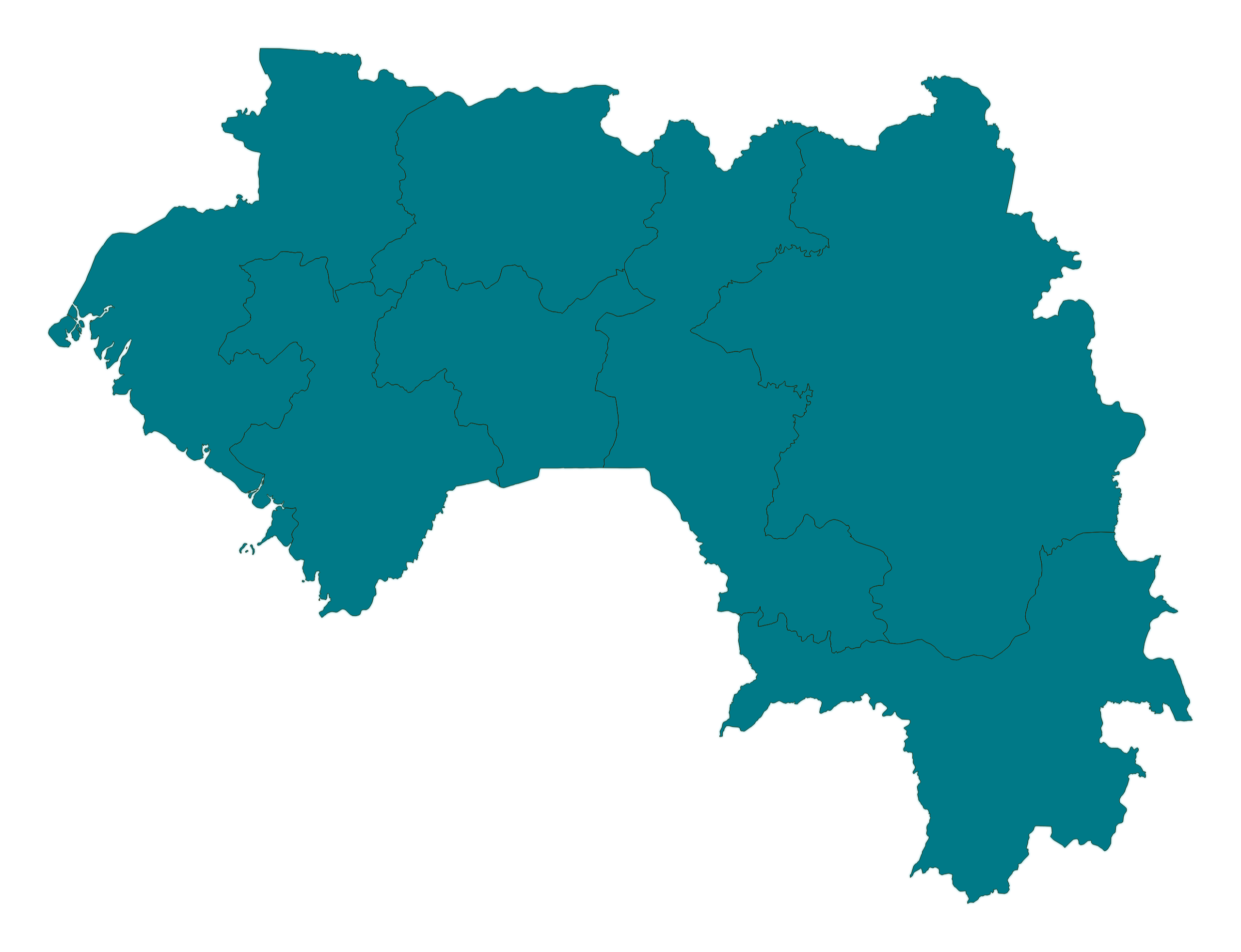
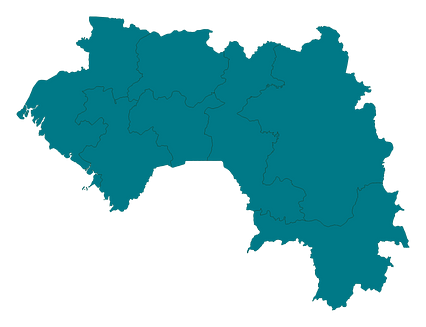
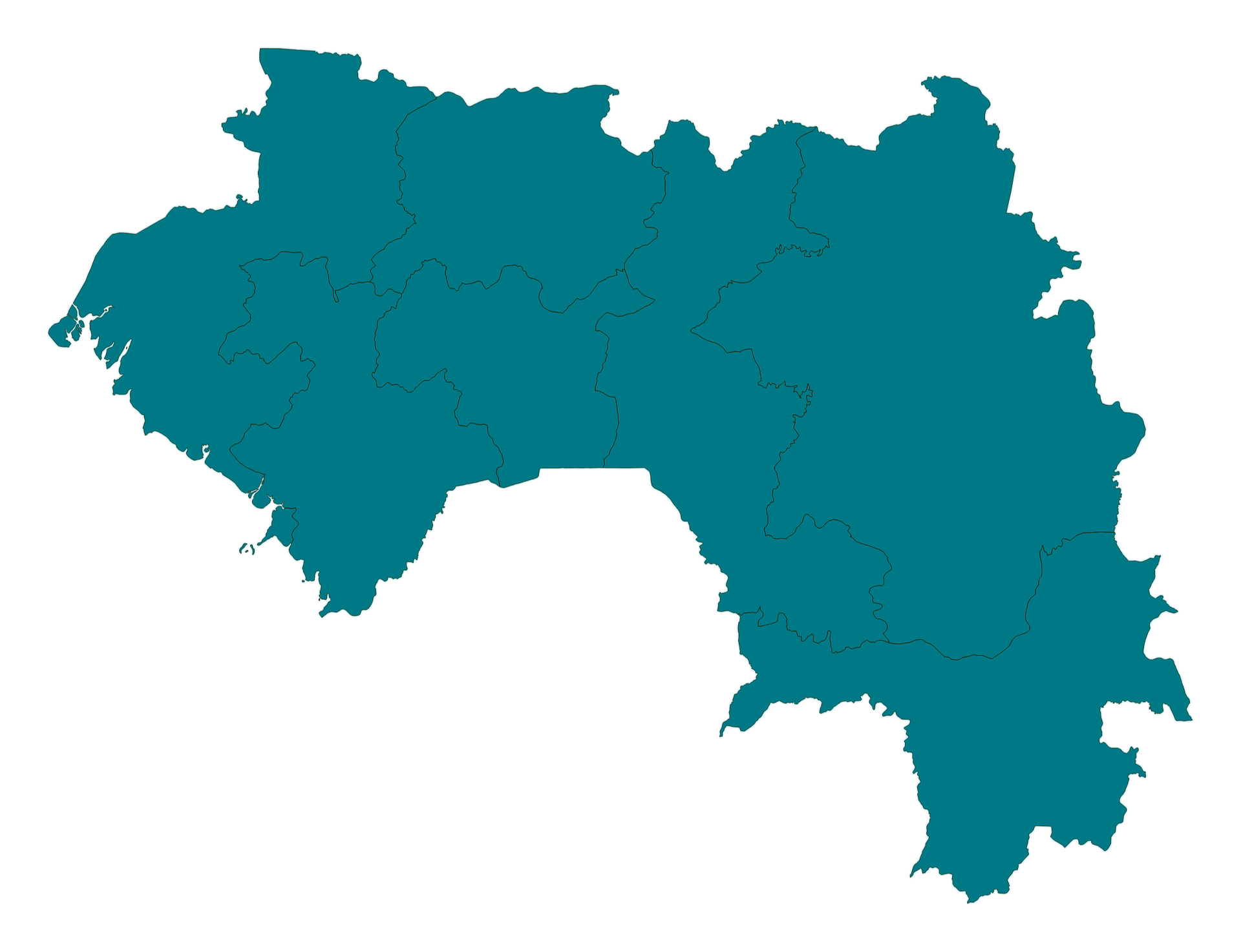
Map #202913
Download map
PNG format
Full (2560x1965)
SVG format
Scalable vector (any size)
Licence
 Licenced under a Creative Commons Attribution 4.0 International Licence
Free to copy and distribute.
Free for commercial and non-commercial use, but you must credit.
Attribution example:
Image source: SuperMap.World
Unlock this map
Access high definition downloads and full-use licence (no attribution required).
Description
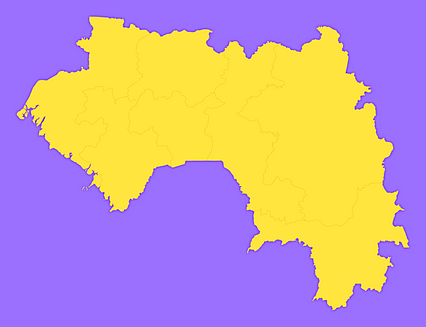
Mercator projection map of Guinea in dim powder on transparent background
Projection
Location
Data source
Similar

#32369🇬🇼 Guinea-Bissau

#155006🇬🇳 Guinea

#185436🇬🇳 Guinea

#252408🇬🇳 Guinea

#327646🇬🇳 Guinea

#383858🇬🇼 Guinea-Bissau
#445261🇬🇳 Guinea

#451880🇬🇼 Guinea-Bissau