Map #214834
Download map
PNG format
Full (1774x2560)
SVG format
Scalable vector (any size)
Licence
 Licenced under a Creative Commons Attribution 4.0 International Licence
Free to copy and distribute.
Free for commercial and non-commercial use, but you must credit.
Attribution example:
Image source: SuperMap.World
Unlock this map
Access high definition downloads and full-use licence (no attribution required).
Description
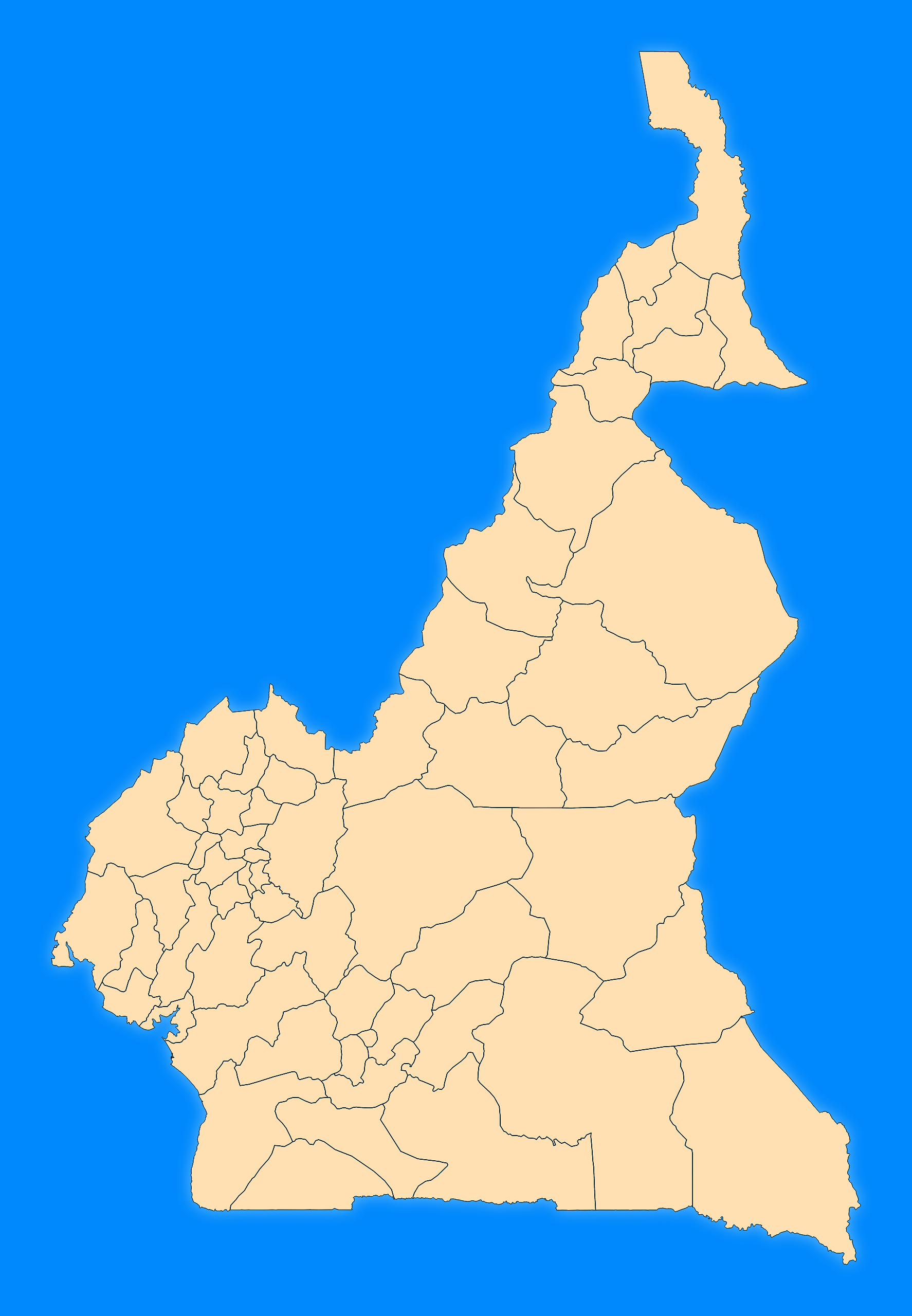
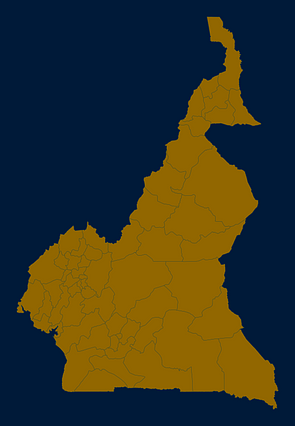
Mercator projection map of Cameroon showing department boundaries in blue and pastel amber
Projection
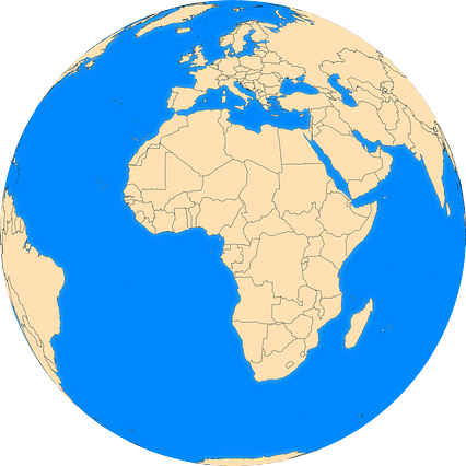
Location
Data source
Similar

#4752🇨🇲 Cameroon

#240559🇨🇲 Cameroon

#253073🇨🇲 Cameroon
#296426🇨🇲 Cameroon
#551881🇨🇲 Cameroon
#559781🇨🇲 Cameroon
#573807🇨🇲 Cameroon

#878965🇨🇲 Cameroon