
Map #22136
Download map
PNG format
Full (2560x2560)
SVG format
Scalable vector (any size)
Licence
Licenced under a Open Data Commons Open Database License 1.0
- Free to copy and distribute
- Free for commercial and non-commercial use, but you must credit (Image: SuperMap.World, Data: geoBoundaries, OpenStreetMap, Wambacher)
- Share-alike: if you publicly use any adapted version you must also offer that adapted work under the same licence
Unlock this map
Access high definition downloads and full-use licence (no attribution required).
Description
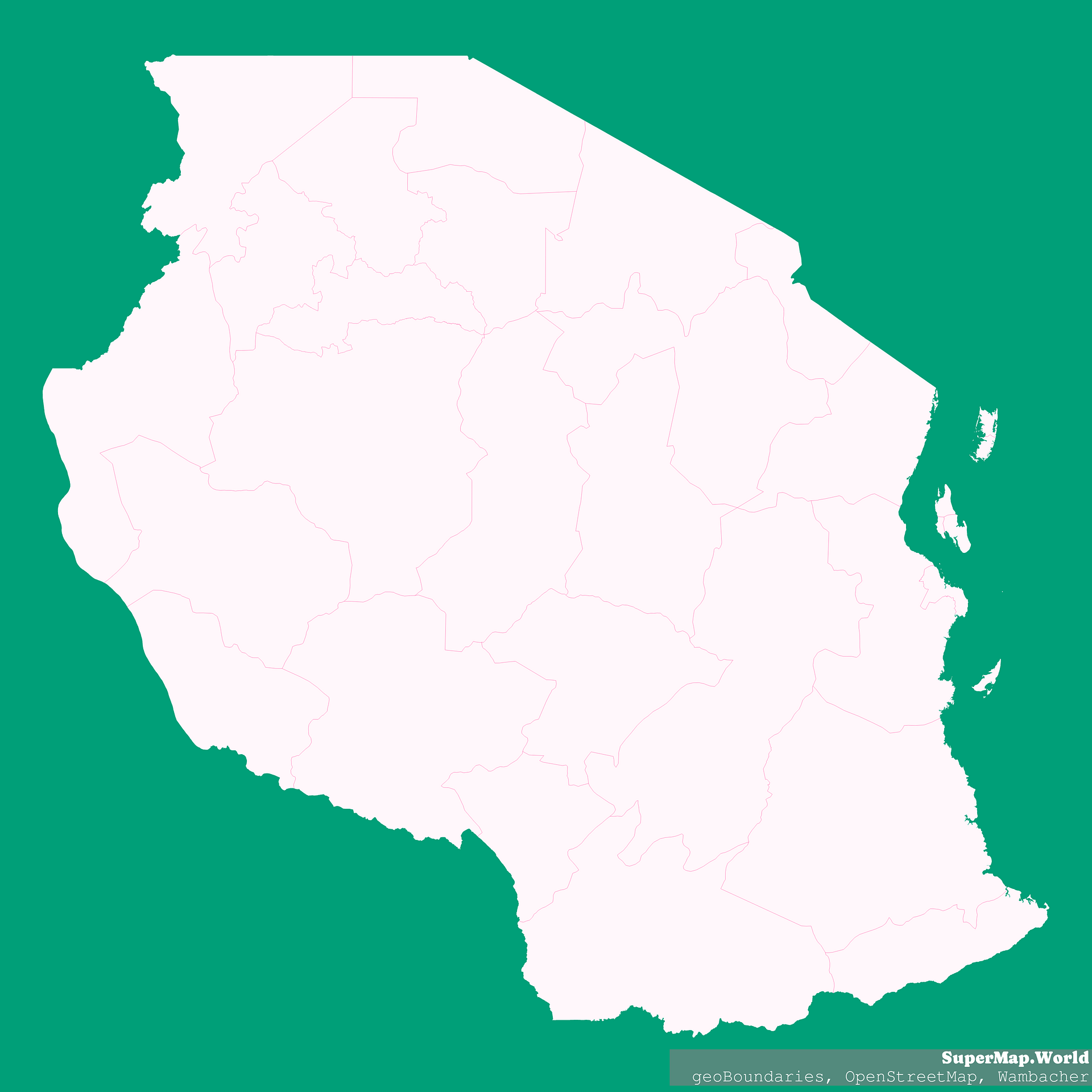
Mercator projection map of United Republic of Tanzania showing regions boundaries in whitened-pink and aquamarine
Projection
Location
Data source
Licence
Open Data Commons Open Database License 1.0
Similar

#5035🇹🇿 Tanzania

#19648🇹🇿 Tanzania

#74297🇹🇿 Tanzania

#85377🇹🇿 Tanzania

#221428🇹🇿 Tanzania

#676258🇹🇿 Tanzania

#942529🇹🇿 Tanzania