
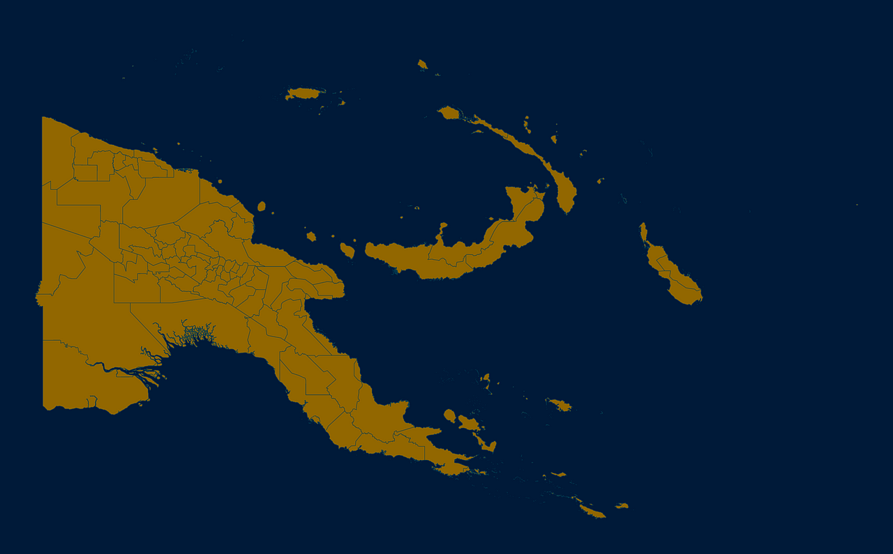
Map #23051
Download map
PNG format
Full (2560x1590)
SVG format
Scalable vector (any size)
Licence
 Licenced under a Creative Commons Attribution 4.0 International Licence
Free to copy and distribute.
Free for commercial and non-commercial use, but you must credit.
Attribution example:
Image source: SuperMap.World
Unlock this map
Access high definition downloads and full-use licence (no attribution required).
Description
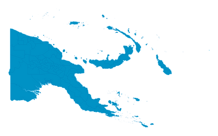
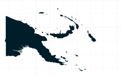
Mercator projection map of Papua New Guinea in night blue and dim amber
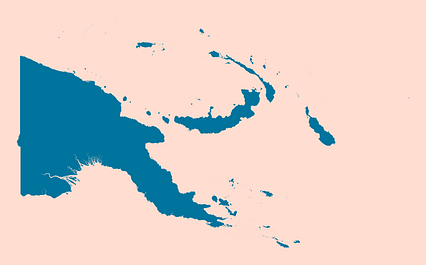
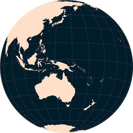
Projection
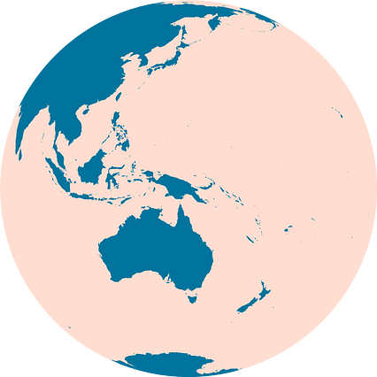
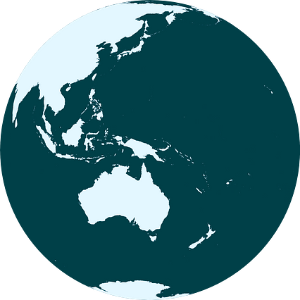
Location
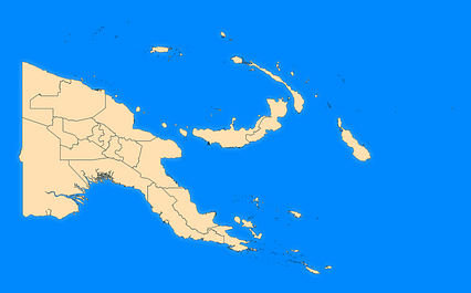
Similar
#5555🇵🇬 Papua New Guinea

#124810🇵🇬 Papua New Guinea
#310810🇵🇬 Papua New Guinea
#366511🇵🇬 Papua New Guinea
#397362🇵🇬 Papua New Guinea
#467116🇵🇬 Papua New Guinea
#468988🇵🇬 Papua New Guinea
#526138🇵🇬 Papua New Guinea