
Map #232758
Download map
PNG format
Full (2560x2560)
SVG format
Scalable vector (any size)
Licence
 Licenced under a Creative Commons Attribution 4.0 International Licence
Free to copy and distribute.
Free for commercial and non-commercial use, but you must credit.
Attribution example:
Image source: SuperMap.World
Unlock this map
Access high definition downloads and full-use licence (no attribution required).
Description
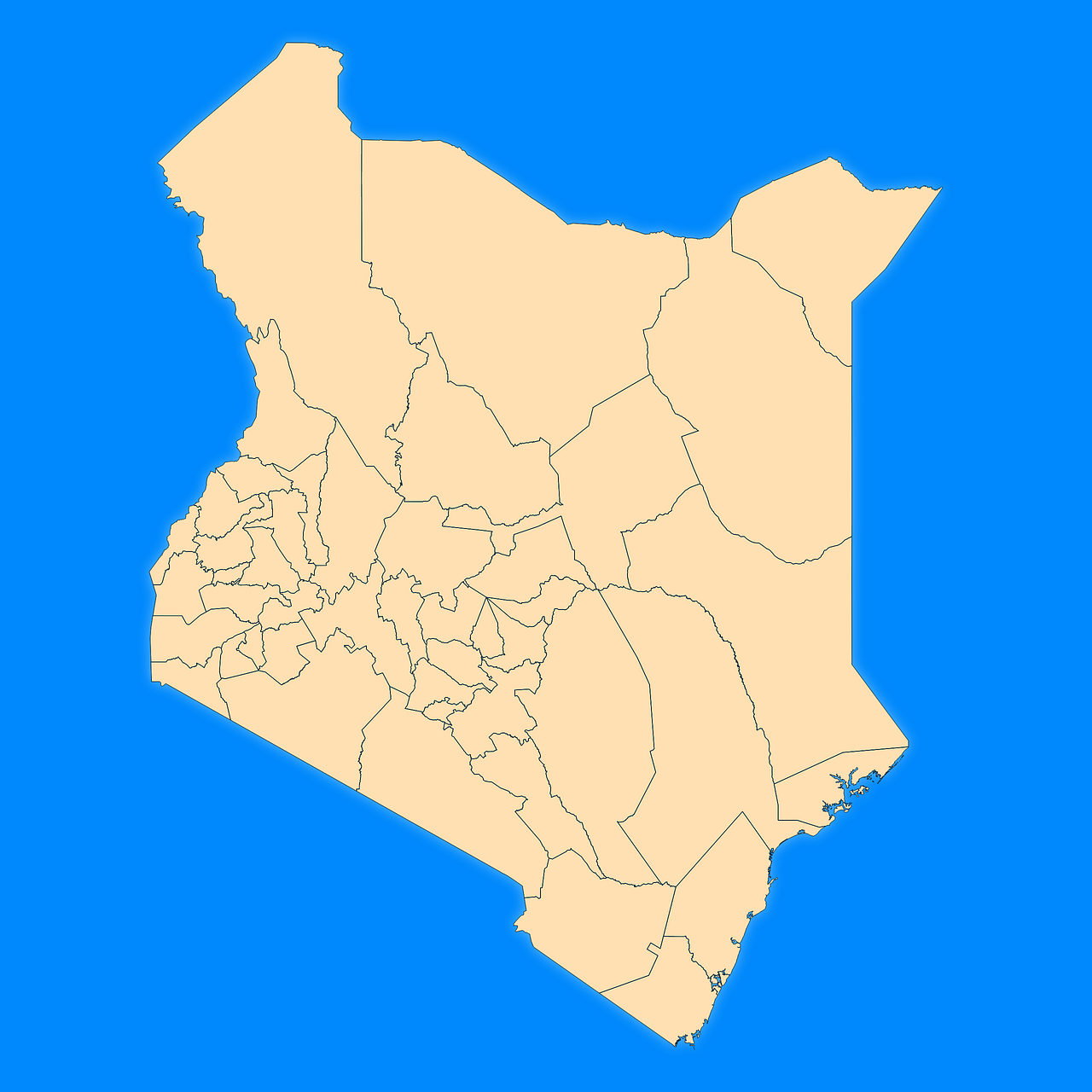
Mercator projection map of Kenya showing counties boundaries in blue and pastel amber
Projection
Location
Data source
Similar

#110390🇰🇪 Kenya

#191326🇰🇪 Kenya

#214938🇰🇪 Kenya

#227776🇰🇪 Kenya

#500635🇰🇪 Kenya

#603062🇰🇪 Kenya

#636001🇰🇪 Kenya

#698505🇰🇪 Kenya