
Map #2378
Download map
PNG format
Full (2560x2560)
SVG format
Scalable vector (any size)
Licence
Licenced under a Open Data Commons Open Database License 1.0
- Free to copy and distribute
- Free for commercial and non-commercial use, but you must credit (Image: SuperMap.World, Data: geoBoundaries, OpenStreetMap, Wambacher)
- Share-alike: if you publicly use any adapted version you must also offer that adapted work under the same licence
Unlock this map
Access high definition downloads and full-use licence (no attribution required).
Description
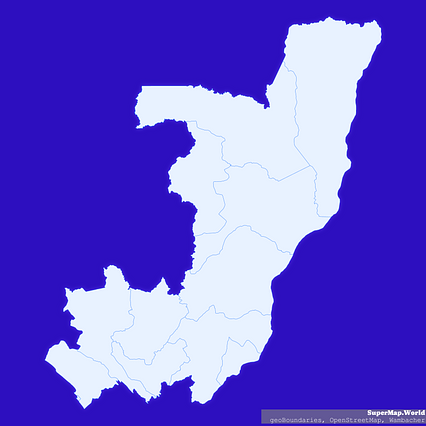
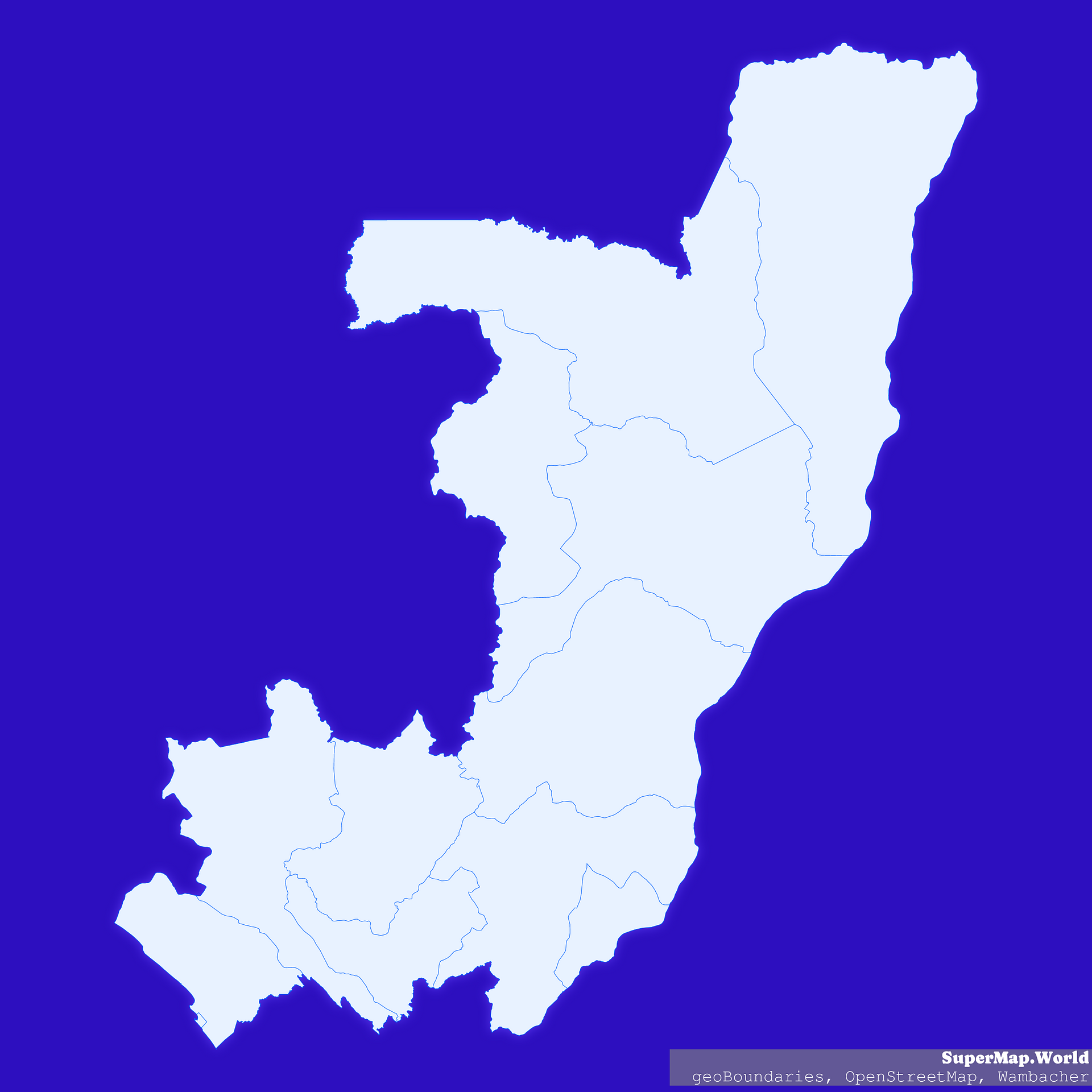
Mercator projection map of Congo showing départements boundaries in whitened-azure and dim indigo
Projection
Location
Data source
Licence
Open Data Commons Open Database License 1.0
Similar

#7009🇨🇬 Congo

#11115🇨🇩 Congo (Dem. Rep.)

#64299🇨🇩 Congo (Dem. Rep.)

#78787🇨🇩 Congo (Dem. Rep.)

#125128🇨🇬 Congo

#143398🇨🇩 Congo (Dem. Rep.)

#159951🇨🇬 Congo

#297433🇨🇬 Congo