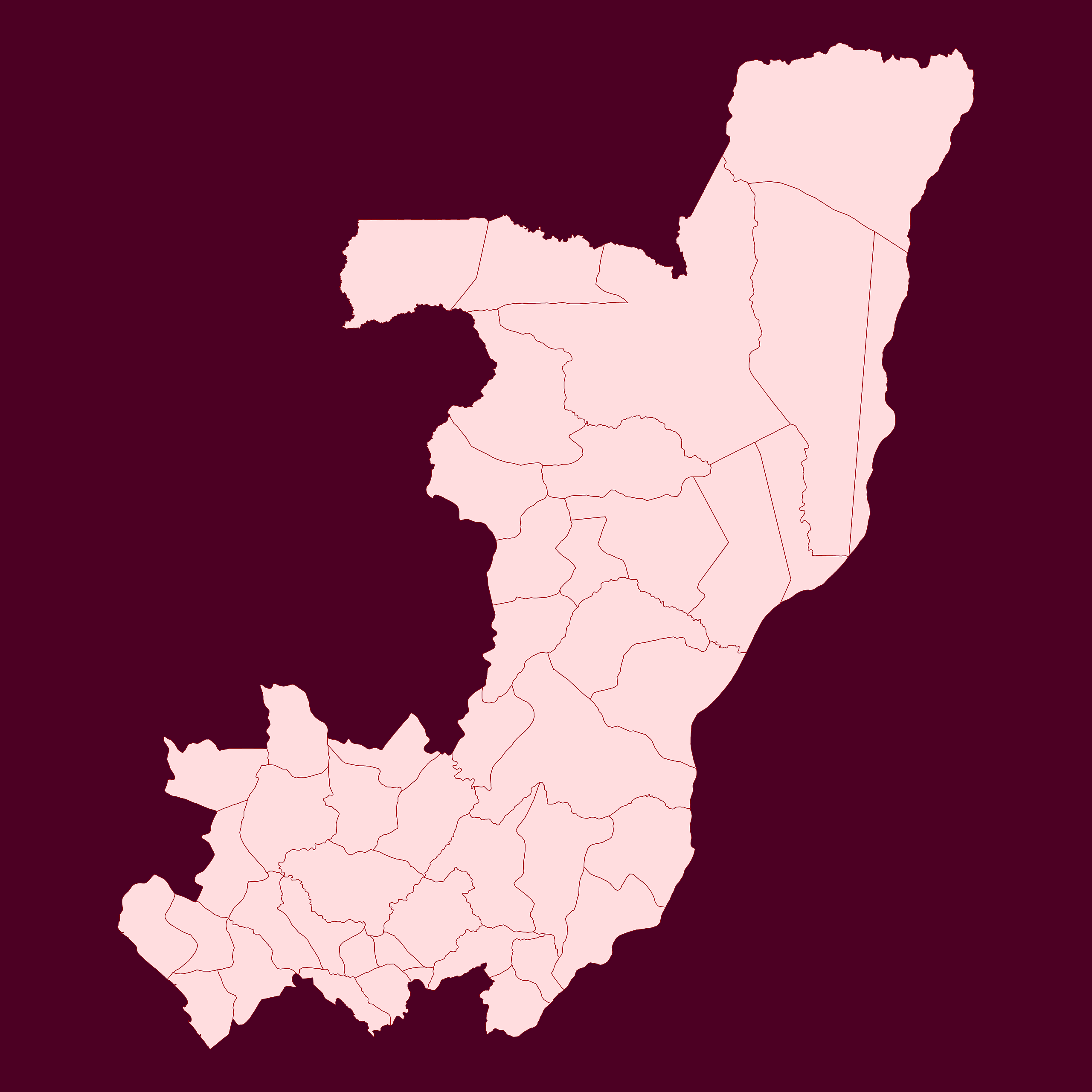
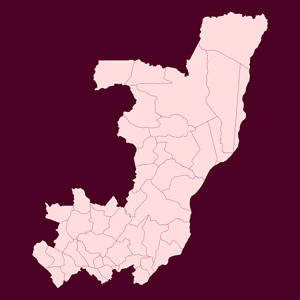
Map #239760
Download map
PNG format
Full (2560x2560)
SVG format
Scalable vector (any size)
Licence
 Licenced under a Creative Commons Attribution 4.0 International Licence
Free to copy and distribute.
Free for commercial and non-commercial use, but you must credit.
Attribution example:
Image source: SuperMap.World
Unlock this map
Access high definition downloads and full-use licence (no attribution required).
Description
Mercator projection map of Congo showing boundaries in dark red and night rose
Projection
Location
Similar

#3003🇨🇬 Congo

#49793🇨🇩 Congo (Dem. Rep.)

#232385🇨🇩 Congo (Dem. Rep.)
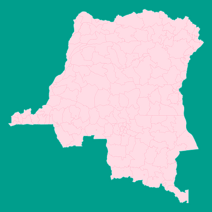
#244773🇨🇩 Congo (Dem. Rep.)

#247027🇨🇬 Congo

#294237🇨🇩 Congo (Dem. Rep.)

#295342🇨🇬 Congo

#296443🇨🇬 Congo