Map #239775
Download map
PNG format
Full (2560x2560)
SVG format
Scalable vector (any size)
Licence
 Licenced under a Creative Commons Attribution 4.0 International Licence
Free to copy and distribute.
Free for commercial and non-commercial use, but you must credit.
Attribution example:
Image source: SuperMap.World
Unlock this map
Access high definition downloads and full-use licence (no attribution required).
Description
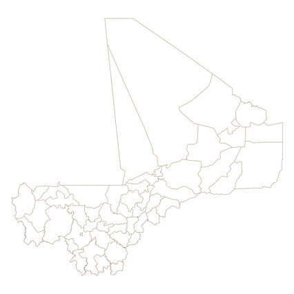
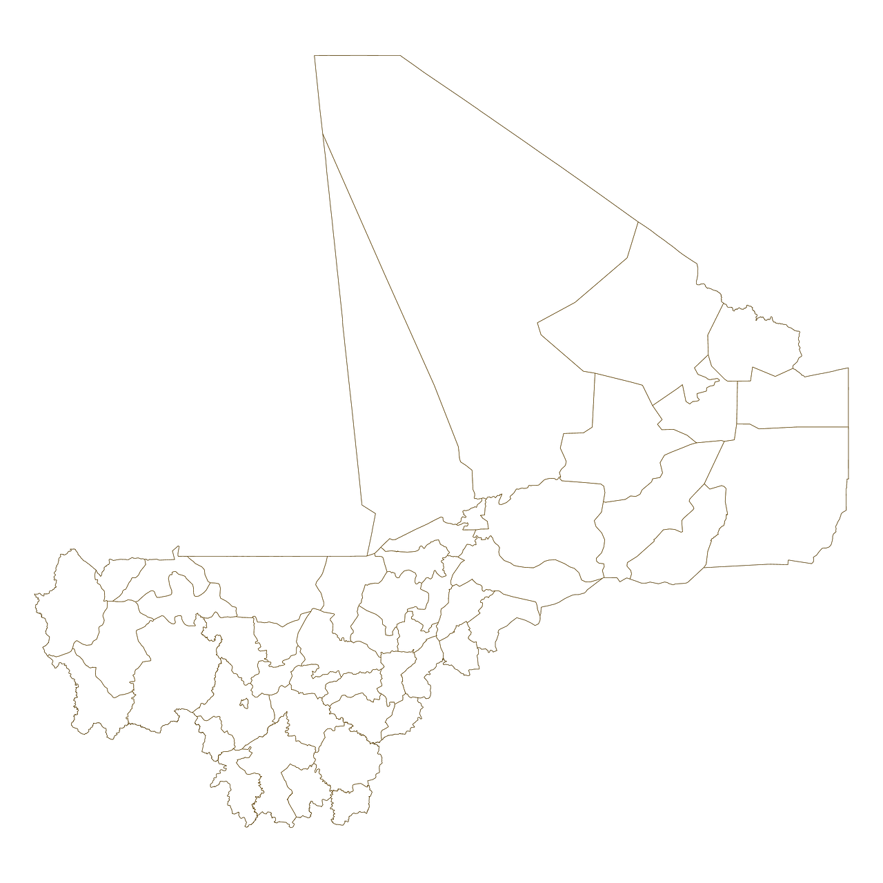
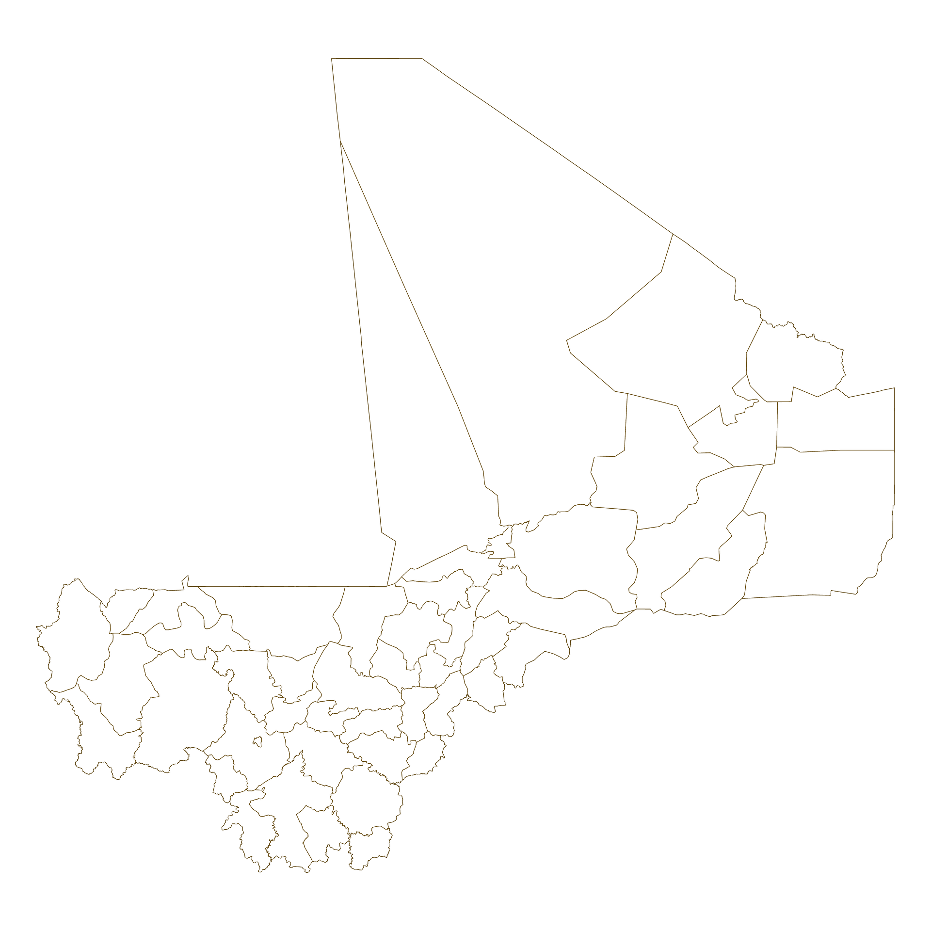
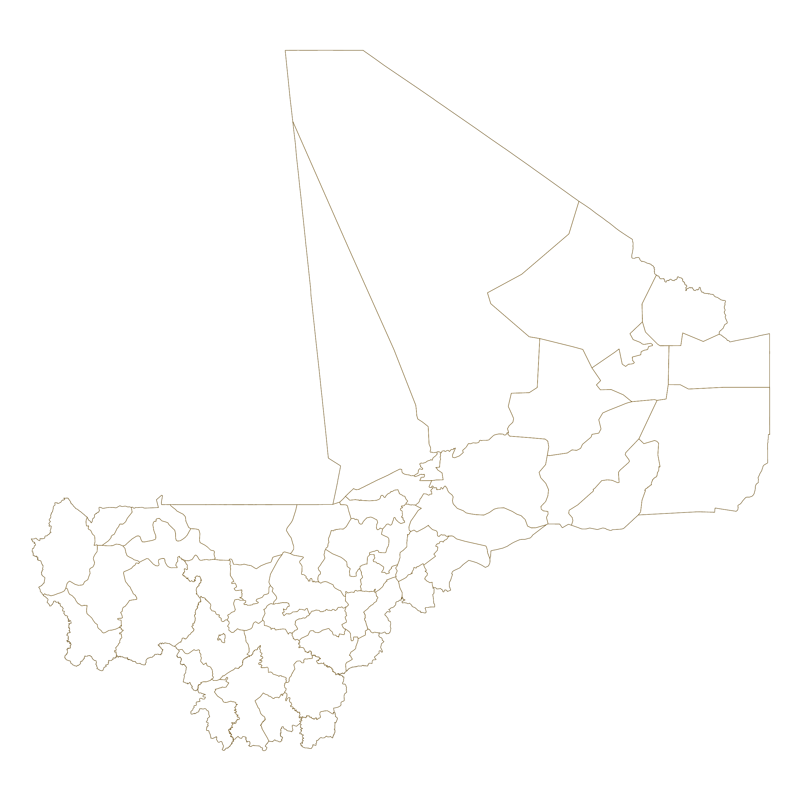
Mercator projection map of Mali showing cercle boundaries in dark amber on transparent background
Projection
Location
Similar

#24332🇲🇱 Mali

#85726🇲🇱 Mali

#165391🇲🇱 Mali

#185238🇲🇱 Mali

#231317🇲🇱 Mali

#545736🇲🇱 Mali

#583926🇲🇱 Mali

#666635🇲🇱 Mali