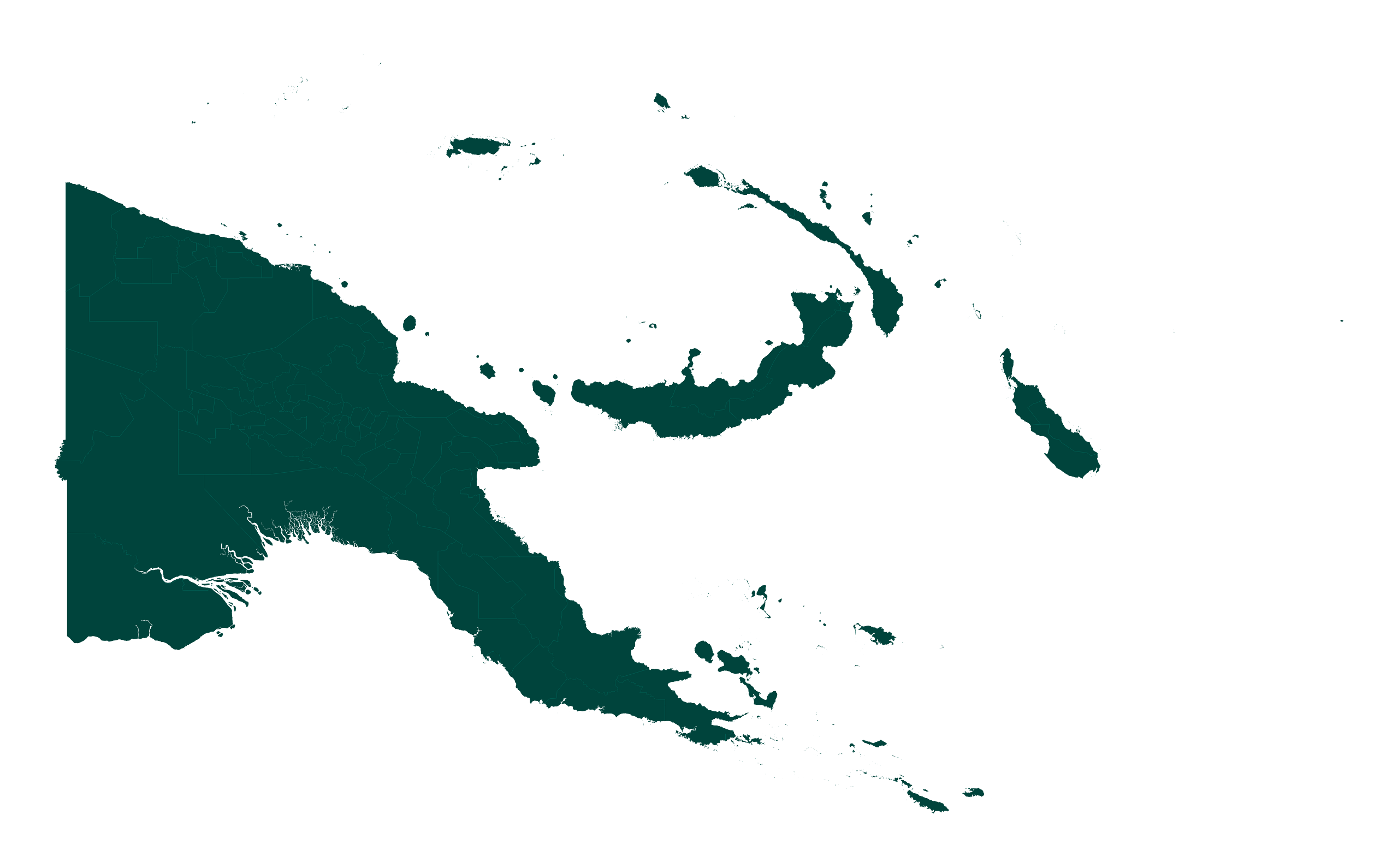
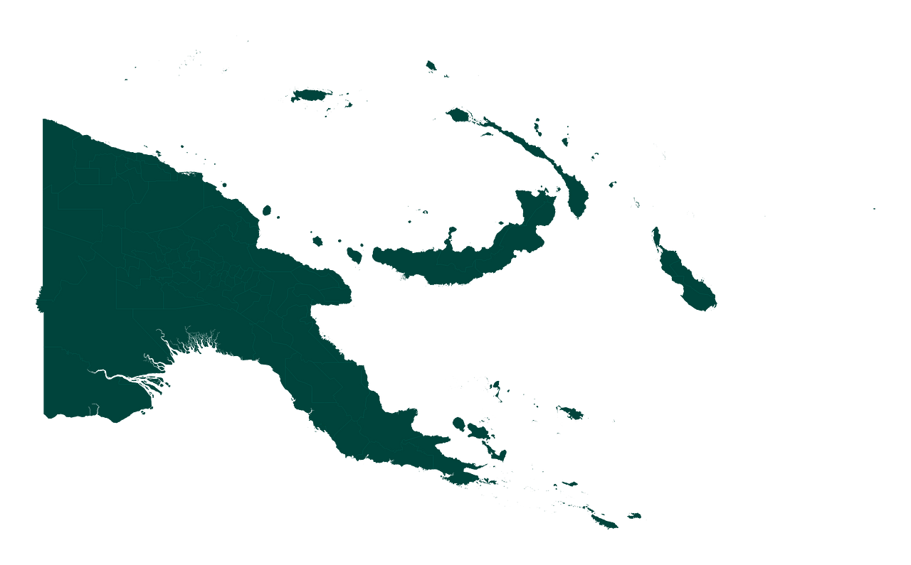
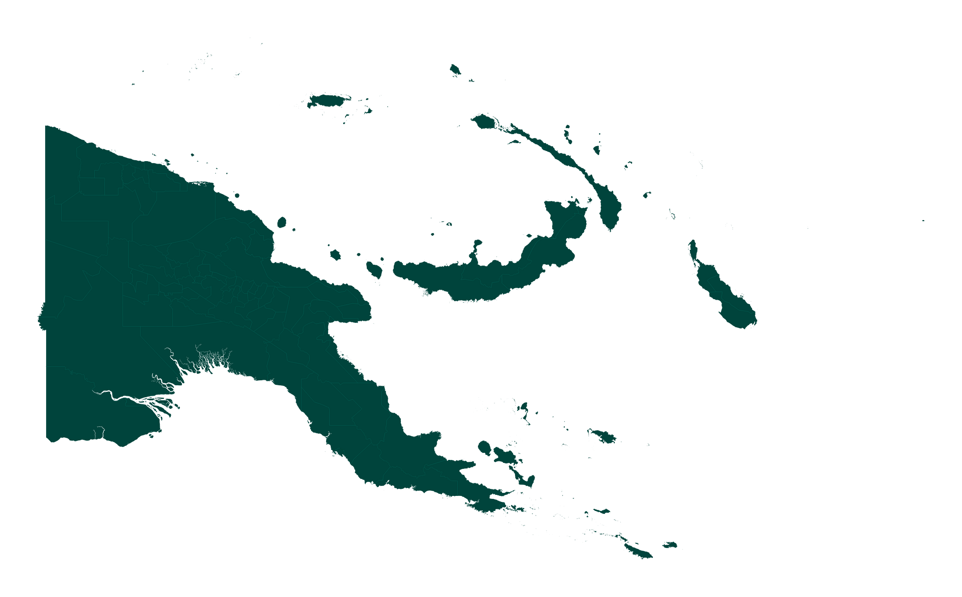
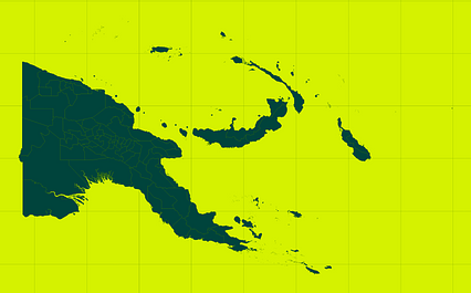
Map #264251
Download map
PNG format
Full (2560x1590)
SVG format
Scalable vector (any size)
Licence
 Licenced under a Creative Commons Attribution 4.0 International Licence
Free to copy and distribute.
Free for commercial and non-commercial use, but you must credit.
Attribution example:
Image source: SuperMap.World
Unlock this map
Access high definition downloads and full-use licence (no attribution required).
Description
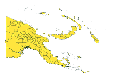
Mercator projection map of Papua New Guinea showing district boundaries in dark teal on transparent background
Projection
Location
Similar
#140274🇵🇬 Papua New Guinea
#144751🇵🇬 Papua New Guinea
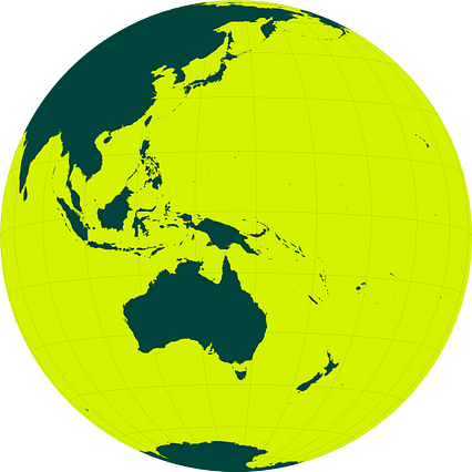
#207241🇵🇬 Papua New Guinea
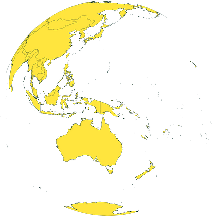
#433306🇵🇬 Papua New Guinea

#505669🇵🇬 Papua New Guinea

#613963🇵🇬 Papua New Guinea
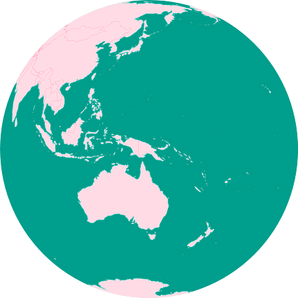
#689864🇵🇬 Papua New Guinea
#725911🇵🇬 Papua New Guinea