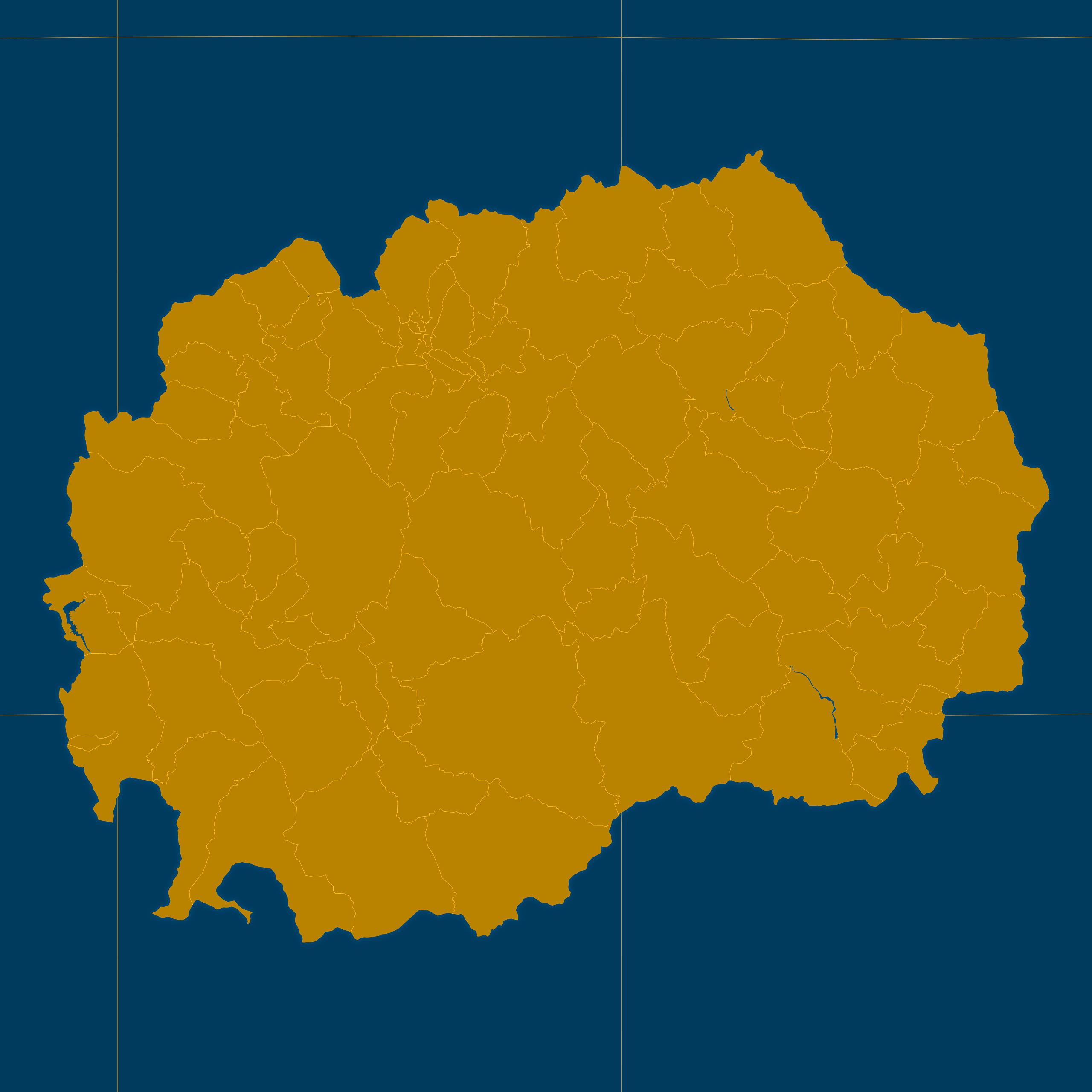
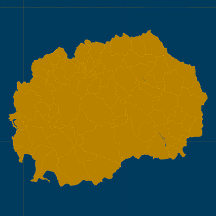
Map #268565
Download map
PNG format
Full (2560x2560)
SVG format
Scalable vector (any size)
Licence
 Licenced under a Creative Commons Attribution 4.0 International Licence
Free to copy and distribute.
Free for commercial and non-commercial use, but you must credit.
Attribution example:
Image source: SuperMap.World
Unlock this map
Access high definition downloads and full-use licence (no attribution required).
Description
Mercator projection map of North Macedonia showing opštini boundaries in amber and dark azure
Projection
Location
Similar

#30503🇲🇰 Macedonia

#117786🇲🇰 Macedonia

#172990🇲🇰 Macedonia

#300790🇲🇰 Macedonia

#305595🇲🇰 Macedonia

#548019🇲🇰 Macedonia

#803972🇲🇰 Macedonia

#975416🇲🇰 Macedonia