
Map #274468
Download map
PNG format
Full (2560x2560)
SVG format
Scalable vector (any size)
Licence
 Licenced under a Creative Commons Attribution 4.0 International Licence
Free to copy and distribute.
Free for commercial and non-commercial use, but you must credit.
Attribution example:
Image source: SuperMap.World
Unlock this map
Access high definition downloads and full-use licence (no attribution required).
Description
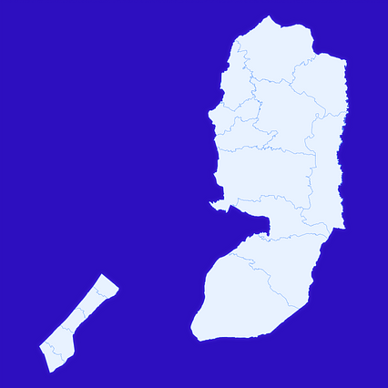
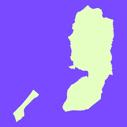
Mercator projection map of State of Palestine showing governorate boundaries in whitened-azure and dim indigo
Projection
Location
Data source
Similar
#10131🇵🇸 Palestine

#86509🇵🇸 Palestine

#217465🇵🇸 Palestine

#289531🇵🇸 Palestine

#349332🇵🇸 Palestine

#635900🇵🇸 Palestine

#935979🇵🇸 Palestine

#974846🇵🇸 Palestine