Map #275128
Download map
PNG format
Full (2560x2560)
SVG format
Scalable vector (any size)
Licence
 Licenced under a Creative Commons Attribution 4.0 International Licence
Free to copy and distribute.
Free for commercial and non-commercial use, but you must credit.
Attribution example:
Image source: SuperMap.World
Unlock this map
Access high definition downloads and full-use licence (no attribution required).
Description
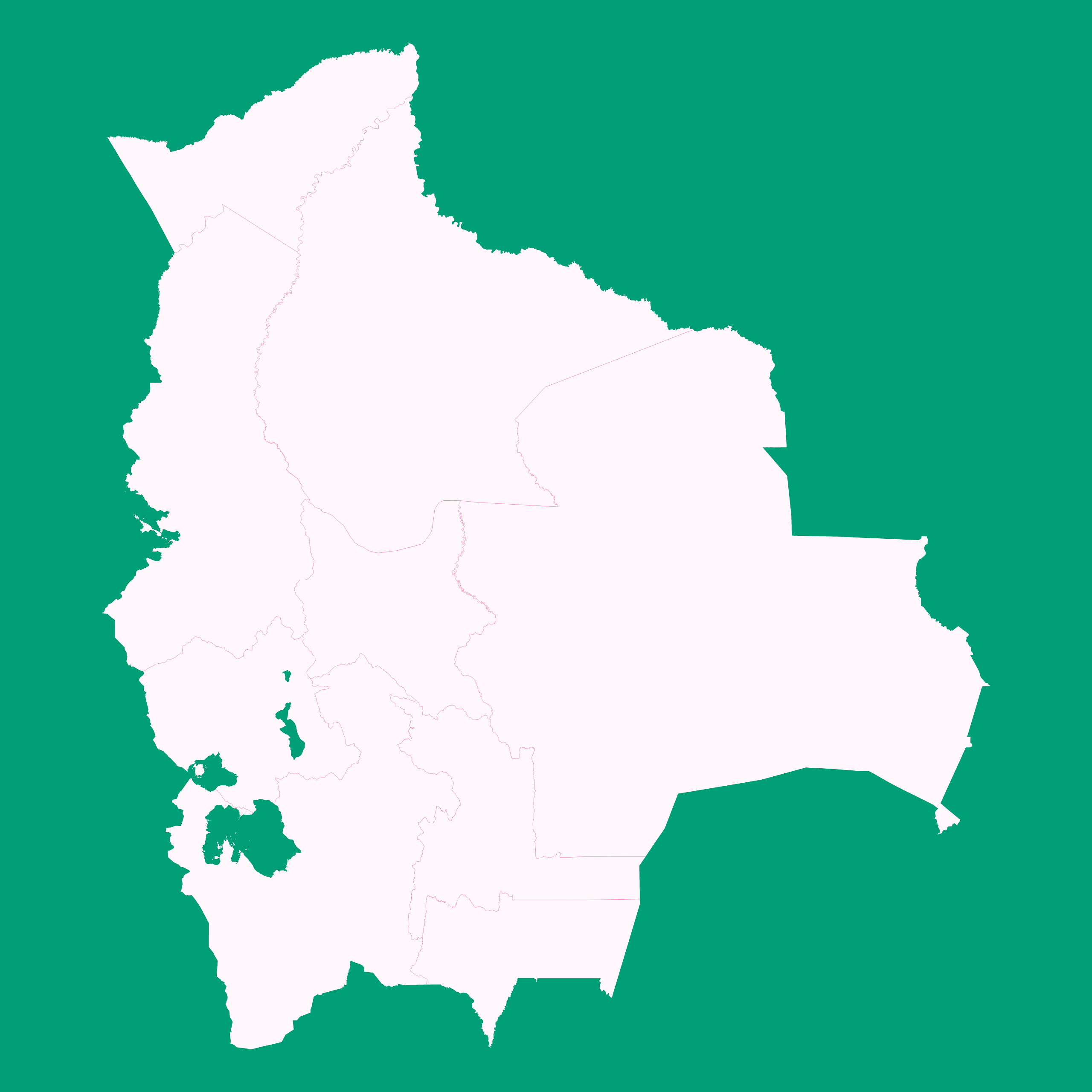
Mercator projection map of Bolivia (Plurinational State of) showing boundaries in whitened-pink and aquamarine
Projection
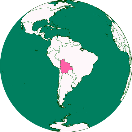
Location
Similar

#78005🇧🇴 Bolivia

#258661🇧🇴 Bolivia

#330546🇧🇴 Bolivia
#362160🇧🇴 Bolivia

#378786🇧🇴 Bolivia

#379016🇧🇴 Bolivia

#387667🇧🇴 Bolivia

#391675🇧🇴 Bolivia