
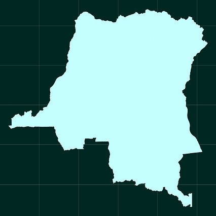
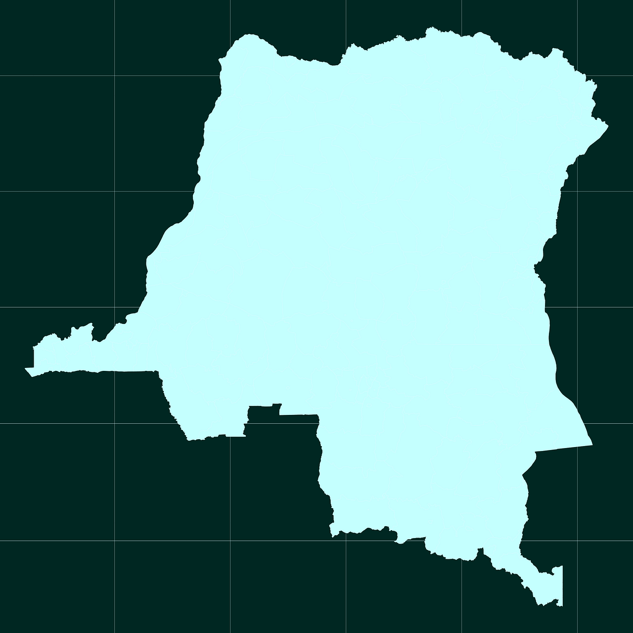
Map #27641
Download map
PNG format
Full (2560x2560)
SVG format
Scalable vector (any size)
Licence
 Licenced under a Creative Commons Attribution 4.0 International Licence
Free to copy and distribute.
Free for commercial and non-commercial use, but you must credit.
Attribution example:
Image source: SuperMap.World
Unlock this map
Access high definition downloads and full-use licence (no attribution required).
Description
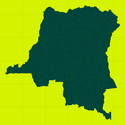
Mercator projection map of Democratic Republic of the Congo in whitened-cyan and night teal
Projection
Location
Similar

#33595🇨🇩 Congo (Dem. Rep.)

#232385🇨🇩 Congo (Dem. Rep.)

#236499🇨🇩 Congo (Dem. Rep.)
#244773🇨🇩 Congo (Dem. Rep.)

#294237🇨🇩 Congo (Dem. Rep.)
#316800🇨🇩 Congo (Dem. Rep.)

#513968🇨🇩 Congo (Dem. Rep.)
#518586🇨🇩 Congo (Dem. Rep.)