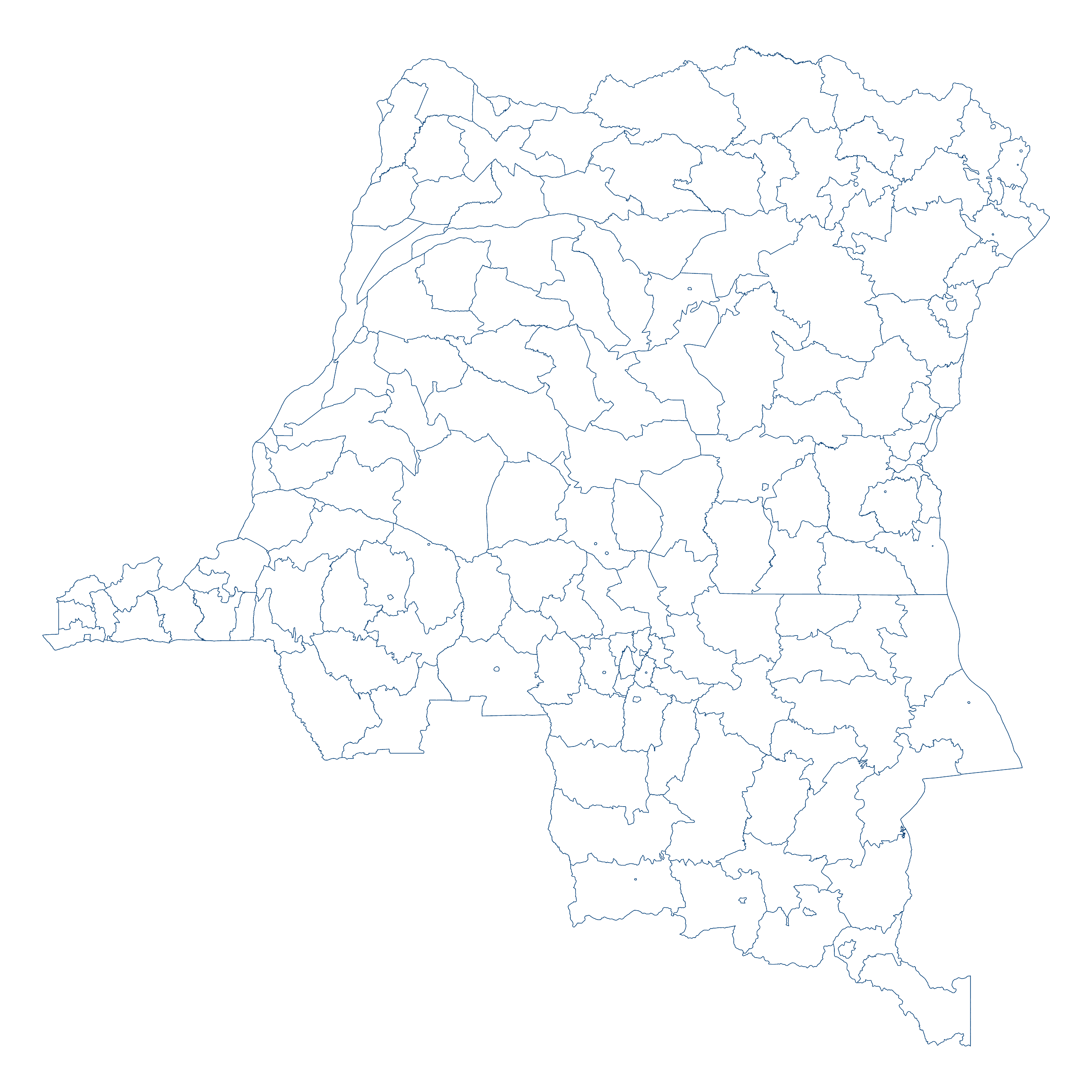
Map #279671

Description

Mercator projection map of Democratic Republic of the Congo in dark blue on transparent background

Colours

Projection

Mercator

Location

Congo (Dem. Rep.)

Data source

geoBoundaries, Referenciel GΓ©ographique Commun, OCHA DR Congo


Similar

Orthographic projection map of the World focused on Congo (Dem. Rep.) in blue and pastel amber

#37519πŸ‡¨πŸ‡© Congo (Dem. Rep.)

Mercator projection map of Democratic Republic of the Congo in blue and whitened-lime

#42824πŸ‡¨πŸ‡© Congo (Dem. Rep.)

Mercator projection map of Democratic Republic of the Congo showing provinces boundaries in blue and pastel amber

#79130πŸ‡¨πŸ‡© Congo (Dem. Rep.)

Orthographic projection map of the World focused on Congo (Dem. Rep.) in dark blue on transparent background

#133231πŸ‡¨πŸ‡© Congo (Dem. Rep.)

Mercator projection map of Democratic Republic of the Congo in dim blue and dark powder

#177982πŸ‡¨πŸ‡© Congo (Dem. Rep.)

Orthographic projection map of the World focused on Congo (Dem. Rep.) in night blue and dim amber

#178071πŸ‡¨πŸ‡© Congo (Dem. Rep.)

Mercator projection map of Democratic Republic of the Congo showing territory, city boundaries in blue and pastel amber

#212457πŸ‡¨πŸ‡© Congo (Dem. Rep.)

Mercator projection map of Democratic Republic of the Congo in night blue and dim amber

#238377πŸ‡¨πŸ‡© Congo (Dem. Rep.)