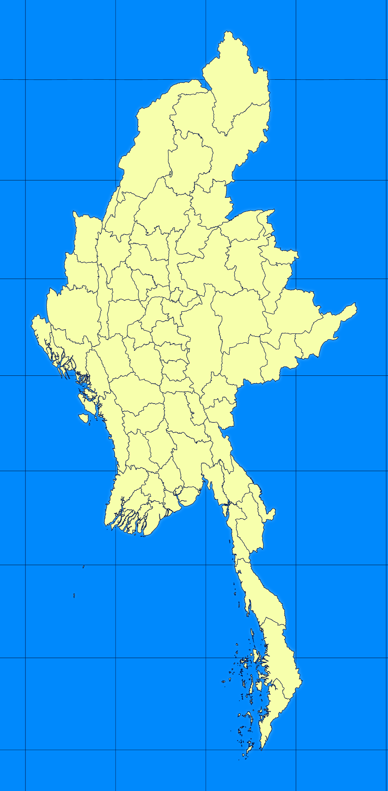
Map #286019
Download map
PNG format
Full (1257x2560)
SVG format
Scalable vector (any size)
Licence
 Licenced under a Creative Commons Attribution 4.0 International Licence
Free to copy and distribute.
Free for commercial and non-commercial use, but you must credit.
Attribution example:
Image source: SuperMap.World
Unlock this map
Access high definition downloads and full-use licence (no attribution required).
Description
Mercator projection map of Myanmar in blue and whitened-lime
Projection
Location
Similar

#82441🇲🇲 Myanmar (Burma)
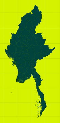
#349371🇲🇲 Myanmar (Burma)
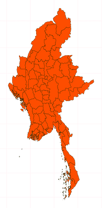
#448884🇲🇲 Myanmar (Burma)

#723149🇲🇲 Myanmar (Burma)

#805701🇲🇲 Myanmar (Burma)