Map #31856
Download map
PNG format
Full (2560x2560)
SVG format
Scalable vector (any size)
Licence
Licenced under a Open Data Commons Open Database License 1.0
- Free to copy and distribute
- Free for commercial and non-commercial use, but you must credit (Image: SuperMap.World, Data: geoBoundaries, OpenStreetMap, Wambacher)
- Share-alike: if you publicly use any adapted version you must also offer that adapted work under the same licence
Unlock this map
Access high definition downloads and full-use licence (no attribution required).
Description
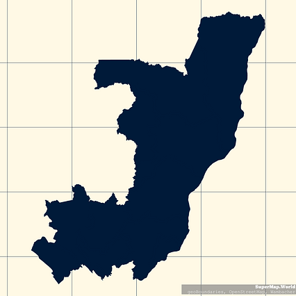
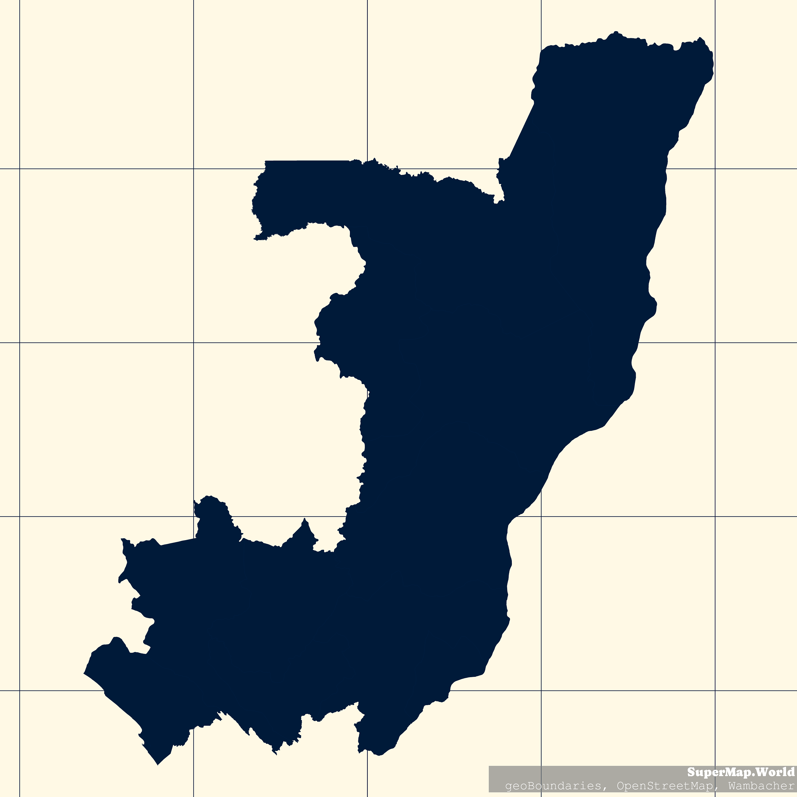
Mercator projection map of Congo showing départements boundaries in night blue and whitened-beige
Projection
Location
Data source
Licence
Open Data Commons Open Database License 1.0
Similar

#23040🇨🇬 Congo

#37519🇨🇩 Congo (Dem. Rep.)

#42824🇨🇩 Congo (Dem. Rep.)

#79130🇨🇩 Congo (Dem. Rep.)

#133231🇨🇩 Congo (Dem. Rep.)

#177982🇨🇩 Congo (Dem. Rep.)

#178071🇨🇩 Congo (Dem. Rep.)

#212457🇨🇩 Congo (Dem. Rep.)