
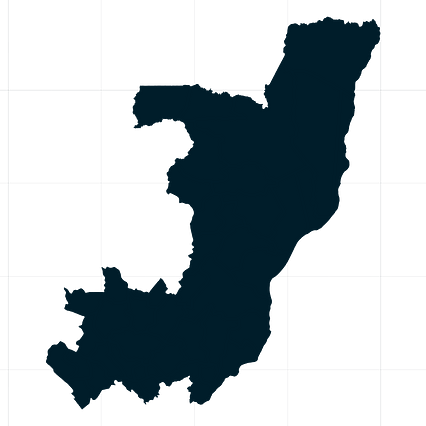
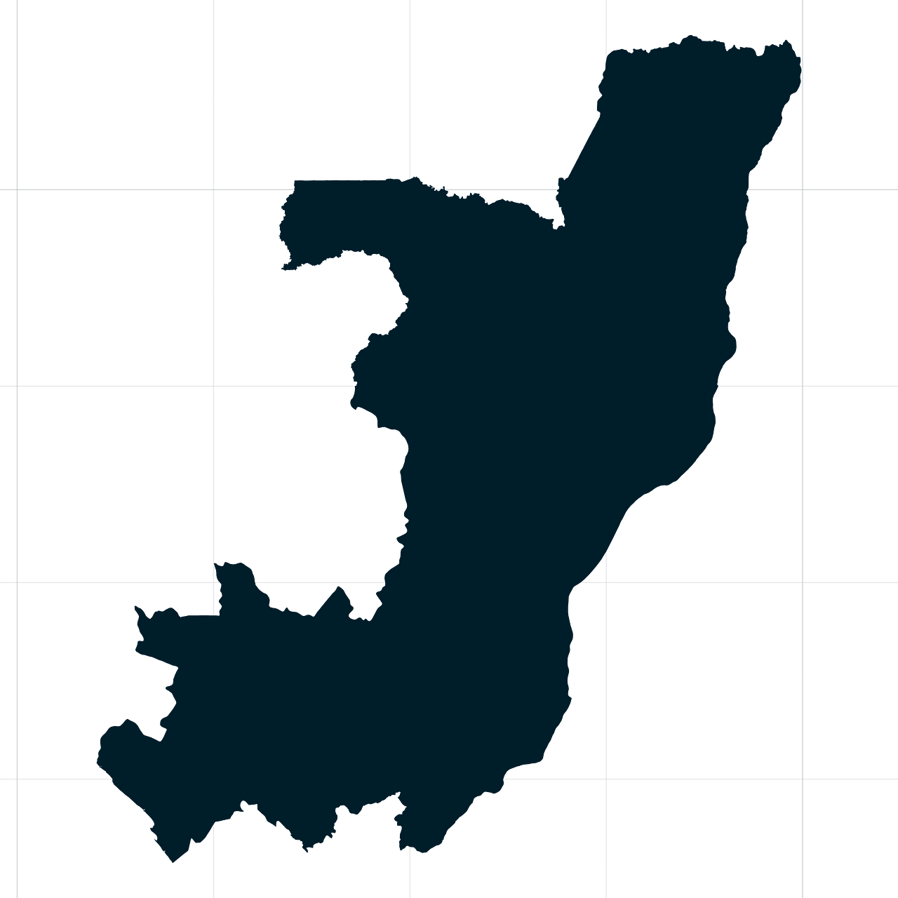
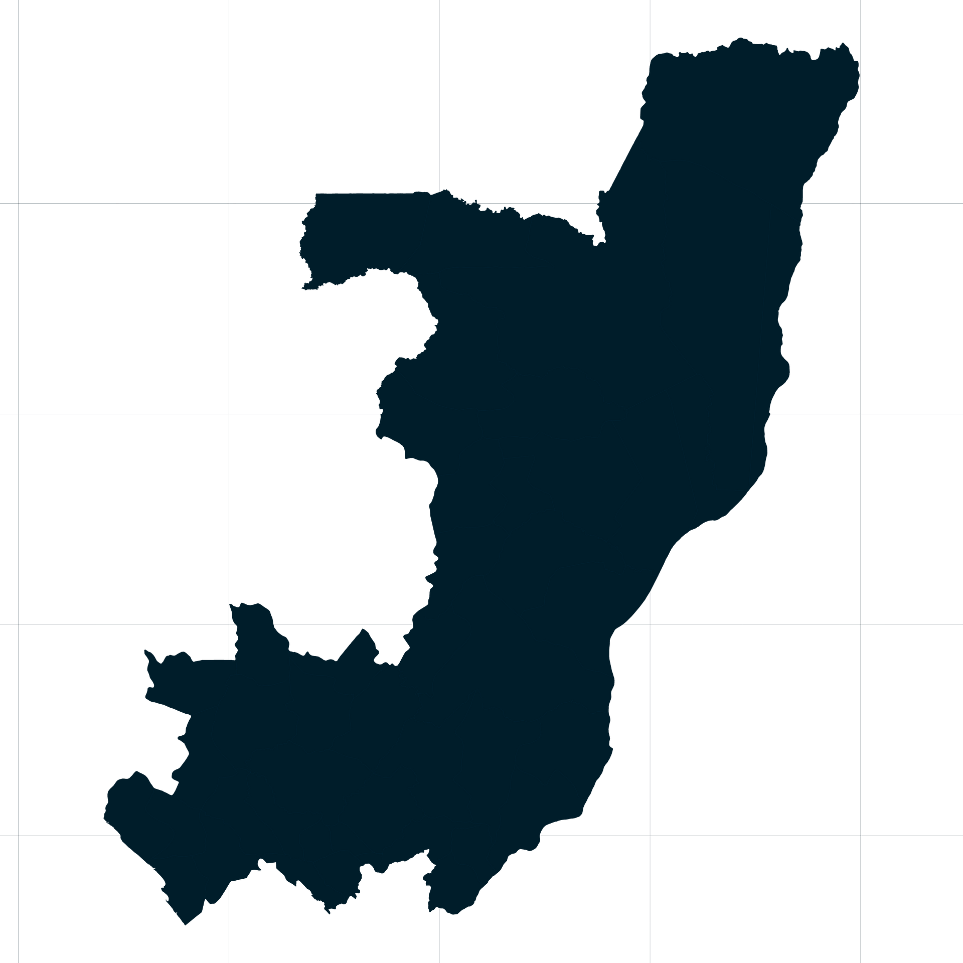
Map #334649
Download map
PNG format
Full (2560x2560)
SVG format
Scalable vector (any size)
Licence
 Licenced under a Creative Commons Attribution 4.0 International Licence
Free to copy and distribute.
Free for commercial and non-commercial use, but you must credit.
Attribution example:
Image source: SuperMap.World
Unlock this map
Access high definition downloads and full-use licence (no attribution required).
Description
Mercator projection map of Congo showing boundaries in night cerulean on transparent background
Projection
Location
Similar

#37519🇨🇩 Congo (Dem. Rep.)
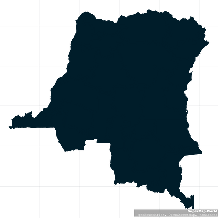
#46870🇨🇩 Congo (Dem. Rep.)

#79130🇨🇩 Congo (Dem. Rep.)

#114260🇨🇩 Congo (Dem. Rep.)

#124950🇨🇬 Congo

#138228🇨🇬 Congo

#143398🇨🇩 Congo (Dem. Rep.)

#160765🇨🇬 Congo