Map #33636
Download map
PNG format
Full (2560x2560)
SVG format
Scalable vector (any size)
Licence
 Licenced under a Creative Commons Attribution 4.0 International Licence
Free to copy and distribute.
Free for commercial and non-commercial use, but you must credit.
Attribution example:
Image source: SuperMap.World
Unlock this map
Access high definition downloads and full-use licence (no attribution required).
Description
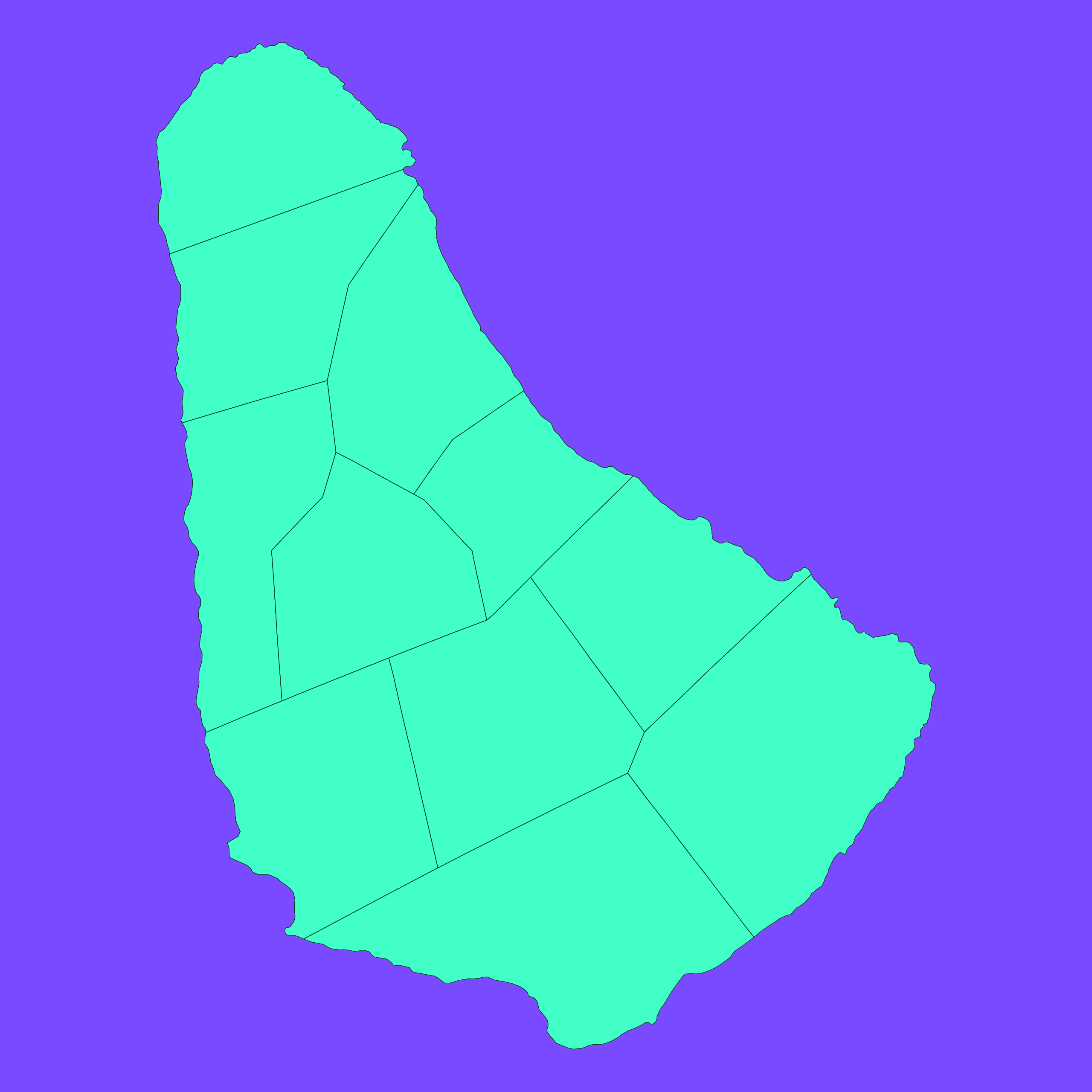
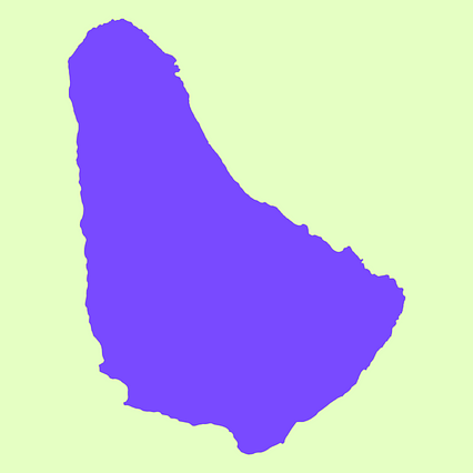
Mercator projection map of Barbados showing parish boundaries in dim violet and dark emerald
Projection
Location
Data source
Similar
#1777🇧🇧 Barbade
#160699🇧🇧 Barbade

#277303🇧🇧 Barbade
#297181🇧🇧 Barbade
#371309🇧🇧 Barbade