Map #340302
Download map
PNG format
Full (2560x1487)
SVG format
Scalable vector (any size)
Licence
 Licenced under a Creative Commons Attribution 4.0 International Licence
Free to copy and distribute.
Free for commercial and non-commercial use, but you must credit.
Attribution example:
Image source: SuperMap.World
Unlock this map
Access high definition downloads and full-use licence (no attribution required).
Description
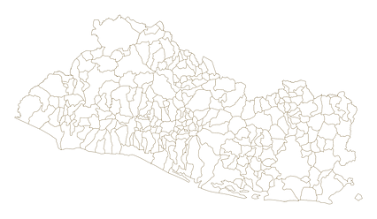
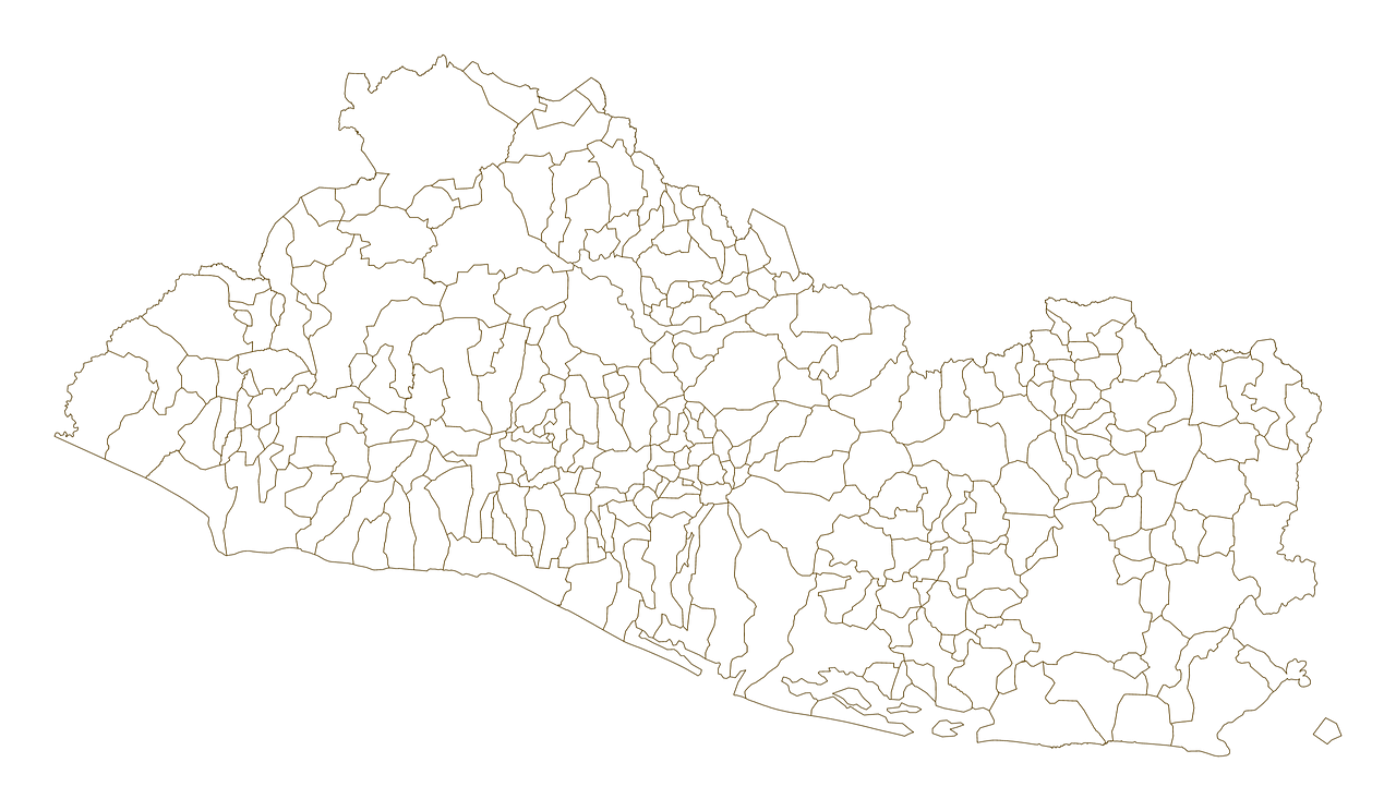
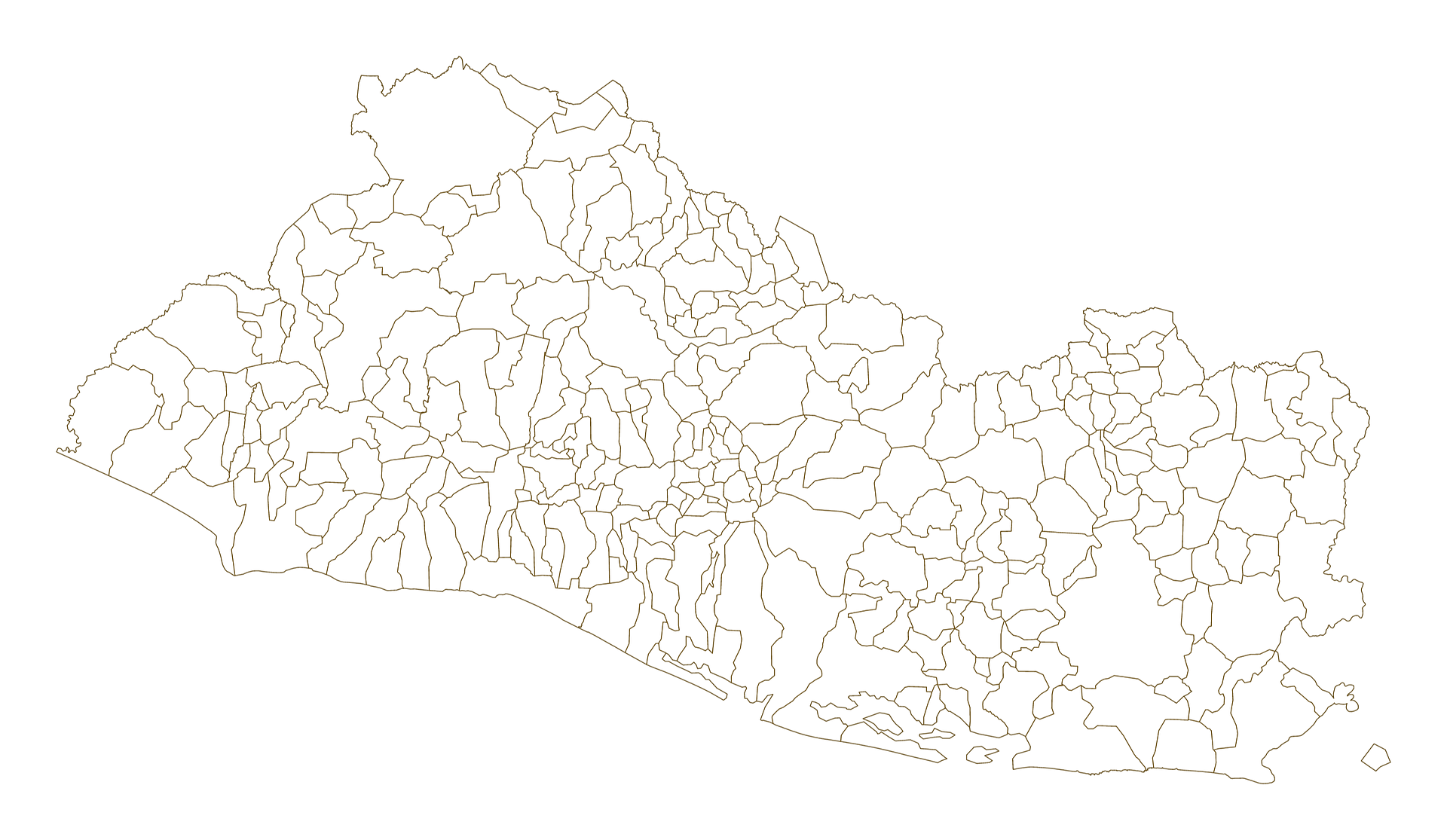
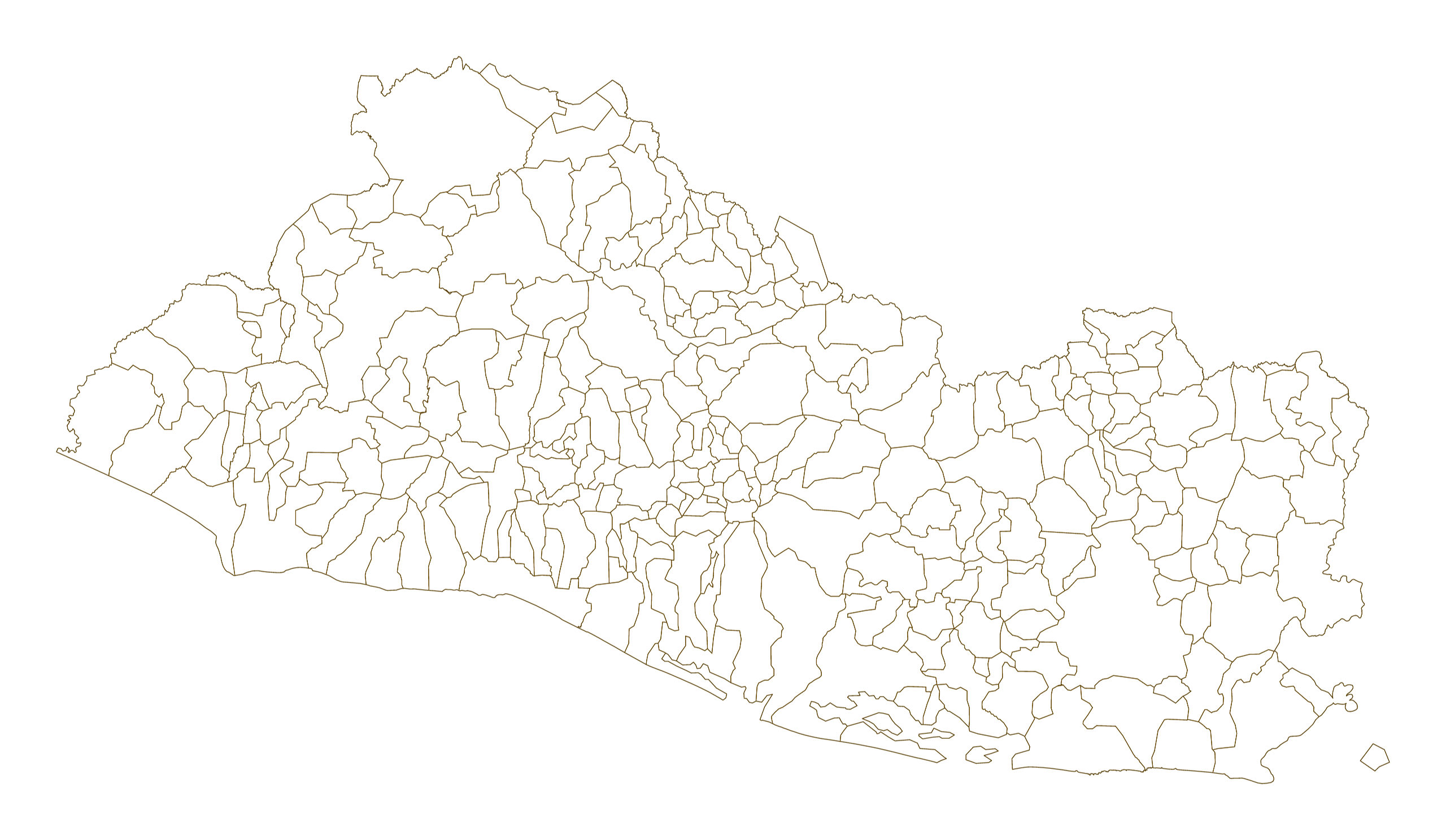
Mercator projection map of El Salvador showing municipalities boundaries in dark amber on transparent background
Projection
Location
Data source
Similar
#36052🇸🇻 El Salvador
#175408🇸🇻 El Salvador
#526181🇸🇻 El Salvador
#991946🇸🇻 El Salvador