Map #354583

Description

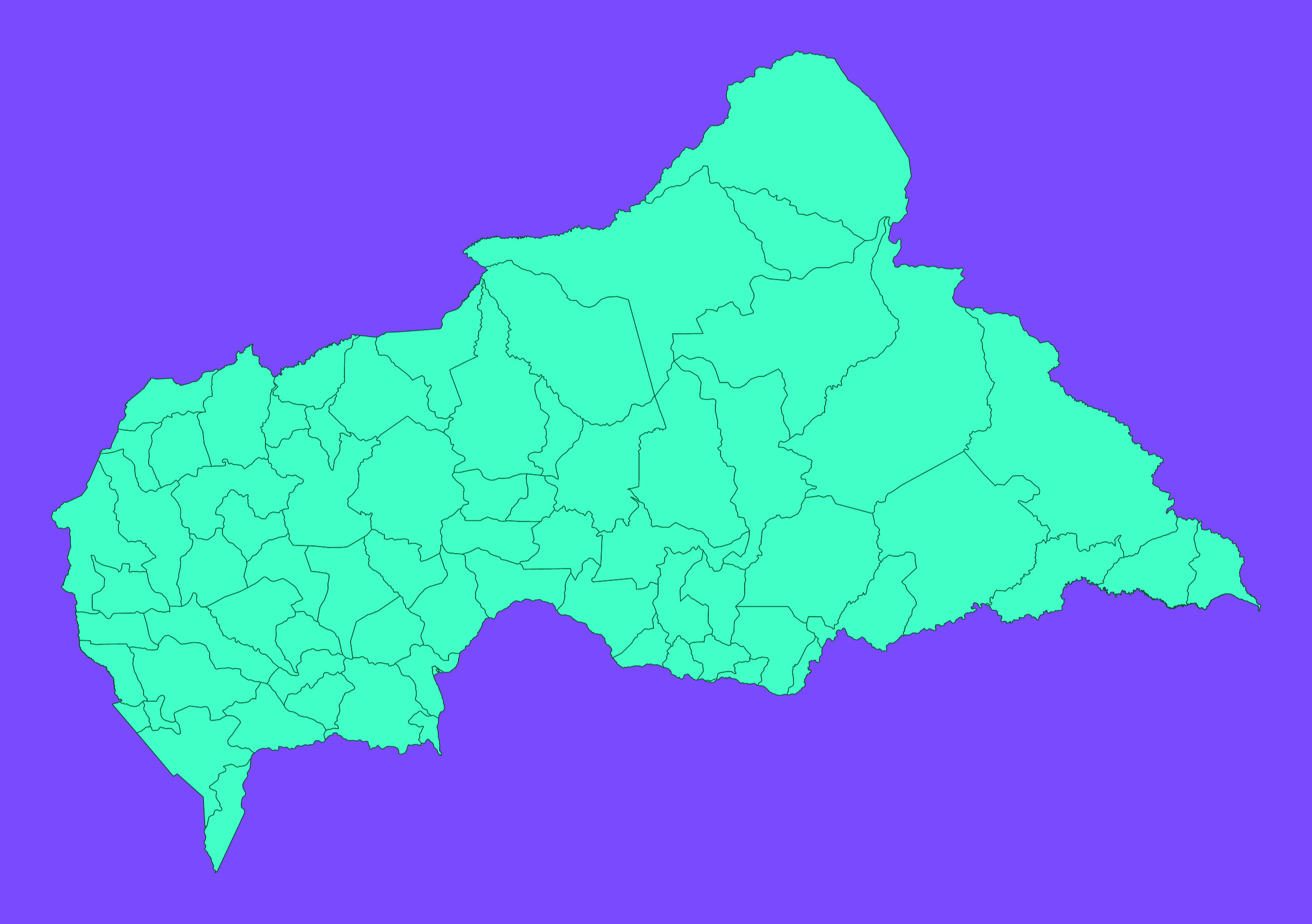
Mercator projection map of Central African Republic showing sub-prefectures boundaries in dim violet and dark emerald

Colours

Projection

Mercator

Location

Central African Republic

Data source

geoBoundaries, UNHCR


Similar

Mercator projection map of Central African Republic in whitened-pink and dim aquamarine

#15778🇨🇫 Central African Republic

Orthographic projection map of the World focused on Central African Republic in light gray and kassel-earth

#136334🇨🇫 Central African Republic

Orthographic projection map of the World focused on Central African Republic in whitened-pink and dim aquamarine

#291612🇨🇫 Central African Republic

Orthographic projection map of the World focused on Central African Republic in whitened-pink and aquamarine

#590005🇨🇫 Central African Republic

Mercator projection map of Central African Republic in light gray and kassel-earth

#717325🇨🇫 Central African Republic

Mercator projection map of Central African Republic showing prefecture and commune boundaries in dim violet and dark emerald

#733092🇨🇫 Central African Republic

Mercator projection map of Central African Republic showing prefecture and commune boundaries in whitened-pink and aquamarine

#773553🇨🇫 Central African Republic

Orthographic projection map of the World focused on Central African Republic in dim violet and dark emerald

#812218🇨🇫 Central African Republic