
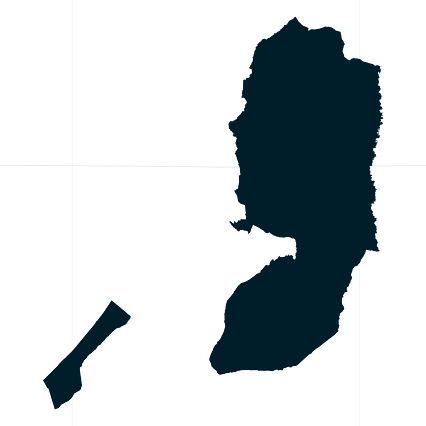
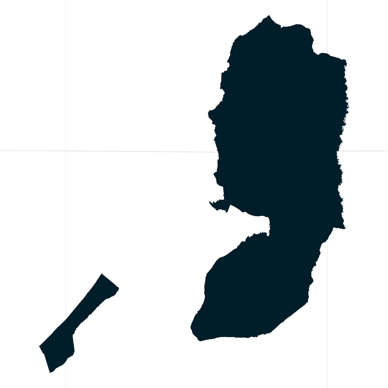
Map #362864
Download map
PNG format
Full (2560x2560)
SVG format
Scalable vector (any size)
Licence
 Licenced under a Creative Commons Attribution 4.0 International Licence
Free to copy and distribute.
Free for commercial and non-commercial use, but you must credit.
Attribution example:
Image source: SuperMap.World
Unlock this map
Access high definition downloads and full-use licence (no attribution required).
Description
Mercator projection map of State of Palestine showing territory boundaries in night cerulean on transparent background
Projection
Location
Data source
Similar

#63915🇵🇸 Palestine

#143624🇵🇸 Palestine

#250549🇵🇸 Palestine

#495258🇵🇸 Palestine

#639697🇵🇸 Palestine

#671600🇵🇸 Palestine

#793112🇵🇸 Palestine

#873480🇵🇸 Palestine