
Map #394812
Download map
PNG format
Full (2560x1401)
SVG format
Scalable vector (any size)
Licence
 Licenced under a Creative Commons Attribution 4.0 International Licence
Free to copy and distribute.
Free for commercial and non-commercial use, but you must credit.
Attribution example:
Image source: SuperMap.World
Unlock this map
Access high definition downloads and full-use licence (no attribution required).
Description
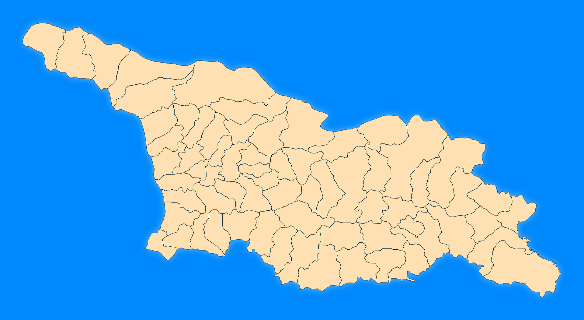
Mercator projection map of Georgia showing municipality boundaries in blue and pastel amber
Projection
Location
Data source
Similar

#81336🇬🇪 Georgia

#423302🇬🇪 Georgia

#455970🇬🇪 Georgia

#499759🇬🇪 Georgia

#547639🇬🇪 Georgia

#641242🇬🇪 Georgia

#643813🇬🇪 Georgia