
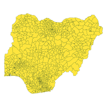
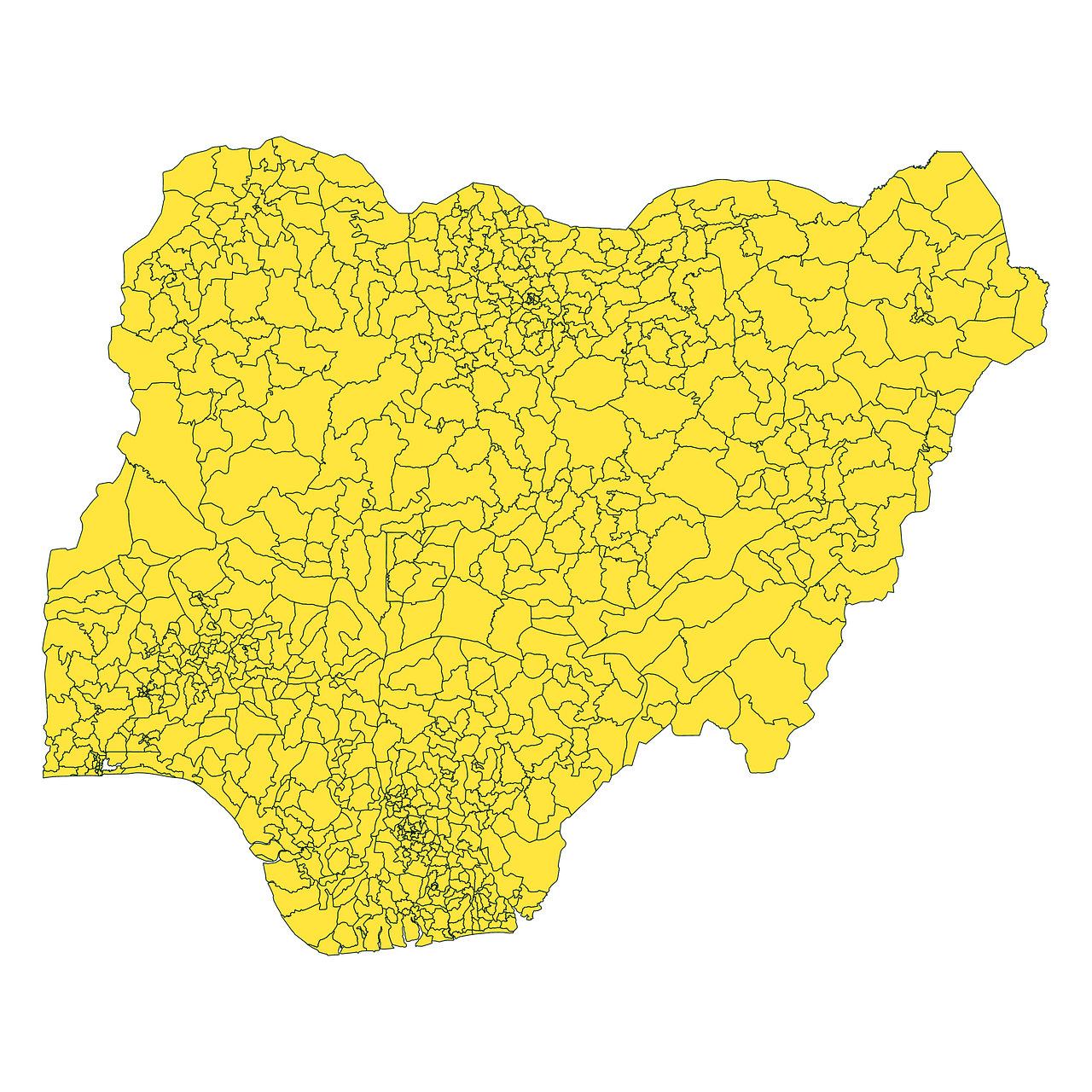
Map #395673
Download map
PNG format
Full (2560x2560)
SVG format
Scalable vector (any size)
Licence
 Licenced under a Creative Commons Attribution 4.0 International Licence
Free to copy and distribute.
Free for commercial and non-commercial use, but you must credit.
Attribution example:
Image source: SuperMap.World
Unlock this map
Access high definition downloads and full-use licence (no attribution required).
Description
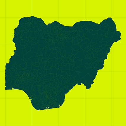
Mercator projection map of Nigeria showing local government areas boundaries in night teal on transparent background
Projection
Location
Data source
Similar

#200880🇳🇬 Nigeria

#242677🇳🇬 Nigeria

#304284🇳🇬 Nigeria
#453016🇳🇬 Nigeria

#453688🇳🇬 Nigeria

#476790🇳🇬 Nigeria

#554106🇳🇬 Nigeria
#695009🇳🇬 Nigeria