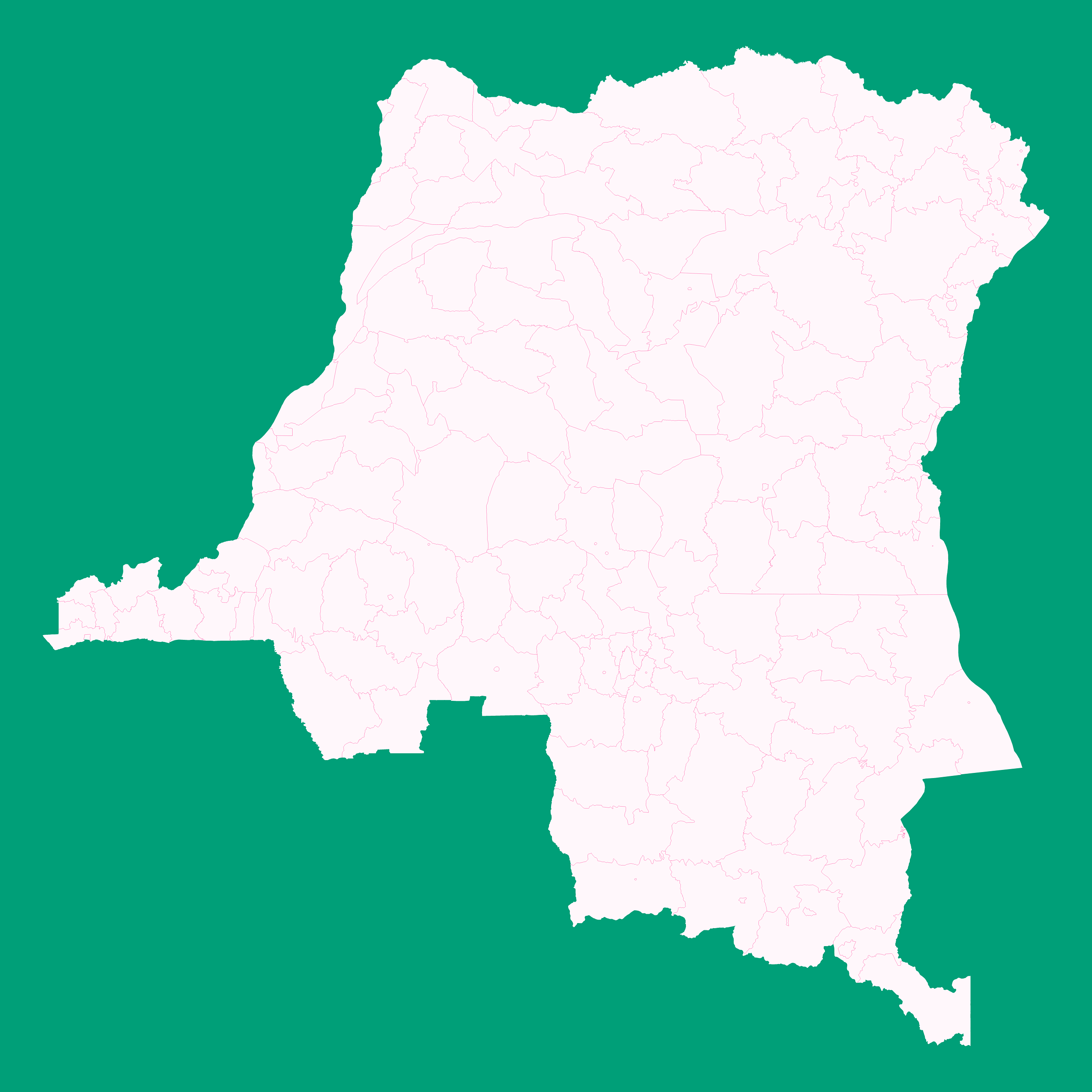
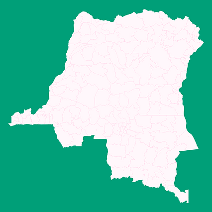
Map #414686
Download map
PNG format
Full (2560x2560)
SVG format
Scalable vector (any size)
Licence
 Licenced under a Creative Commons Attribution 4.0 International Licence
Free to copy and distribute.
Free for commercial and non-commercial use, but you must credit.
Attribution example:
Image source: SuperMap.World
Unlock this map
Access high definition downloads and full-use licence (no attribution required).
Description
Mercator projection map of Democratic Republic of the Congo showing territory, city boundaries in whitened-pink and aquamarine
Projection
Location
Similar

#27207🇨🇩 Congo (Dem. Rep.)

#50486🇨🇩 Congo (Dem. Rep.)

#53569🇨🇩 Congo (Dem. Rep.)

#90943🇨🇩 Congo (Dem. Rep.)

#181944🇨🇩 Congo (Dem. Rep.)

#247917🇨🇩 Congo (Dem. Rep.)

#477167🇨🇩 Congo (Dem. Rep.)

#529949🇨🇩 Congo (Dem. Rep.)