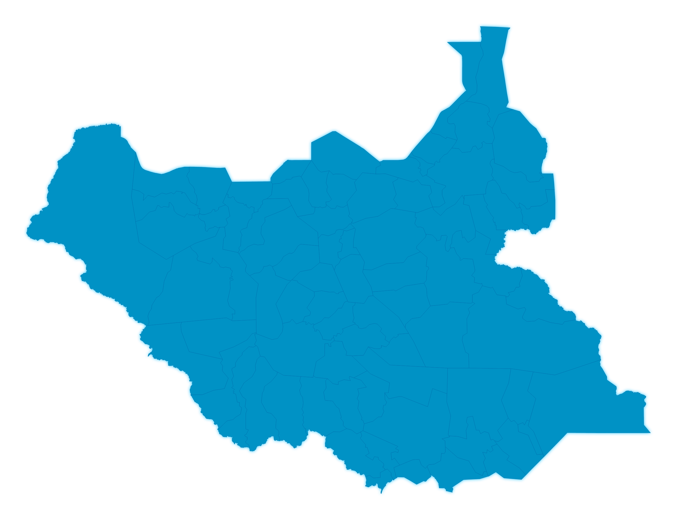
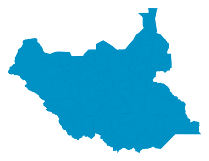
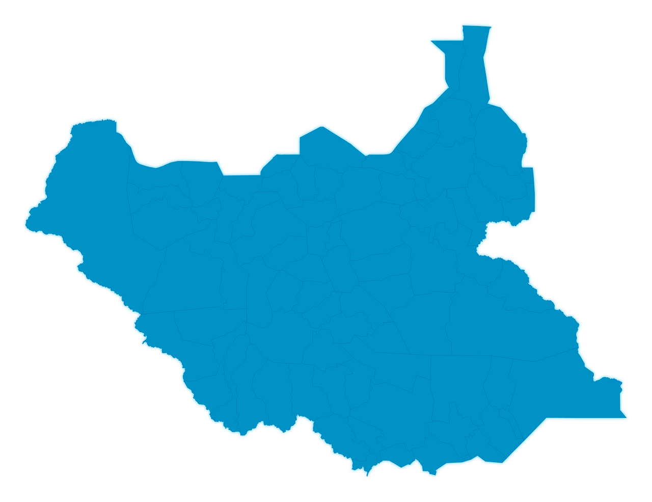
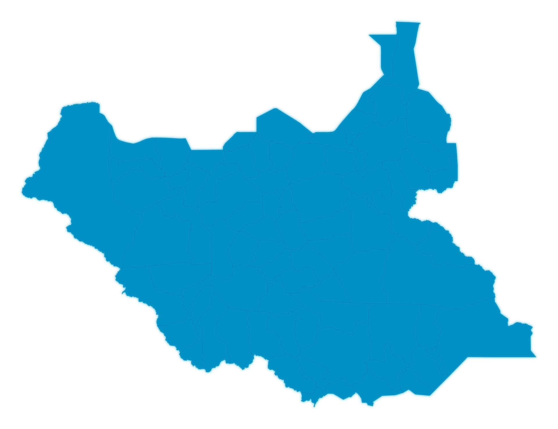
Map #417675
Download map
PNG format
Full (2560x1969)
SVG format
Scalable vector (any size)
Licence
 Licenced under a Creative Commons Attribution 4.0 International Licence
Free to copy and distribute.
Free for commercial and non-commercial use, but you must credit.
Attribution example:
Image source: SuperMap.World
Unlock this map
Access high definition downloads and full-use licence (no attribution required).
Description
Mercator projection map of South Sudan in dim azure on transparent background
Projection
Location
Similar

#226334🇸🇸 South Sudan

#228291🇸🇸 South Sudan

#267443🇸🇸 South Sudan

#313521🇸🇸 South Sudan

#351577🇸🇸 South Sudan

#417271🇸🇸 South Sudan

#525796🇸🇸 South Sudan

#569161🇸🇸 South Sudan