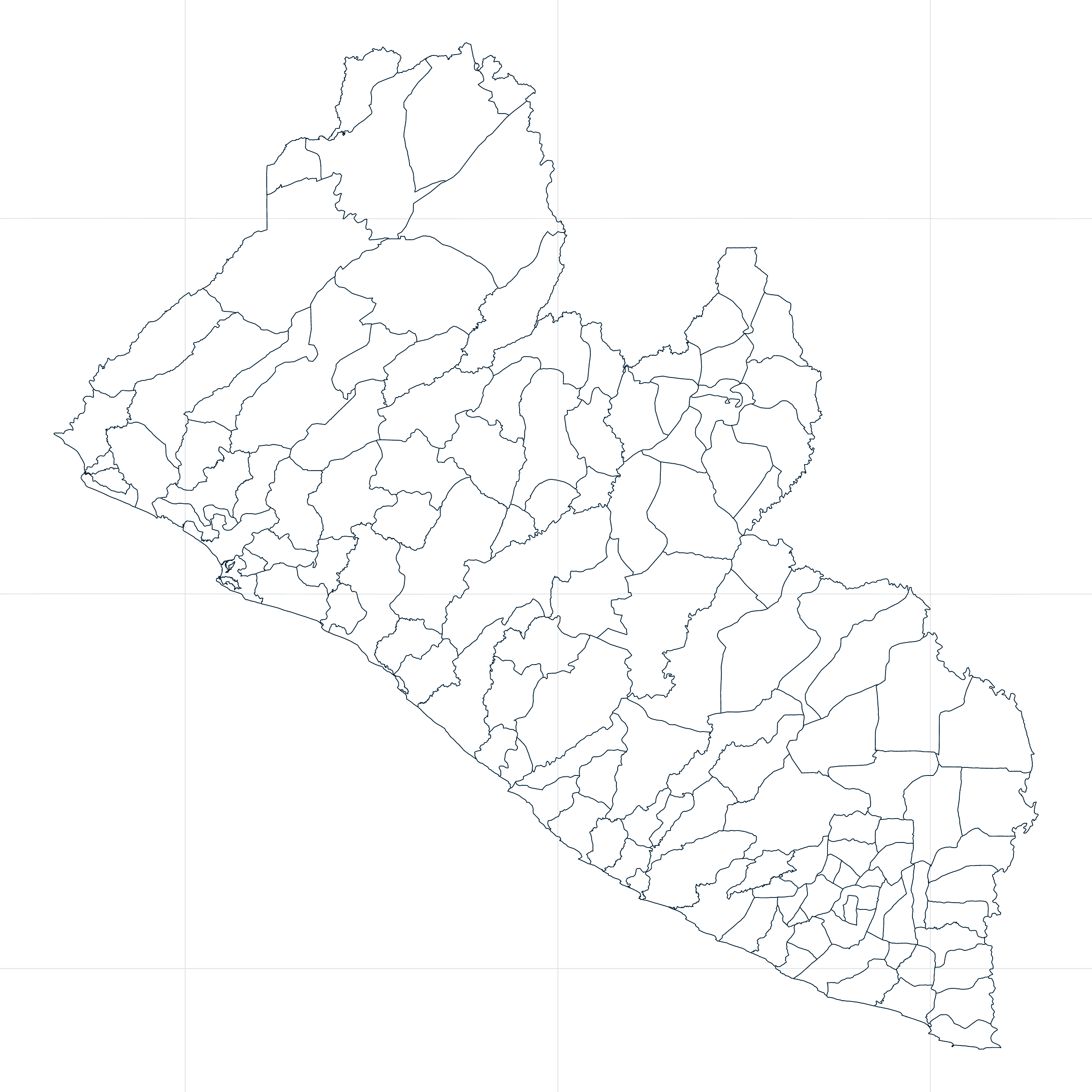
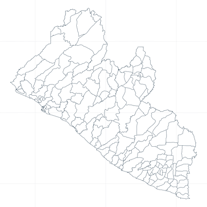
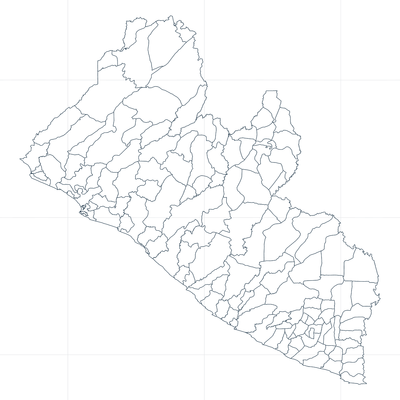
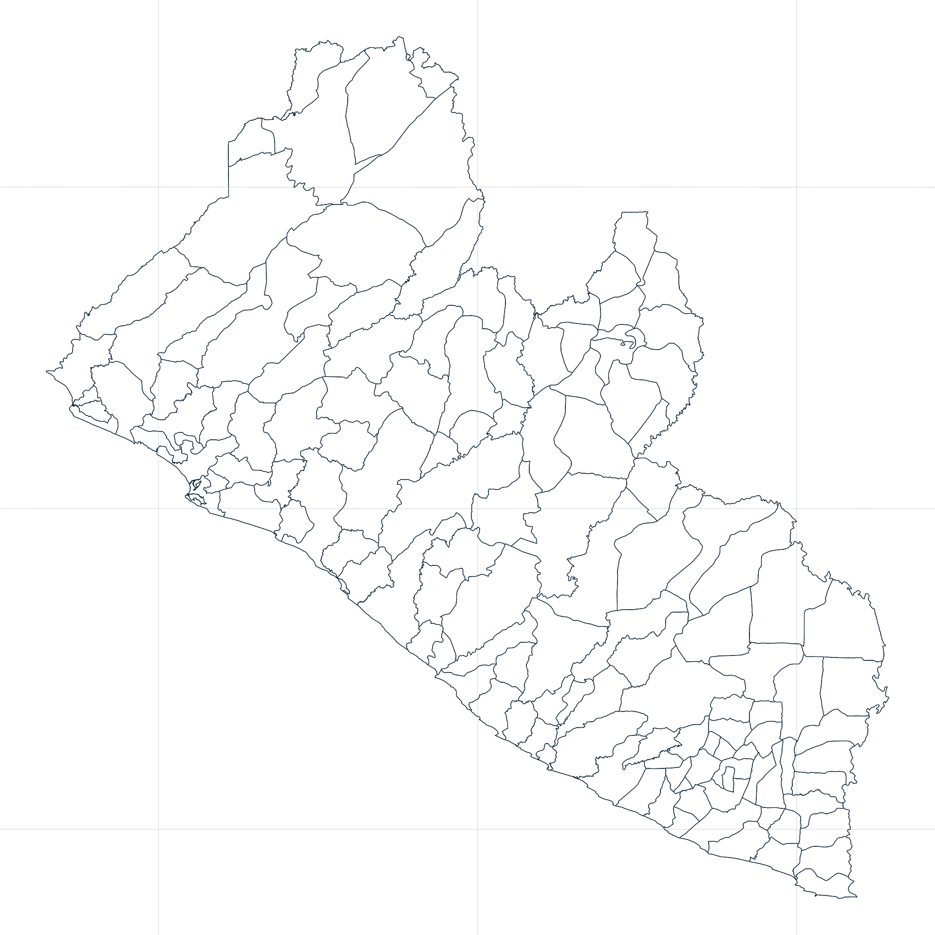
Map #436712
Download map
PNG format
Full (2560x2560)
SVG format
Scalable vector (any size)
Licence
 Licenced under a Creative Commons Attribution 4.0 International Licence
Free to copy and distribute.
Free for commercial and non-commercial use, but you must credit.
Attribution example:
Image source: SuperMap.World
Unlock this map
Access high definition downloads and full-use licence (no attribution required).
Description
Mercator projection map of Liberia in night azure on transparent background
Projection
Location
Data source
Similar

#18118🇱🇷 Liberia

#228090🇱🇷 Liberia

#292426🇱🇷 Liberia

#408162🇱🇷 Liberia

#452360🇱🇷 Liberia

#489382🇱🇷 Liberia

#599919🇱🇷 Liberia

#846195🇱🇷 Liberia