
Map #444839
Download map
PNG format
Full (2560x1604)
SVG format
Scalable vector (any size)
Licence
Licenced under a Open Data Commons Open Database License 1.0
- Free to copy and distribute
- Free for commercial and non-commercial use, but you must credit (Image: SuperMap.World, Data: geoBoundaries, OpenStreetMap, Wambacher)
- Share-alike: if you publicly use any adapted version you must also offer that adapted work under the same licence
Unlock this map
Access high definition downloads and full-use licence (no attribution required).
Description
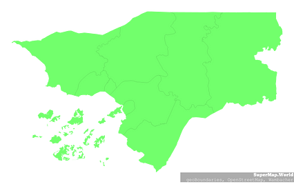
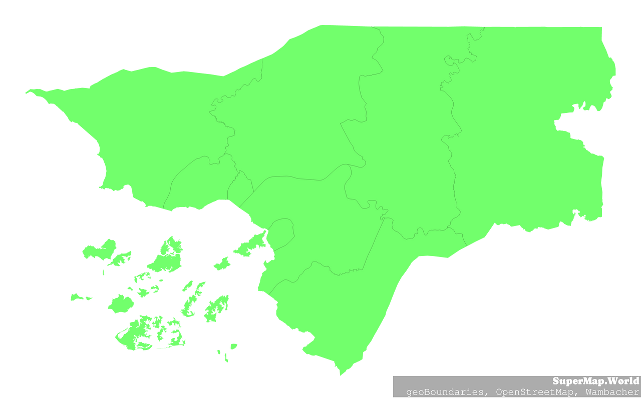
Mercator projection map of Guinea-Bissau showing regiões boundaries in pastel green on transparent background
Projection
Location
Data source
Licence
Open Data Commons Open Database License 1.0
Similar

#453686🇬🇼 Guinea-Bissau

#707999🇬🇼 Guinea-Bissau

#936971🇬🇼 Guinea-Bissau