
Map #458537
Download map
PNG format
Full (2560x2560)
SVG format
Scalable vector (any size)
Licence
 Licenced under a Creative Commons Attribution 4.0 International Licence
Free to copy and distribute.
Free for commercial and non-commercial use, but you must credit.
Attribution example:
Image source: SuperMap.World
Unlock this map
Access high definition downloads and full-use licence (no attribution required).
Description
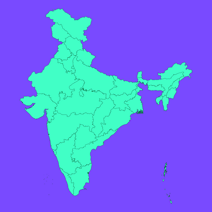
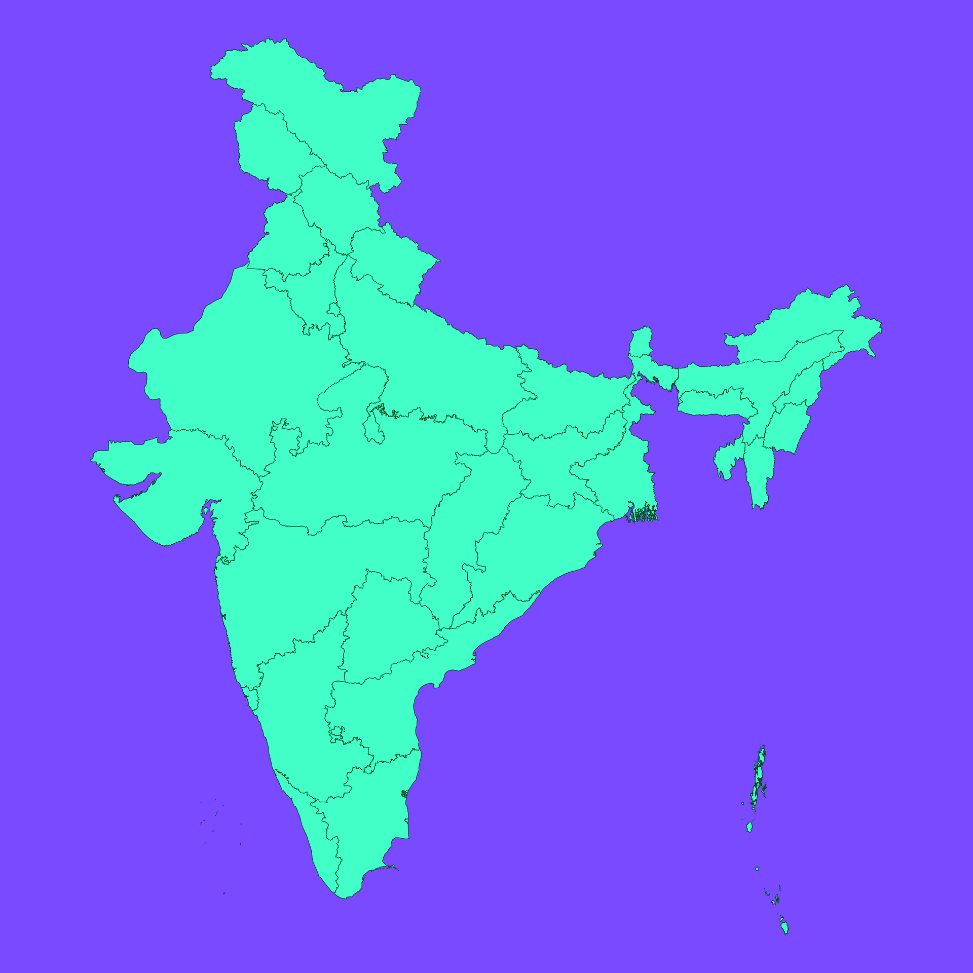
Mercator projection map of India showing state / union territory boundaries in dim violet and dark emerald
Projection
Location
Similar

#25383🇮🇳 India

#59219🇮🇳 India

#153625🇮🇳 India

#413532🇮🇳 India

#463555🇮🇳 India

#632505🇮🇳 India

#662053🇮🇳 India
#732005🇮🇳 India