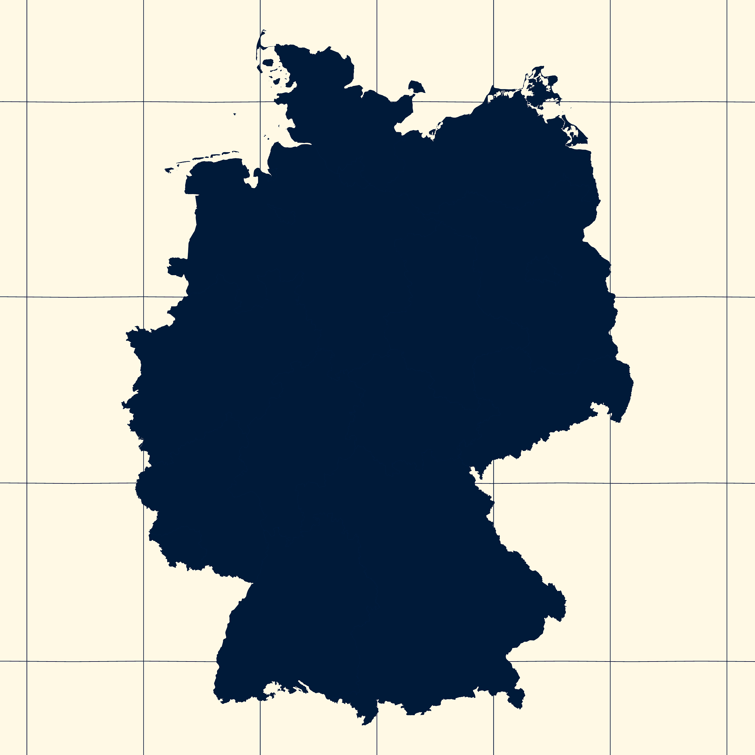
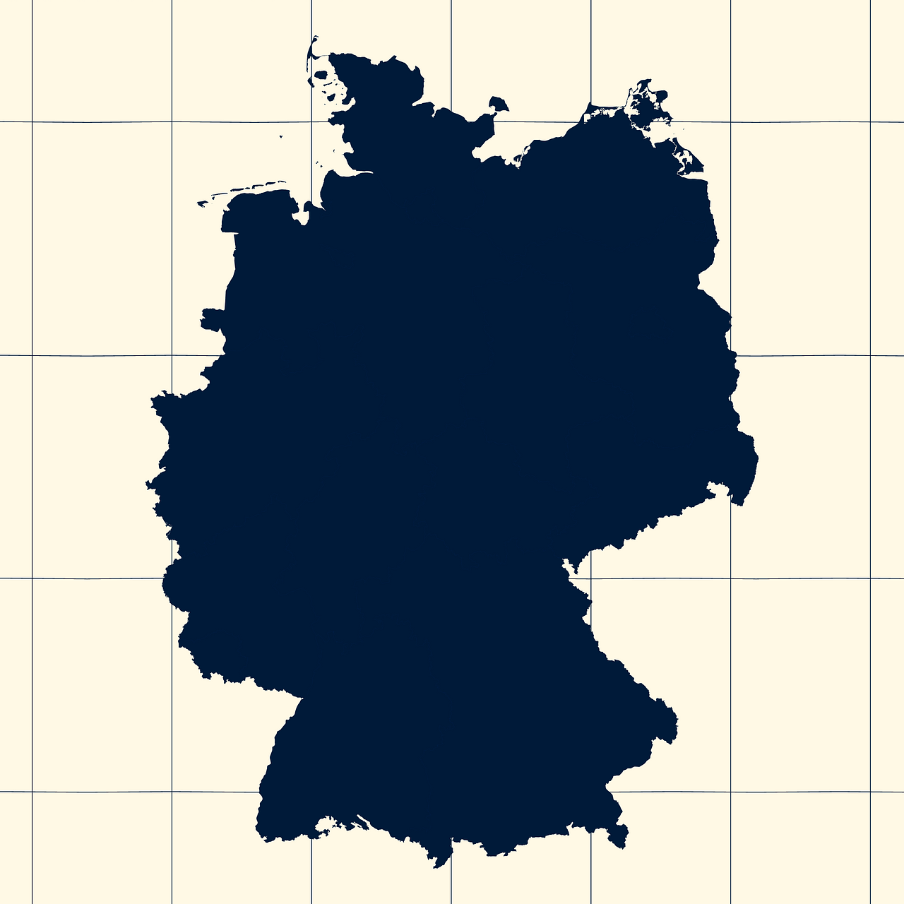
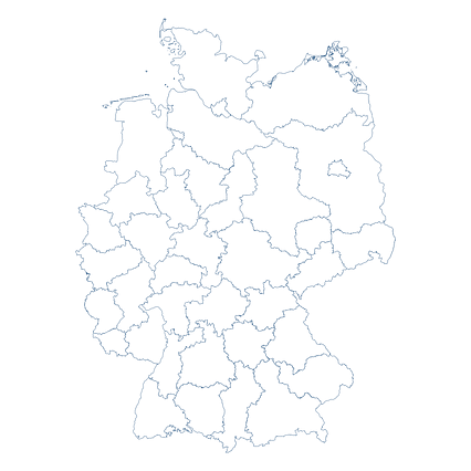
Map #474815
Download map
PNG format
Full (2560x2560)
SVG format
Scalable vector (any size)
Licence
 Licenced under a Creative Commons Attribution 4.0 International Licence
Free to copy and distribute.
Free for commercial and non-commercial use, but you must credit.
Attribution example:
Image source: SuperMap.World
Unlock this map
Access high definition downloads and full-use licence (no attribution required).
Description
Mercator projection map of Germany showing länder boundaries in night blue and whitened-beige
Projection
Location
Similar
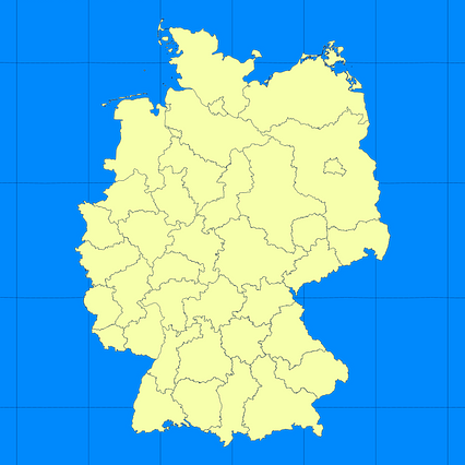
#111240🇩🇪 Germany
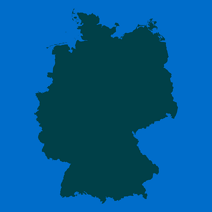
#140034🇩🇪 Germany
#174292🇩🇪 Germany

#221482🇩🇪 Germany
#238056🇩🇪 Germany

#265810🇩🇪 Germany
#330460🇩🇪 Germany

#568762🇩🇪 Germany