
Map #475952
Download map
PNG format
Full (1189x2560)
SVG format
Scalable vector (any size)
Licence
Licenced under a Open Data Commons Open Database License 1.0
- Free to copy and distribute
- Free for commercial and non-commercial use, but you must credit (Image: SuperMap.World, Data: geoBoundaries, OpenStreetMap, Wambacher)
- Share-alike: if you publicly use any adapted version you must also offer that adapted work under the same licence
Unlock this map
Access high definition downloads and full-use licence (no attribution required).
Description
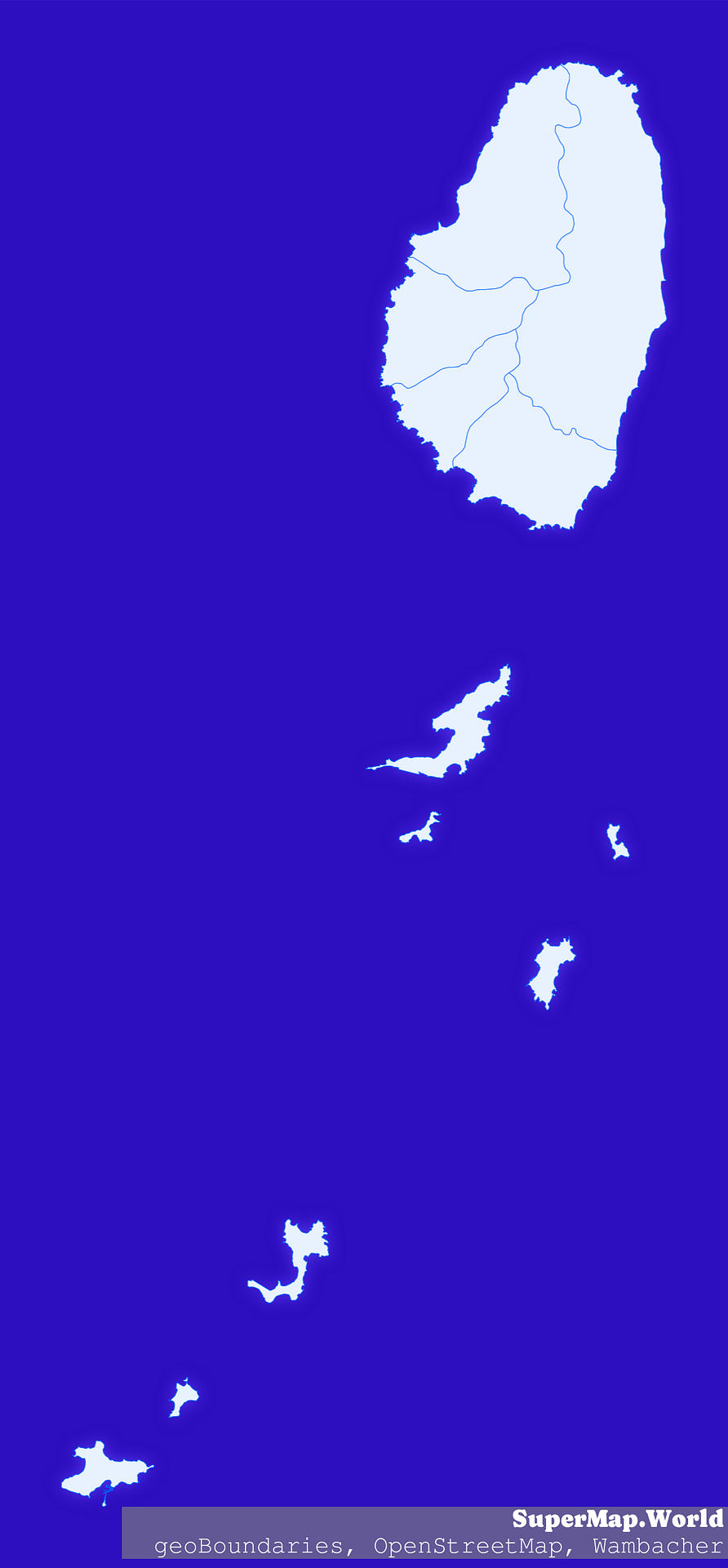
Mercator projection map of Saint Vincent and the Grenadines showing parishes boundaries in whitened-azure and dim indigo
Projection
Location
Data source
Licence
Open Data Commons Open Database License 1.0
Similar

#61564🇻🇨 Saint Vincent and the Grenadines

#151520🇻🇨 Saint Vincent and the Grenadines

#413281🇻🇨 Saint Vincent and the Grenadines

#916395🇻🇨 Saint Vincent and the Grenadines

#974421🇻🇨 Saint Vincent and the Grenadines