
Map #479031
Download map
PNG format
Full (2560x1505)
SVG format
Scalable vector (any size)
Licence
 Licenced under a Creative Commons Attribution 4.0 International Licence
Free to copy and distribute.
Free for commercial and non-commercial use, but you must credit.
Attribution example:
Image source: SuperMap.World
Unlock this map
Access high definition downloads and full-use licence (no attribution required).
Description
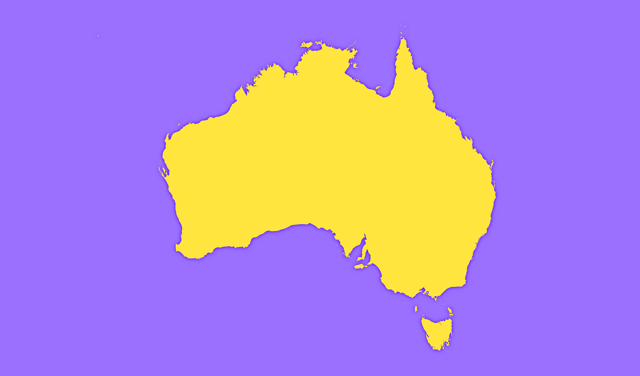
Mercator projection map of Australia showing states and territories boundaries in violet and maize-yellow
Projection
Location
Data source
Similar

#30394🇦🇺 Australia

#80742🇦🇺 Australia
#166568🇦🇺 Australia

#189520🇦🇺 Australia

#287886🇦🇺 Australia

#379035🇦🇺 Australia

#457901🇦🇺 Australia

#509117🇦🇺 Australia