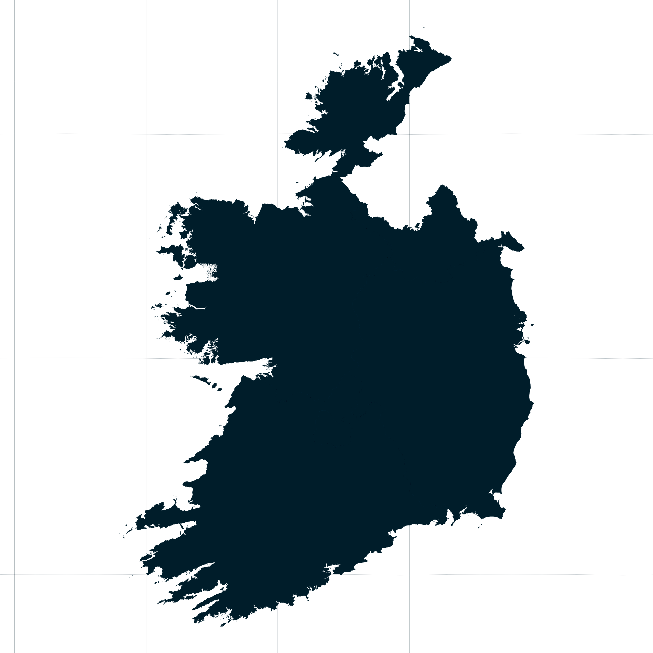
Map #491918
Download map
PNG format
Full (2560x2560)
SVG format
Scalable vector (any size)
Licence
 Licenced under a Creative Commons Attribution 4.0 International Licence
Free to copy and distribute.
Free for commercial and non-commercial use, but you must credit.
Attribution example:
Image source: SuperMap.World
Unlock this map
Access high definition downloads and full-use licence (no attribution required).
Description
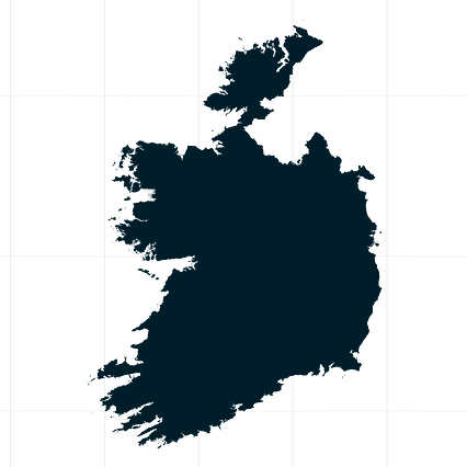
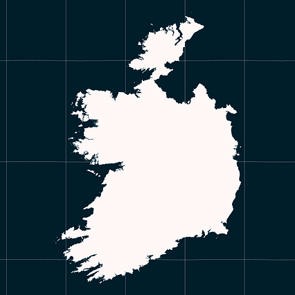
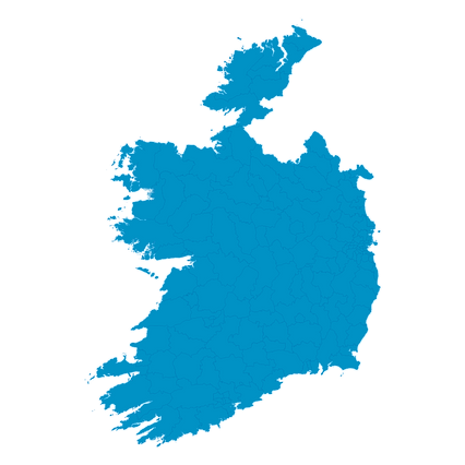
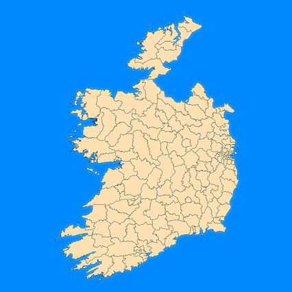
Mercator projection map of Ireland showing province boundaries in night cerulean on transparent background
Projection
Location
Data source
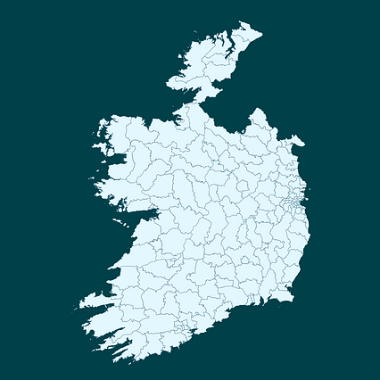
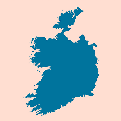
Similar
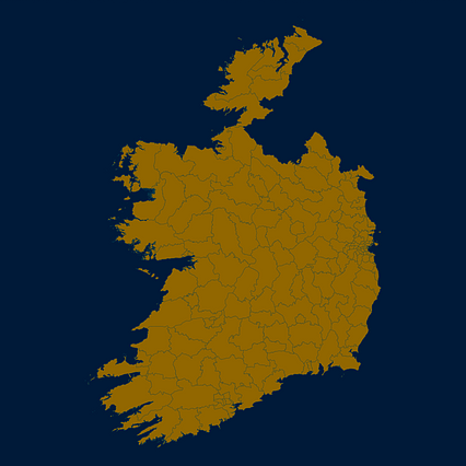
#60460🇮🇪 Ireland
#168051🇮🇪 Ireland
#324548🇮🇪 Ireland

#331386🇮🇪 Ireland
#394620🇮🇪 Ireland
#627979🇮🇪 Ireland
#657846🇮🇪 Ireland
#754932🇮🇪 Ireland