
Map #491971
Download map
PNG format
Full (2560x2560)
SVG format
Scalable vector (any size)
Licence
 Licenced under a Creative Commons Attribution 4.0 International Licence
Free to copy and distribute.
Free for commercial and non-commercial use, but you must credit.
Attribution example:
Image source: SuperMap.World
Unlock this map
Access high definition downloads and full-use licence (no attribution required).
Description
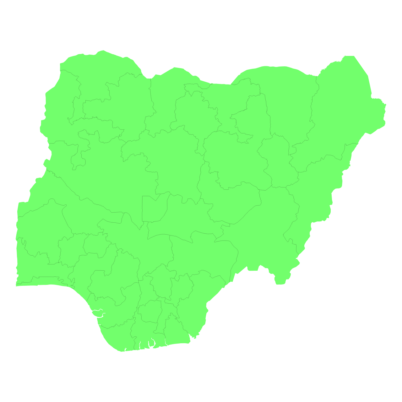
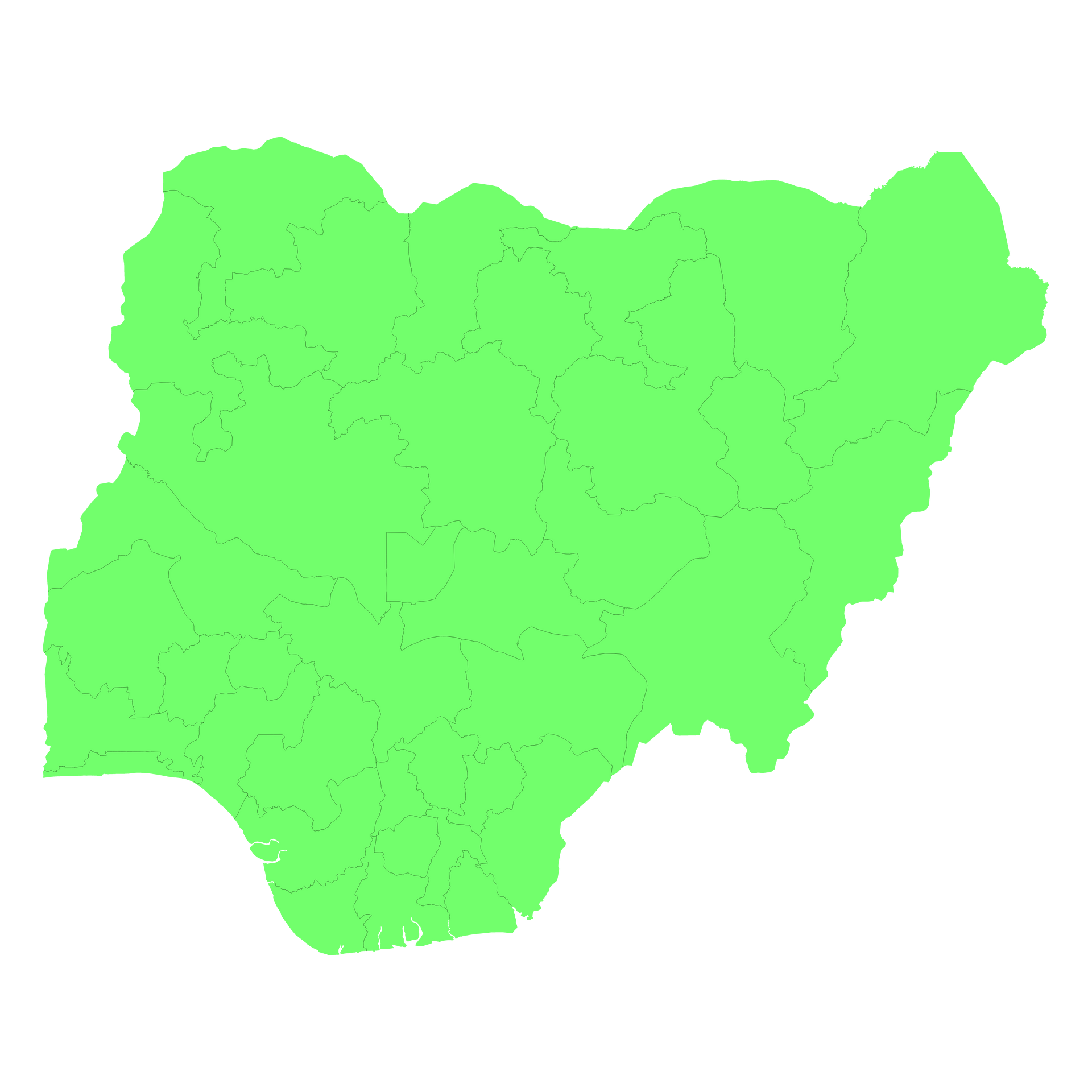
Mercator projection map of Nigeria showing state boundaries in pastel green on transparent background
Projection
Location
Data source
Similar

#54625🇳🇬 Nigeria

#200498🇳🇬 Nigeria

#400820🇳🇬 Nigeria
#765478🇳🇬 Nigeria

#924247🇳🇬 Nigeria