Map #494453

Description

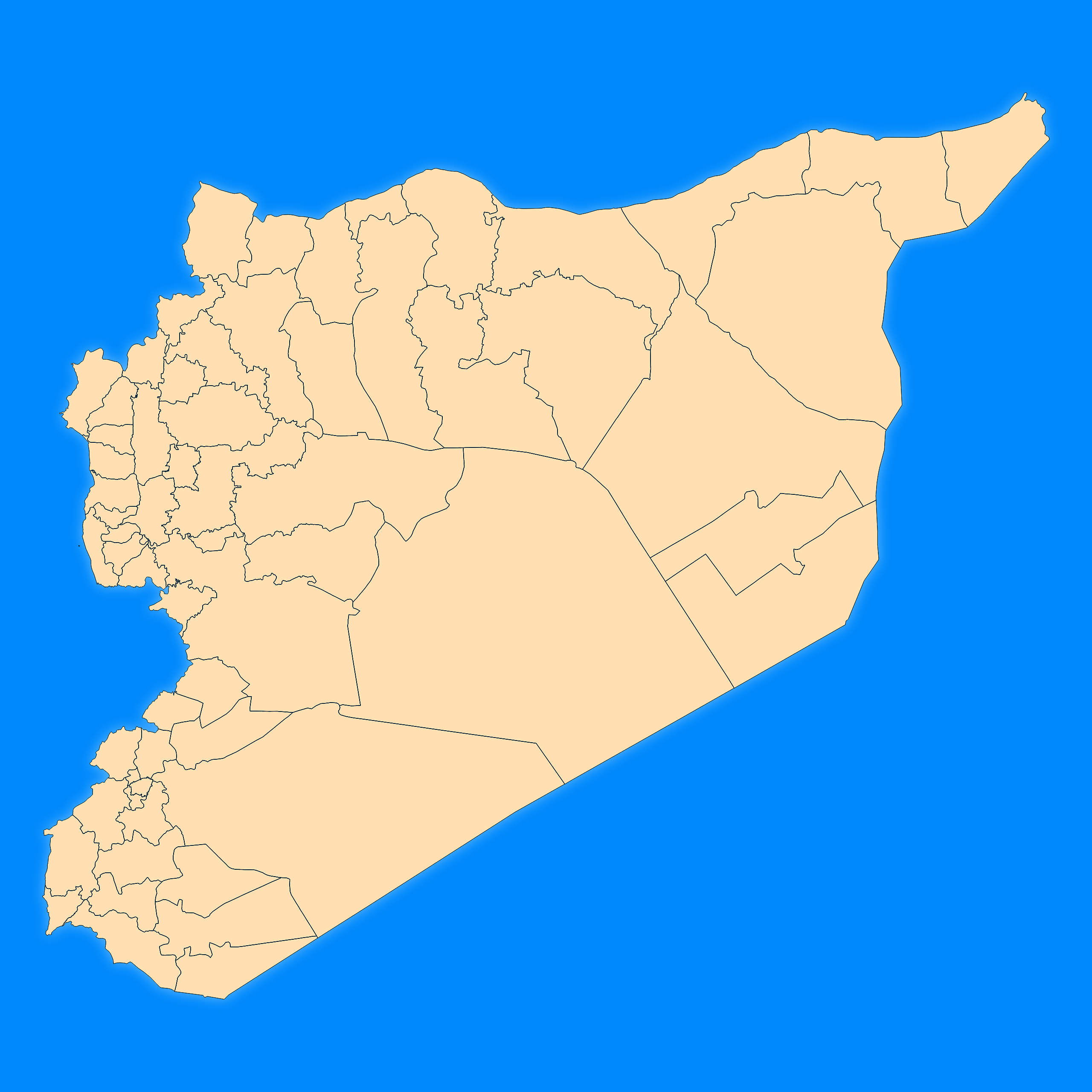
Mercator projection map of Syrian Arab Republic showing district boundaries in blue and pastel amber

Colours

Projection

Mercator

Location

Syria

Data source

geoBoundaries, United Nations Cartographic Section (UNCS) and United Nations Office for the Coordination of Humanitarian Affairs (UNOCHA), OCHA ROSC


Similar

Mercator projection map of Syrian Arab Republic in dim blue and dark powder

#113116πŸ‡ΈπŸ‡Ύ Syria

Orthographic projection map of the World focused on Syria in dim blue and dark powder

#159094πŸ‡ΈπŸ‡Ύ Syria

Orthographic projection map of the World focused on Syria in dark blue on transparent background

#179831πŸ‡ΈπŸ‡Ύ Syria

Mercator projection map of Syrian Arab Republic in dark blue on transparent background

#370854πŸ‡ΈπŸ‡Ύ Syria

Orthographic projection map of the World focused on Syria in blue and whitened-lime

#569741πŸ‡ΈπŸ‡Ύ Syria

Orthographic projection map of the World focused on Syria in night blue and dim amber

#643583πŸ‡ΈπŸ‡Ύ Syria

Mercator projection map of Syrian Arab Republic showing governorate boundaries in night blue and whitened-beige

#670146πŸ‡ΈπŸ‡Ύ Syria

Orthographic projection map of the World focused on Syria in night blue and whitened-beige

#686288πŸ‡ΈπŸ‡Ύ Syria