
Map #508831
Download map
PNG format
Full (2560x2560)
SVG format
Scalable vector (any size)
Licence
 Licenced under a Creative Commons Attribution 4.0 International Licence
Free to copy and distribute.
Free for commercial and non-commercial use, but you must credit.
Attribution example:
Image source: SuperMap.World
Unlock this map
Access high definition downloads and full-use licence (no attribution required).
Description
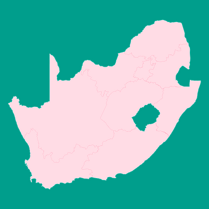
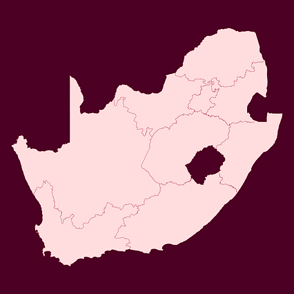
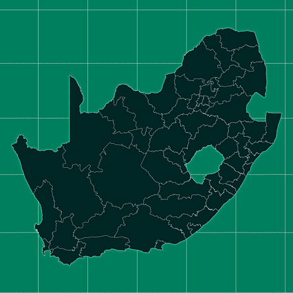
Mercator projection map of South Africa showing district municipality boundaries in pastel rose and teal
Projection
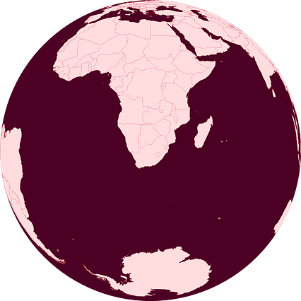
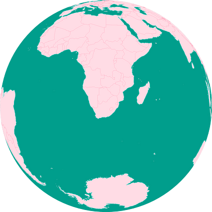
Location
Similar
#18141🇿🇦 South Africa

#300606🇿🇦 South Africa

#309469🇿🇦 South Africa
#432339🇿🇦 South Africa
#455150🇿🇦 South Africa
#465132🇿🇦 South Africa
#481759🇿🇦 South Africa

#481856🇿🇦 South Africa