Map #510742
Download map
PNG format
Full (1228x2560)
SVG format
Scalable vector (any size)
Licence
 Licenced under a Creative Commons Attribution 4.0 International Licence
Free to copy and distribute.
Free for commercial and non-commercial use, but you must credit.
Attribution example:
Image source: SuperMap.World
Unlock this map
Access high definition downloads and full-use licence (no attribution required).
Description
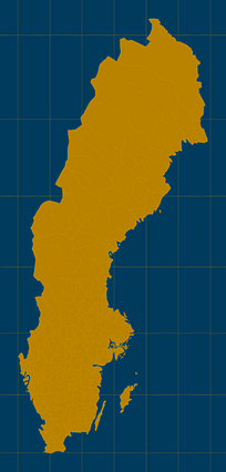
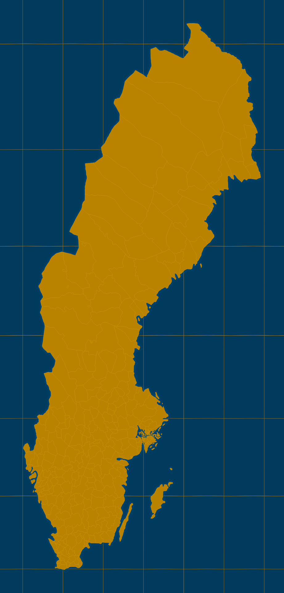
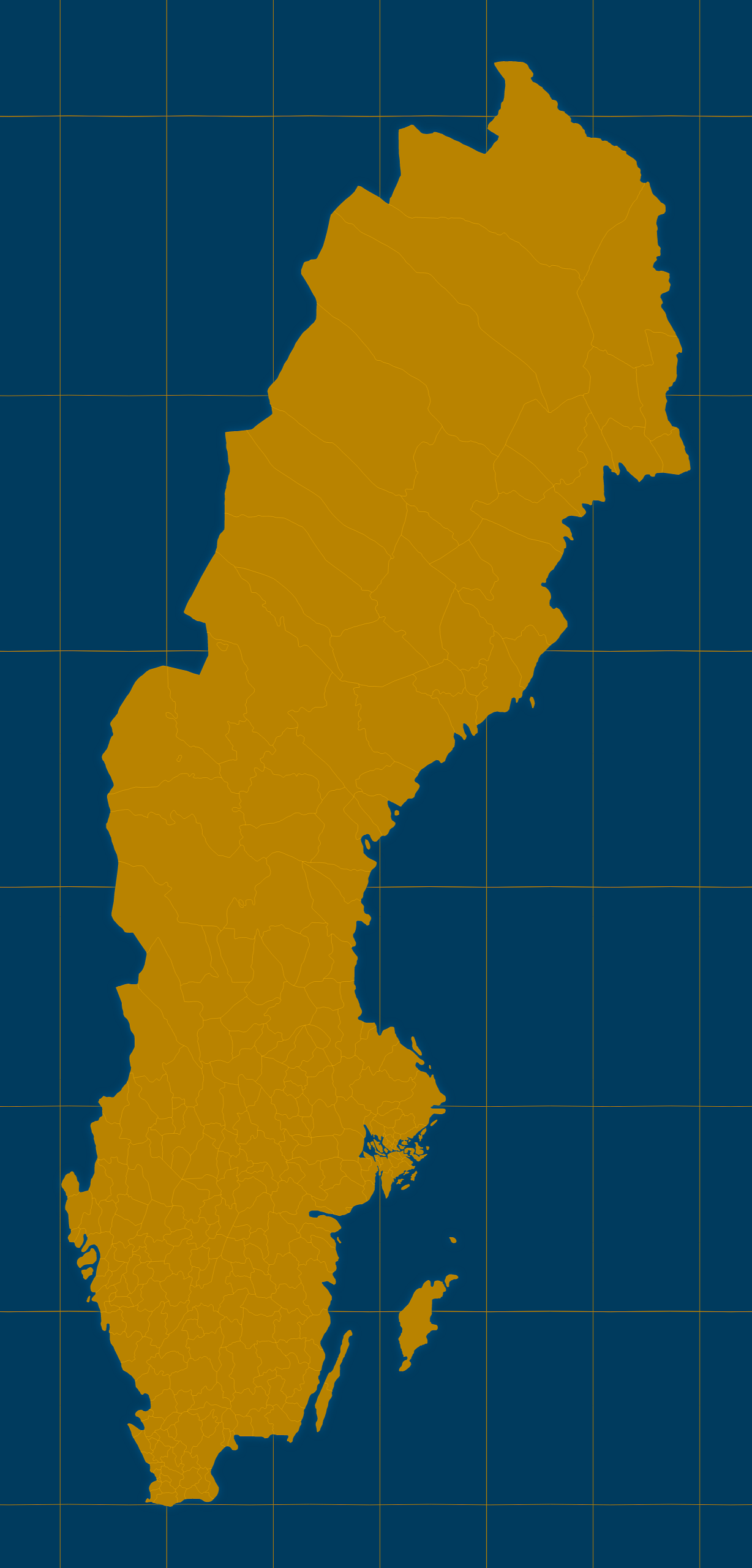
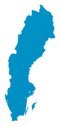
Mercator projection map of Sweden showing municipality boundaries in amber and dark azure
Projection
Location
Data source
Similar

#122521🇸🇪 Sweden

#130100🇸🇪 Sweden

#216272🇸🇪 Sweden
#307776🇸🇪 Sweden

#347114🇸🇪 Sweden

#356242🇸🇪 Sweden

#409457🇸🇪 Sweden
#433472🇸🇪 Sweden