Map #518344
Download map
PNG format
Full (2560x826)
SVG format
Scalable vector (any size)
Licence
 Licenced under a Creative Commons Attribution 4.0 International Licence
Free to copy and distribute.
Free for commercial and non-commercial use, but you must credit.
Attribution example:
Image source: SuperMap.World
Unlock this map
Access high definition downloads and full-use licence (no attribution required).
Description
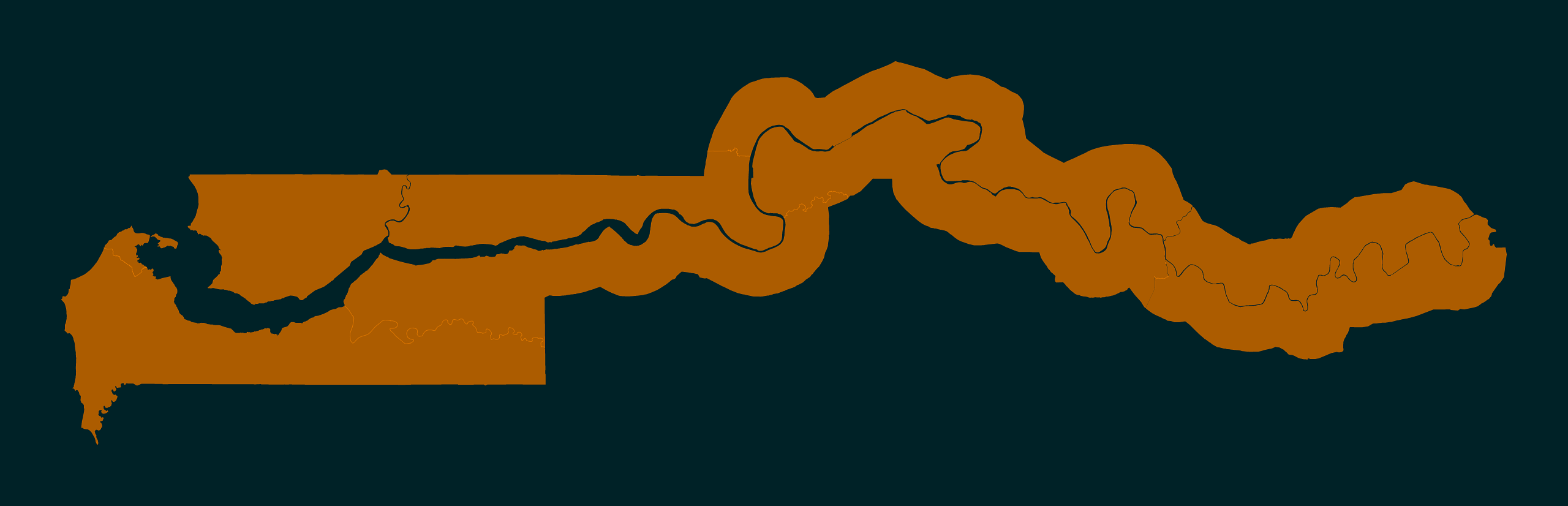
Mercator projection map of Gambia showing local government areas boundaries in night powder and dim cinnamon
Projection
Location
Similar

#65702🇬🇲 The Gambia

#262829🇬🇲 The Gambia

#306032🇬🇲 The Gambia

#491457🇬🇲 The Gambia

#678915🇬🇲 The Gambia

#776800🇬🇲 The Gambia